
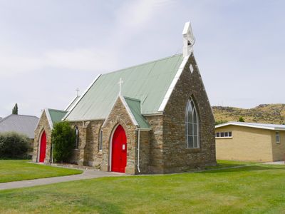
St James' Church, church building in Roxburgh, New Zealand
Location: Central Otago District
Address: 12 Ferry Road and Jedburgh Street, Roxburgh
GPS coordinates: -45.54180,169.31583
Latest update: May 10, 2025 00:01
Foulden Maar
48.5 km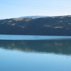
Lake Roxburgh
7.9 km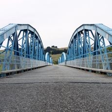
Millers Flat Bridge
15.5 km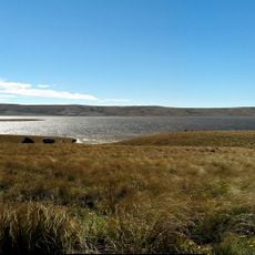
Loganburn Reservoir
46.1 km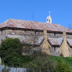
St Patricks Church School and Hall
50.4 km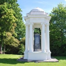
War Memorial and Peace Garden
50.2 km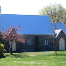
St Michael and All Angels
39.3 km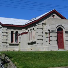
Lawrence Post Office
50.4 km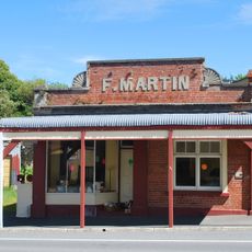
F. Martin Building
50.2 km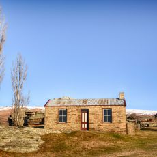
Mitchell's Cottage
22.2 km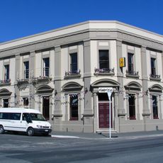
Bank of New Zealand Building
50.3 km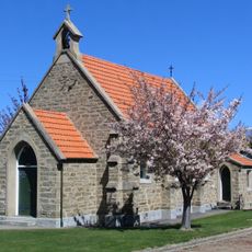
St Dunstan's Church
39.3 km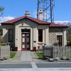
Alexandra Courthouse
32.4 km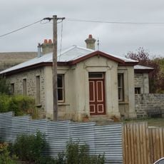
Ophir Courthouse
53 km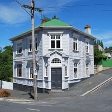
Bank of New South Wales
50.2 km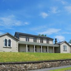
Lawrence Court House
50.4 km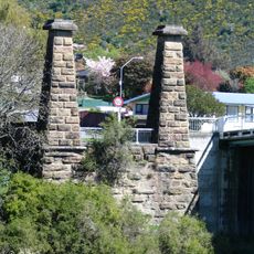
Roxburgh Bridge pier and tower remains
288 m
Commercial Hotel
39.5 km
Clyde Post Office
39.3 km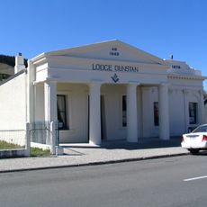
Lodge Dunstan
39.6 km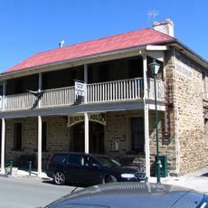
Dunstan Hotel
39.5 km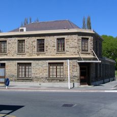
Simmond's Boarding House
32.2 km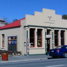
Tuapeka Times Office
50.4 km
Shops
50.3 km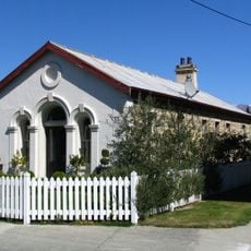
Clyde Courthouse
39.2 km
Oliver's Restaurant and Lodge Complex
39.6 km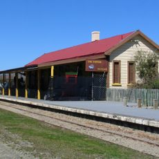
The Station Museum
39.4 km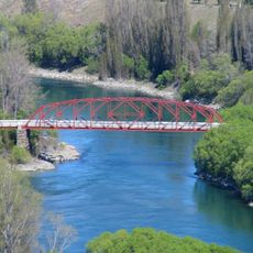
Earnscleugh Bridge
39.1 kmReviews
Visited this place? Tap the stars to rate it and share your experience / photos with the community! Try now! You can cancel it anytime.
Discover hidden gems everywhere you go!
From secret cafés to breathtaking viewpoints, skip the crowded tourist spots and find places that match your style. Our app makes it easy with voice search, smart filtering, route optimization, and insider tips from travelers worldwide. Download now for the complete mobile experience.

A unique approach to discovering new places❞
— Le Figaro
All the places worth exploring❞
— France Info
A tailor-made excursion in just a few clicks❞
— 20 Minutes