
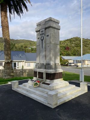
Greymouth Cenotaph, war memorial in Greymouth, New Zealand
Location: Grey District
Inception: 1924
Official opening: April 25, 1924
GPS coordinates: -42.45706,171.20683
Latest update: June 9, 2025 05:34
Brunner Mine
10 km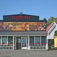
Shantytown
9 km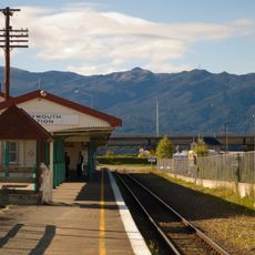
Greymouth Railway Station
1.2 km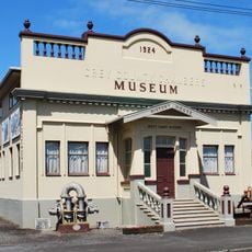
History House Museum
1 km
Dispatch & Garlick
536 m
Rugby Park, Greymouth
1.3 km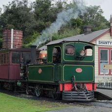
West Coast Historical and Mechanical Society
8.9 km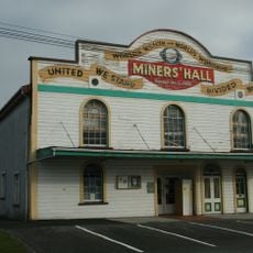
Runanga Miners' Hall
7.3 km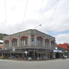
Hannah's Buildings
985 m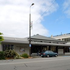
Grey District Library
932 m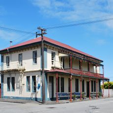
Neptune Backpackers
1.1 km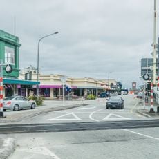
Greymouth CBD Historic Area
872 m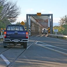
Taramakau road-rail bridge - New Zealand
12.8 km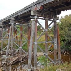
Railway Beam Bridge
5.2 km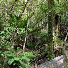
Point Elizabeth Walkway
7.7 km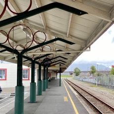
Greymouth Railway Station Historic Area
1.1 km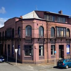
Royal Hotel
1.2 km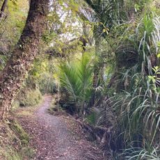
Rapahoe Range Scenic Reserve
5.4 km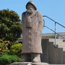
Fisherman statue, Greymouth
1 km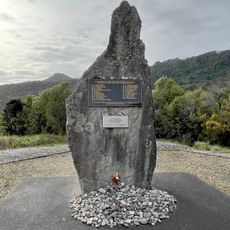
Strongman Mine Memorial
12.6 km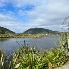
Cobden Aromahana Sanctuary
2 km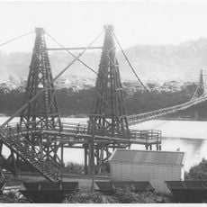
Taylorville bridge
9.4 km
High Street Auto Centre
678 m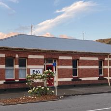
Commercial Building
860 m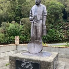
Brunner Mines Historic Area
10 km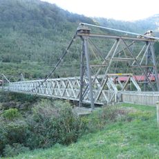
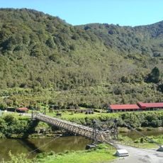
Brunner Bridge
10 km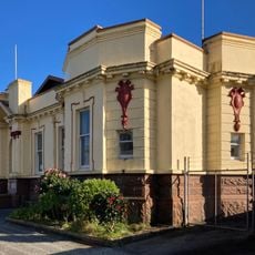
Greymouth Courthouse
895 m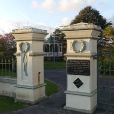
Dixon Park
107 mVisited this place? Tap the stars to rate it and share your experience / photos with the community! Try now! You can cancel it anytime.
Discover hidden gems everywhere you go!
From secret cafés to breathtaking viewpoints, skip the crowded tourist spots and find places that match your style. Our app makes it easy with voice search, smart filtering, route optimization, and insider tips from travelers worldwide. Download now for the complete mobile experience.

A unique approach to discovering new places❞
— Le Figaro
All the places worth exploring❞
— France Info
A tailor-made excursion in just a few clicks❞
— 20 Minutes