
Ahaura Post Office, former post office building in Ahaura, New Zealand
Location: Grey District
Inception: 1894
Address: 3340 Camp Street, Ahaura
GPS coordinates: -42.35008,171.53983
Latest update: May 14, 2025 00:11
Paparoa Track
13.4 km
Brunner Mine
20 km
Runanga Miners' Hall
24.4 km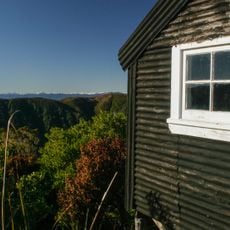
Croesus Track
17.7 km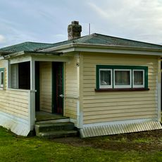
Kotuku Model Bungalow
22.6 km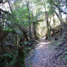
Velenski Walk
25.4 km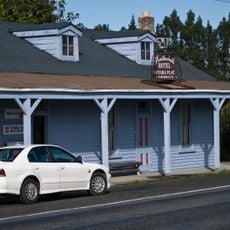
Heatherbell Hotel
7.8 km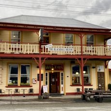
Formerly The Blackball Hilton
10.5 km
Jack's Mill School Historic Area
22.6 km
Point Elizabeth Walkway
26.6 km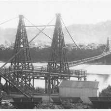
Taylorville bridge
20.7 km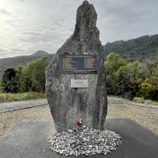
Strongman Mine Memorial
23.4 km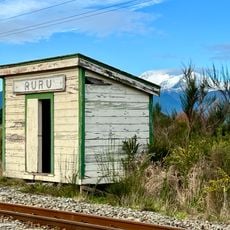
Ruru shelter shed
25.7 km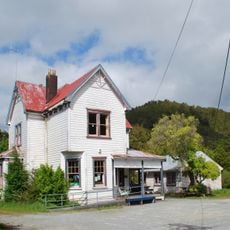
Blackball Community Centre
10.9 km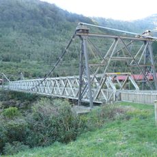
Brunner Bridge
20 km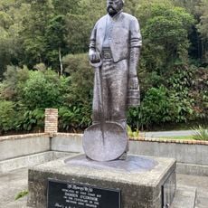
Brunner Mines Historic Area
20 km
Moana Railway Station Historic Area
25.8 km
Blackwater School
21.9 km
Rakaitane Walk
25.3 km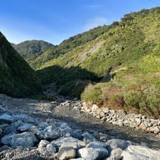
Thirteen Mile Creek
21 km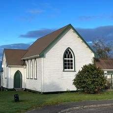
St John's Church
25.6 km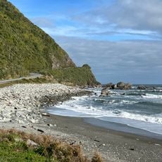
Seventeen Mile Bluff
21.7 km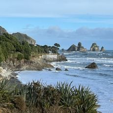
Twelve Mile Bluff
22.6 km
Seven Mile Creek / Waimatuku
18.6 km
Nine Mile Bluff
23 km
Pororari Hut
22.1 km
Ruru Drying Kiln
25.7 km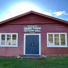
Barrytown Settlers Hall
21.2 kmReviews
Visited this place? Tap the stars to rate it and share your experience / photos with the community! Try now! You can cancel it anytime.
Discover hidden gems everywhere you go!
From secret cafés to breathtaking viewpoints, skip the crowded tourist spots and find places that match your style. Our app makes it easy with voice search, smart filtering, route optimization, and insider tips from travelers worldwide. Download now for the complete mobile experience.

A unique approach to discovering new places❞
— Le Figaro
All the places worth exploring❞
— France Info
A tailor-made excursion in just a few clicks❞
— 20 Minutes