
King's College Main Block, 41 Golf Avenue; Mangere Road; Hospital Road, King's College, Otahuhu, AUCKLAND
Location: Auckland Region
Address: 41 Golf Avenue; Mangere Road; Hospital Road, King's College, Otahuhu, Auckland
GPS coordinates: -36.95863,174.83820
Latest update: March 14, 2025 10:20
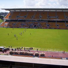
Mount Smart Stadium
5 km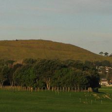
Māngere Mountain
5 km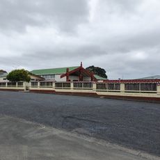
Te Puea Memorial Marae
4.5 km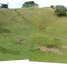
Ōtāhuhu / Mount Richmond
3 km
Shri Swaminarayan Mandir, Auckland
2.6 km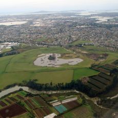
Crater Hill
3.3 km
Mutukaroa / Hamlins Hill Regional Park
4.3 km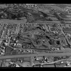
McLennan Hills
3.4 km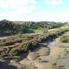
Waikaraka Cycleway
4.6 km
Hampton Park
5.2 km
Pūkaki Creek
5 km
Harania Creek
2.1 km
Tāmaki Bridge
1.1 km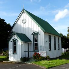
Mangere Presbyterian Church
4.4 km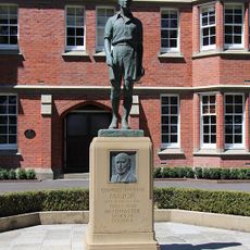
Charles Thomas Major Statue
22 m
David Lange Memorial
1.6 km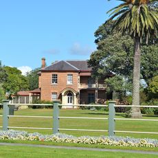
Franklynne
1.3 km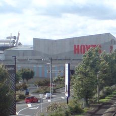
Hoyts Sylvia Park
5 km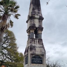
Nixon Monument
1.1 km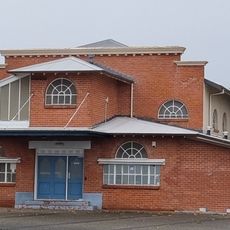
Mangere East Hall
1.4 km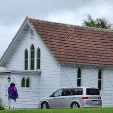
St Mary's Home Chapel
940 m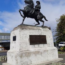
Ōtahuhu World War One Memorial
1.2 km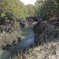
Anns Creek
3.5 km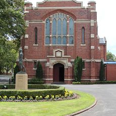
King's College Chapel
45 m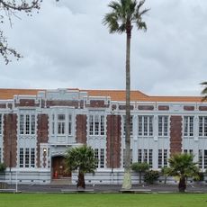
Otahuhu College Main Block
632 m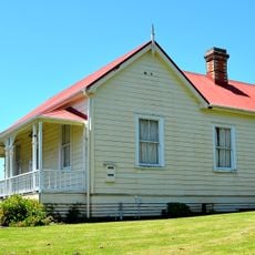
Mangere Schoolhouse
4.3 km
Tararata Creek
3.6 km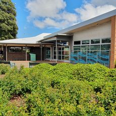
Māngere Bridge Library
5 kmReviews
Visited this place? Tap the stars to rate it and share your experience / photos with the community! Try now! You can cancel it anytime.
Discover hidden gems everywhere you go!
From secret cafés to breathtaking viewpoints, skip the crowded tourist spots and find places that match your style. Our app makes it easy with voice search, smart filtering, route optimization, and insider tips from travelers worldwide. Download now for the complete mobile experience.

A unique approach to discovering new places❞
— Le Figaro
All the places worth exploring❞
— France Info
A tailor-made excursion in just a few clicks❞
— 20 Minutes