
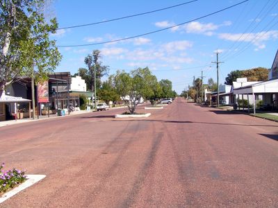
Isisford, town in Queensland, Australia
Location: Longreach Regional
GPS coordinates: -24.25900,144.43974
Latest update: April 18, 2025 06:16
Tree of Knowledge
116.9 km
Qantas Founders Outback Museum
92.8 km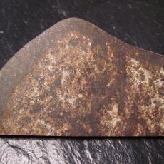
Tenham meteorite
222.5 km
Idalia National Park
79.6 km
Welford National Park
125.1 km
Australian Stockmans Hall of Fame
92.2 km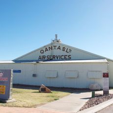
Qantas Hangar, Longreach
92.8 km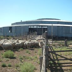
Isis Downs Woolshed
19.6 km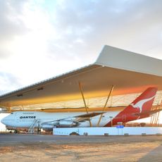
Qantas Founders Museum
92.8 km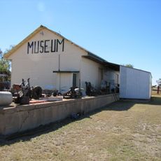
Aramac Tramway Museum
164.9 km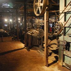
Blackall Woolscour
107.4 km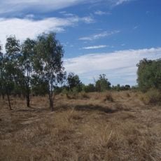
Shearers' Strike Camp Site, Barcaldine
121.3 km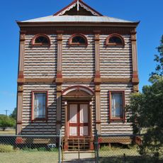
Barcaldine Masonic Temple
116.5 km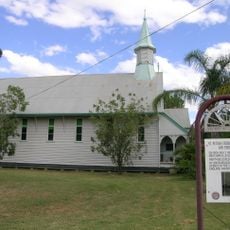
St Peter's Anglican Church, Barcaldine
116.5 km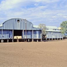
Darr River Downs
158.7 km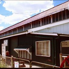
Longreach Powerhouse
93.2 km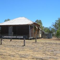
Langenbaker House
85.7 km
Barcaldine Shire Hall
116.7 km
Blackall Masonic Temple
105.9 km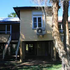
Aramac State School
164.8 km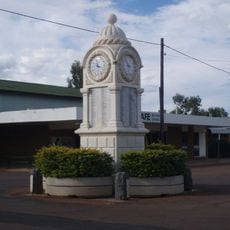
Barcaldine War Memorial Clock
116.7 km
Welford Homestead
137.6 km
Beaconsfield Station Sheep Wash
104.5 km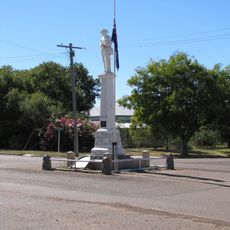
Aramac War Memorial
165.2 km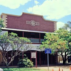
Longreach Ambulance Centre
93.3 km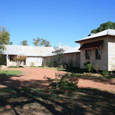
Old Isisford District Hospital
235 m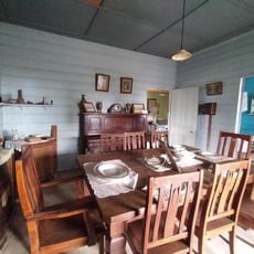
Longreach Powerhouse and Historical Museum
93.2 km
McMaster Machinery Shed - Ilfracombe Machinery and Heritage Museum
86 kmReviews
Visited this place? Tap the stars to rate it and share your experience / photos with the community! Try now! You can cancel it anytime.
Discover hidden gems everywhere you go!
From secret cafés to breathtaking viewpoints, skip the crowded tourist spots and find places that match your style. Our app makes it easy with voice search, smart filtering, route optimization, and insider tips from travelers worldwide. Download now for the complete mobile experience.

A unique approach to discovering new places❞
— Le Figaro
All the places worth exploring❞
— France Info
A tailor-made excursion in just a few clicks❞
— 20 Minutes