Acatenango

Log in to your account

AroundUs is a community-driven map of interesting places, built by curious explorers like you. It grows with every review, story, and photo you share.
Connect to save your favorite spots, contribute locations, and create personalized routes.
By continuing, you accept our Terms and Conditions and our Privacy Policy
Add to collection
Map
Suggest a change
Share

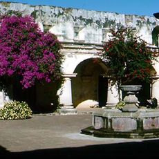
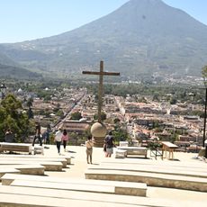
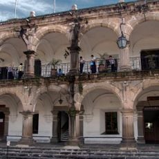
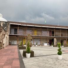
Acatenango, Dormant volcano near Antigua, Guatemala

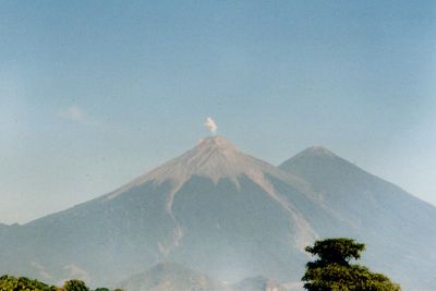
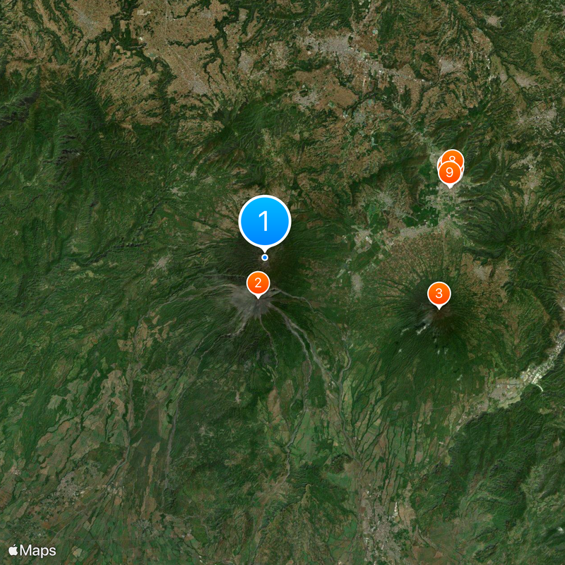
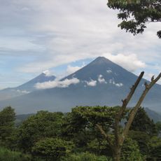
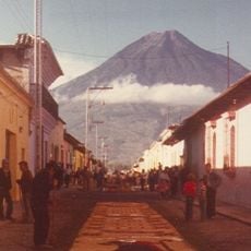
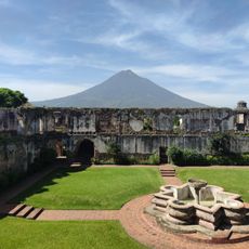
Acatenango is a dormant volcano near Antigua in Guatemala, rising to 3976 meters (13 045 feet) with two peaks called Pico Mayor and Yepocapa. These summits form a continuous volcanic massif together with the active neighbor Fuego, marked by deep ravines and wide ash fields.

The volcano formed thousands of years ago and shaped the surrounding highlands through repeated eruptions. Its last activity occurred in December 1972, following earlier episodes between 1924 and 1927 when it released smoke and ash.

Hikers pass through villages where people grow corn on the slopes using methods passed down through generations. Indigenous communities call the mountain by another name and consider it a sacred place where the earth still breathes.

The climb takes between five and nine hours and requires warm clothing, as temperatures at the summit can drop to minus five degrees Celsius (23 degrees Fahrenheit). Most hikers start before dawn or stay overnight in basic camps halfway up to continue the next morning.

Those who spend the night on the mountain see Fuego throwing lava into the sky every 15 to 20 minutes. The sound of explosions reaches the camp and makes the air vibrate, while red sparks dance in the darkness.

Elevation above the sea: 3,976 m

GPS coordinates: 14.50304,-90.87536

Latest update: December 5, 2025 22:25

Photos
Photo spots in Guatemala

Guatemala offers photographers a mix of pre-Columbian sites, volcanic landscapes, and colonial buildings. The geography ranges from highland towns to rainforests and coastal areas along the Pacific and Caribbean. Ancient Maya temples stand alongside Spanish-era churches, while indigenous markets and...

Photo locations in Guatemala

Guatemala contains several photographic subjects within its borders. Maya ruins such as Tikal, Yaxha and Quiriguá stand in the tropical forests of Petén and Izabal. Colonial architecture appears in Antigua Guatemala, where the Santa Catalina Arch and painted facades line cobblestone streets. Lake...

Reviews

Visited this place? Tap the stars to rate it and share your experience / photos with the community! Try now! You can cancel it anytime.

« Acatenango - Dormant volcano near Antigua, Guatemala » is provided by Around Us (aroundus.com). Images and texts are derived from Wikimedia project under a Creative Commons license. You are allowed to copy, distribute, and modify copies of this page, under the conditions set by the license, as long as this note is clearly visible.

Discover hidden gems everywhere you go!

From secret cafés to breathtaking viewpoints, skip the crowded tourist spots and find places that match your style. Our app makes it easy with voice search, smart filtering, route optimization, and insider tips from travelers worldwide. Download now for the complete mobile experience.

Around Us App Screenshot

A unique approach to discovering new places

Le Figaro

All the places worth exploring

France Info

A tailor-made excursion in just a few clicks

20 Minutes