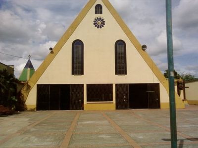
Granada, Municipal center in Meta, Colombia
Granada is an administrative center in Meta department with varied terrain ranging from flat areas to gently rolling zones. The town functions as a local hub for government, commerce, and services for the surrounding communities in the Orinoquia region.
The settlement began as Boquemonte and gained official municipal status in 1953 during a major wave of migration. This 1950s period marked the growth of settlements in the Orinoquia region as people moved from the Andes to the eastern lowlands.
The name Granada comes from the pomegranate symbol on the municipal coat of arms, representing fertility and farming tradition in the region. Visitors notice this connection in local products and how residents maintain close ties to agriculture and the land.
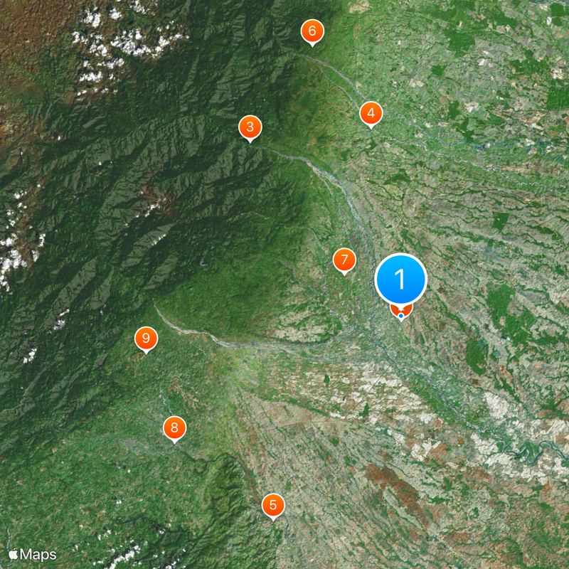
The town connects to Bogotá through a road network and offers regular transportation to Villavicencio in the region. Visitors should expect tropical weather and occasional rainfall, especially during certain seasons.
The municipal shield displays two crossed axes, a white dove, an open pomegranate, and intertwined hands, each representing different aspects of local history. These symbols together tell the story of settlement, peace, and mutual respect between newcomers and established inhabitants.
Location: Meta Department
Inception: December 4, 1940
Elevation above the sea: 372 m
Website: http://granada-meta.gov.co
GPS coordinates: 3.54722,-73.70861
Latest update: December 7, 2025 10:00
Sumapaz Paramo
106.1 km
Chingaza National Natural Park
111.6 km
Estadio Bello Horizonte - Rey Pelé
66.6 km
Guadalupe Hill
122.4 km
General Archive of the Nation
123.5 km
Sumapaz Natural Park
106.1 km
Iglesia de San Agustín, Bogotá
123.6 km
Bioparque Los Ocarros
71.9 km
Parque Metropolitano El Tunal
123.7 km
Colombian Military Museum
123.6 km
Tinigua National Natural Park
124.2 km
Our Lady of Mount Carmel Cathedral, Villavicencio
67.8 km
Iglesia de Nuestra Señora de Egipto
123.1 km
Parque Metropolitano Bosque de San Carlos
122.3 km
Camarín del Carmen
123.5 km
Museo de Arte Banco de la República
123.6 km
Archeological Museum of Pasca
107.2 km
Fundación Gilberto Alzate Avendaño
123.5 km
Iglesia de Nuestra Señora del Carmen, Bogot
123.5 km
Parque Usme Pueblo
112.9 km
Lac Chisaca
106.6 km
Cascada La Chorrera
120.2 km
Parque Nacional Natural Sierra de La Macarena
102.8 km
Museo de la Ciudad Autoconstruida
122.4 km
Museum "The Blessed Chichería" Traditional Ancestral
123.6 km
Sierra de la Macarena National Nature Park
89.5 km
Gaitan Cortes Park
120.2 km
Cathedral of Our Lady of Mount Carmel, Granada, Meta
629 mVisited this place? Tap the stars to rate it and share your experience / photos with the community! Try now! You can cancel it anytime.
Discover hidden gems everywhere you go!
From secret cafés to breathtaking viewpoints, skip the crowded tourist spots and find places that match your style. Our app makes it easy with voice search, smart filtering, route optimization, and insider tips from travelers worldwide. Download now for the complete mobile experience.
A unique approach to discovering new places❞
— Le Figaro
All the places worth exploring❞
— France Info
A tailor-made excursion in just a few clicks❞
— 20 Minutes