Geography of Colombia, Geographical regions in South America.
The geography of Colombia covers five main regions in South America: the Andes mountain range with three parallel chains, the Pacific and Caribbean coasts, the eastern Llanos plains, and the southern portion of the Amazon rainforest. This layout determines landscape, climate and vegetation, from tropical lowlands to high mountain passes above 13000 feet (4000 meters).
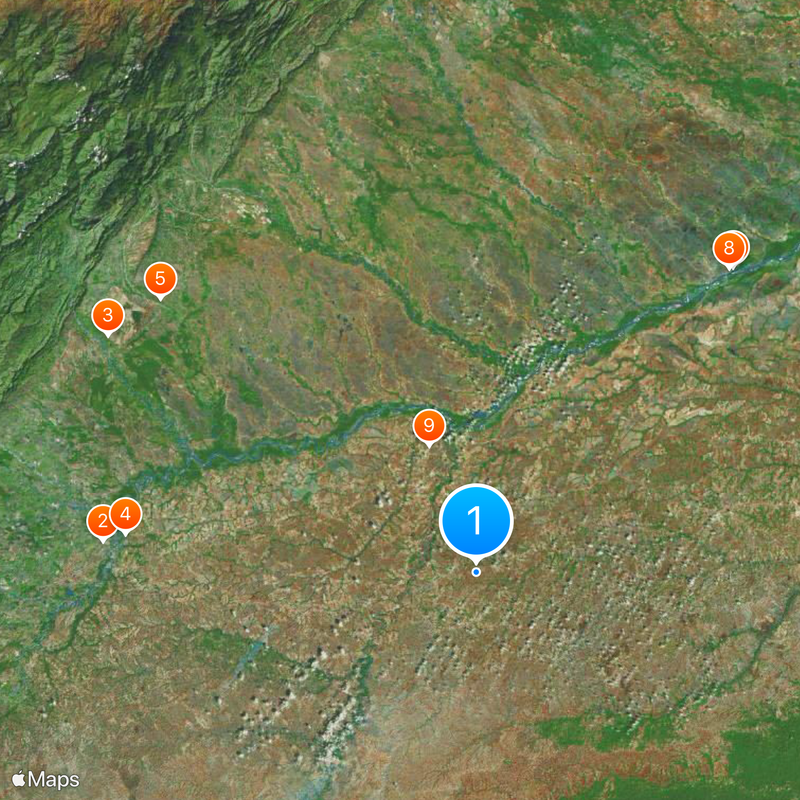
The three branches of the Colombian Andes formed through tectonic movements around 100 million years ago and created valleys that later hosted settlements. The boundary between mountain zones and lowlands influenced trade routes and connections between regions over centuries.
The names of the three mountain ranges – Cordillera Occidental, Central and Oriental – describe their geographical position and help travelers navigate the country. This structure shapes daily life, as each region supports different climate zones and growing conditions for coffee, fruit or livestock farming.
The country links two major shipping routes through its Pacific and Caribbean ports, supporting trade between South America and both oceans. Travelers notice clear temperature and humidity changes when moving between coast, highlands and lowlands within a few hours of travel.
The country hosts 311 different ecosystem types, from páramo moorlands around 13000 feet (4000 meters) to tropical rainforest at sea level. This variety can be experienced within a short distance, as mountain roads cross several climate zones in a single day of travel.
The community of curious travelers
AroundUs brings together thousands of curated places, local tips, and hidden gems, enriched daily by 60,000 contributors worldwide.