Mariquita, Colonial municipality in Tolima Department, Colombia
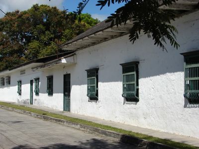
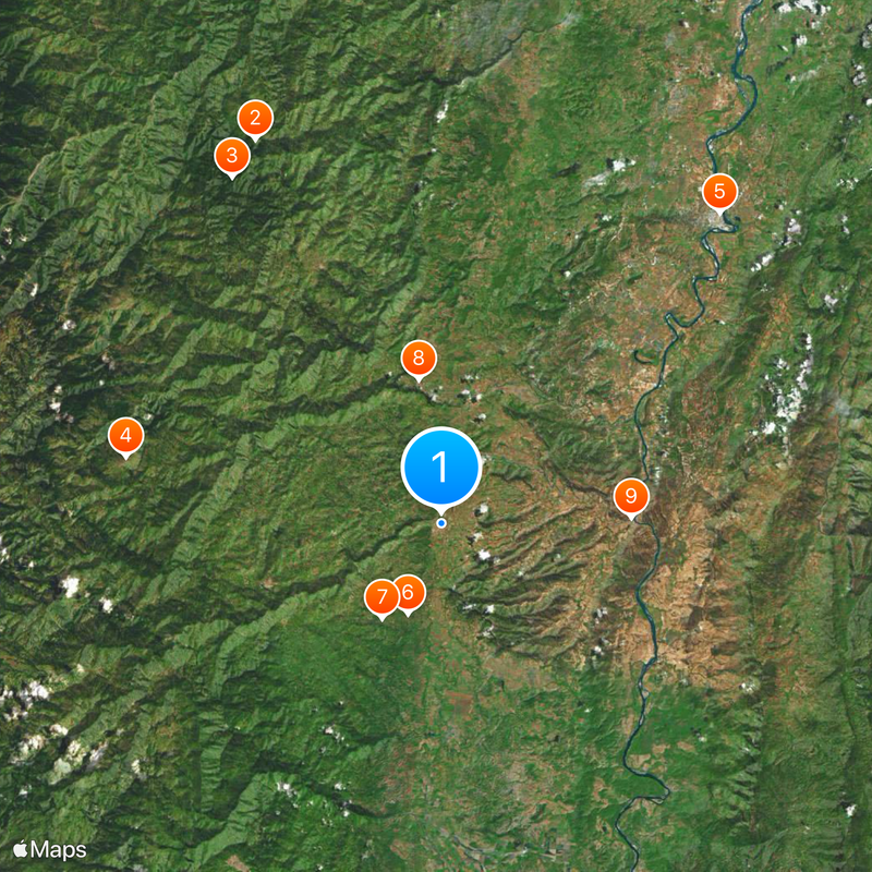
Mariquita is a town in the northern Andes of Colombia situated at moderate elevation in a region of rolling terrain and farmland. The settlement features a traditional layout with a central plaza, residential streets, and agricultural areas extending into the surrounding countryside.
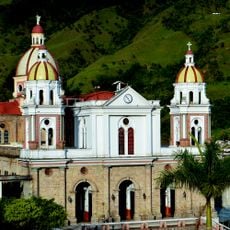
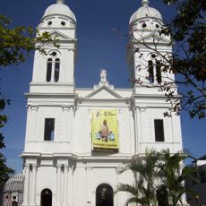
The settlement was established in 1551 as a Spanish colonial outpost, with its location near major river routes playing a key role in its development. This advantageous position made it one of the early administrative centers during the conquest period.
The town maintains strong ties to agricultural traditions, with local farmers and artisans actively shaping daily commerce and community gatherings. These practices reflect the rhythm of rural Andean life and how residents connect to their land.
The town is accessible by road and provides basic services including simple lodging and food options for visitors. Those exploring the rural surroundings should wear sturdy footwear and prepare for unpaved paths and variable terrain.
The Spanish conquistador Gonzalo Jiménez de Quesada, a major figure in early colonization, was initially buried here before his remains were transferred to Bogotá. This fact reflects how the town played a role in early colonial history.
The community of curious travelers
AroundUs brings together thousands of curated places, local tips, and hidden gems, enriched daily by 60,000 contributors worldwide.