·

Enable Location

We need your location to show you interesting places around you

Discover nearby places

Find interesting locations and hidden gems around you

Precise directions

Get accurate directions and distances to places

Your location is never shared with other users. It's only used when you tap the location button.

Cachipay, Cundinamarca

Log in to your account

Start exploring — it's free

Trusted by 62,658 travelers worldwide

Continue with Google
Continue with Apple
or

We will send you a code to connect

By continuing, you accept our Terms and Conditions and our Privacy Policy

Check your inbox

We've sent a pincode in your inbox. Please enter the code below.

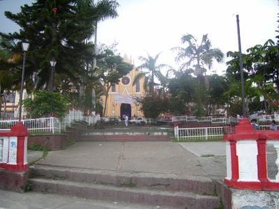
Cachipay, Cundinamarca, Municipality in Tequendama Province, Colombia

Cachipay is a municipality in Tequendama Province, Cundinamarca, situated at roughly 1,600 meters (5,250 feet) above sea level. The territory covers around 56 square kilometers (22 square miles) and sits approximately 58 kilometers (36 miles) west of Bogotá.

The area was originally inhabited by the Panche people before Spanish conquistadors arrived in the region. A major confrontation occurred in 1538 near Tocarema, where Spanish and Muisca forces engaged indigenous defenders.

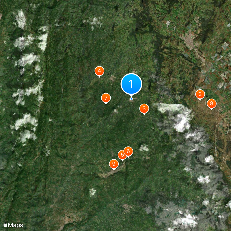
The municipality is organized around rural settlements known as veredas, where residents practice traditional farming and maintain strong ties to agricultural life. These communities form the backbone of daily life and shape how people experience the region.

The municipality is best explored by driving through rural roads that connect the different settlements and farming areas. Visitors should expect hilly terrain and prepare for cooler mountain weather typical of this altitude.

Archaeological digs in the Tocarema district uncovered pottery from around 750 BCE, revealing a remarkably long human presence in the area. These findings demonstrate that people have lived and worked on this land for over 2,700 years.

The community of curious travelers

AroundUs brings together thousands of curated places, local tips, and hidden gems, enriched daily by 60,000 contributors worldwide.

Start exploring
Inception
November 26, 1982
Elevation above the sea
1,600 m
GPS coordinates
4.73136,-74.43650
Latest update
December 20, 2025 14:10
« Cachipay, Cundinamarca - Municipality in Tequendama Province, Colombia » is provided by Around Us (aroundus.com). Images and texts are derived from Wikimedia project under a Creative Commons license. You are allowed to copy, distribute, and modify copies of this page, under the conditions set by the license, as long as this note is clearly visible.

Discover hidden gems everywhere you go!

From secret cafés to breathtaking viewpoints, skip the crowded tourist spots and find places that match your style. Our app makes it easy with voice search, smart filtering, route optimization, and insider tips from travelers worldwide. Download now for the complete mobile experience.

Around Us App Screenshot

A unique approach to discovering new places

Le Figaro

All the places worth exploring

France Info

A tailor-made excursion in just a few clicks

20 Minutes

Around Us
Travel Guide & Maps
Download

Send to your phone

QR Code
1

Open the camera app on your mobile.

2

Point at the QR code with your camera. A notification will appear.

3

Tap the notification to open the link.