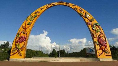
Puerto Gaitán, Municipality in Meta Department, Colombia
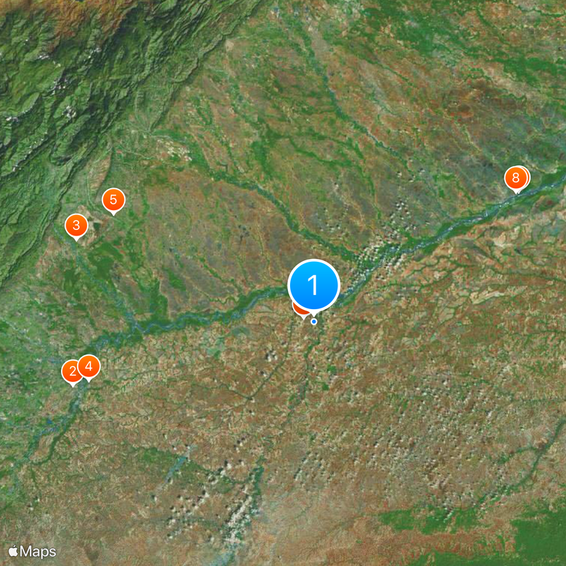
Puerto Gaitán is a municipality in Meta that covers a vast territory crossed by several rivers including Manacacías, Meta, Yucao, and Planas. The area consists of flatlands shaped by these waterways that flow through the region.
The settlement was founded in 1932 by Venezuelan merchants who established themselves near the Manacacías River and initially named the area Majaguillal. It received its current name in 1969.
The municipality thrives on ranching and farming, with cattle and horses visible across open pastures that define the local landscape. Daily life centers on agricultural work and the traditions of rural communities that have shaped the region for generations.
The municipal headquarters is located on Calle 10 number 10-60 and serves as the administrative hub for local residents and visitors seeking information. The flat terrain with river valleys means the drier season offers better conditions for travel and exploration.
The area is notable for significant oil reserves that have shaped regional economic development in recent decades. Few visitors realize how much the energy industry influences the landscape and infrastructure they see.
Location: Meta Department
Elevation above the sea: 144 m
Website: http://puertogaitan-meta.gov.co
GPS coordinates: 4.31417,-72.08250
Latest update: December 7, 2025 09:26
Puente de Boyacá
195.8 km
Chingaza National Natural Park
181.4 km
Estadio Bello Horizonte - Rey Pelé
171.7 km
Playa Blanca
165.5 km
Vargas Swamp Lancers
192.9 km
Pisba National Natural Park
183.6 km
The Hub on Causeway
244.8 km
Hunzahúa Well
196.7 km
Guavio Reservoir
163.8 km
Embalse de Chivor
155.2 km
Bioparque Los Ocarros
170 km
Ocetá Páramo
174.6 km
Cathedral Basilica of St. James the Apostle, Tunja
196.3 km
Sochagota Lake
198.4 km
Sun Temple
181.2 km
Plaza de Bolívar
196.3 km
Archaeology Museum
181.2 km
Morcá
180.5 km
Our Lady of Mount Carmel Cathedral, Villavicencio
173.7 km
Páramo de Guacheneque
185.1 km
Embalse de La Copa
190.1 km
Paredón de los Mártires
196.1 km
St. Lawrence Cathedral, Duitama
198.8 km
Iglesia de Firavitoba
181.4 km
Santiago de las Atalayas Stadium
120.9 km
La Esmeralda Dam
149.7 km
Natural Reserve "Old Pueblito"
169.7 km
Plaza de Toros La Pradera
183.4 kmVisited this place? Tap the stars to rate it and share your experience / photos with the community! Try now! You can cancel it anytime.
Discover hidden gems everywhere you go!
From secret cafés to breathtaking viewpoints, skip the crowded tourist spots and find places that match your style. Our app makes it easy with voice search, smart filtering, route optimization, and insider tips from travelers worldwide. Download now for the complete mobile experience.
A unique approach to discovering new places❞
— Le Figaro
All the places worth exploring❞
— France Info
A tailor-made excursion in just a few clicks❞
— 20 Minutes