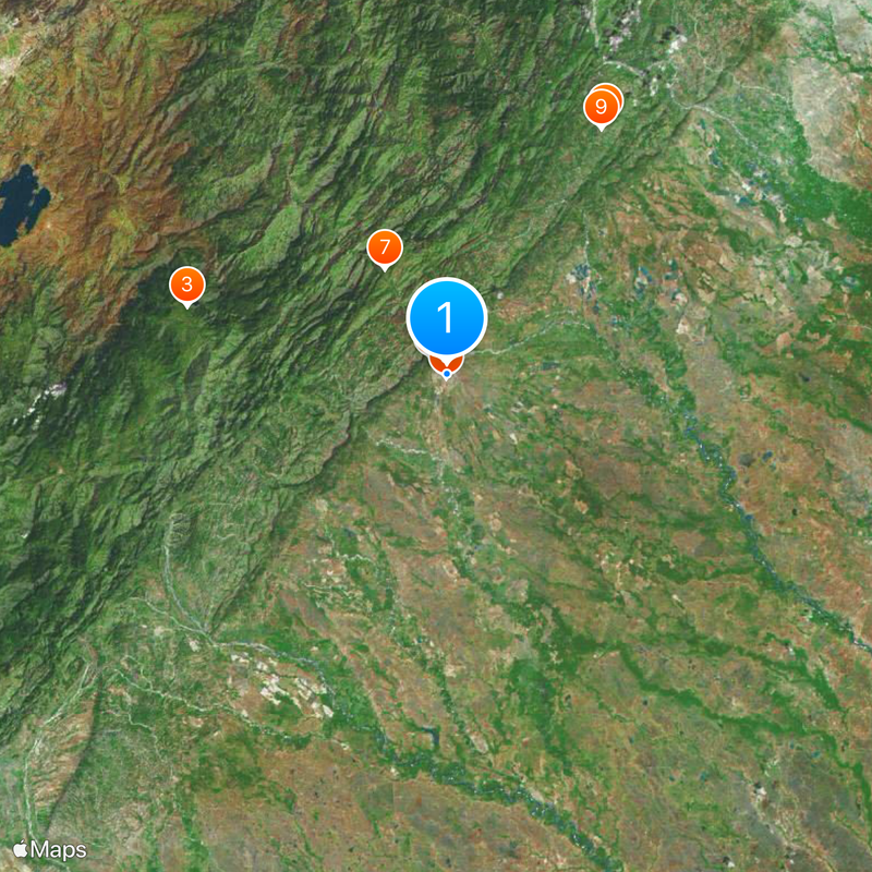
Yopal, Administrative center in Casanare, Colombia
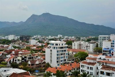
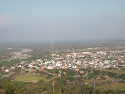
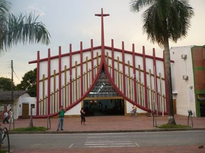
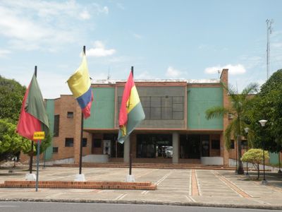
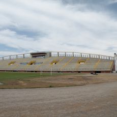
Yopal is an administrative city in the Casanare department of eastern Colombia, located at the western edge of the Llanos plains. The city serves as a regional center with government buildings, commercial districts, and residential areas spread across a flat terrain under a tropical climate.
The settlement was founded in 1935 by Pedro Pablo González as a small center in the Llanos. In 1974 it became the capital of the newly formed Casanare department.
The name comes from an indigenous term for a type of palm tree that grows in the region. Visitors today see wide streets and large plazas shaped by the oil economy, where commercial shops mix with restaurants and small stores.
El Alcaraván Airport offers connections to larger Colombian cities and makes arrival easier. Road links lead to Sogamoso and other regions of the Cordillera Oriental, and travelers should expect tropical heat and occasional rain.
Since the mid-1990s the economy shifted strongly through the petroleum sector, leading to rapid population growth. Cattle raising was once the main source of income, while today oil extraction and services shape the cityscape.
Location: Casanare Department
Inception: 1915
Elevation above the sea: 350 m
Shares border with: Nunchía, San Luis de Palenque, Orocué, Aguazul, Maní
Website: http://yopal-casanare.gov.co
GPS coordinates: 5.33056,-72.39056
Latest update: December 4, 2025 23:04
Playa Blanca
66.9 km
Vargas Swamp Lancers
88.3 km
Cárcel de Cómbita
104.4 km
Pisba National Natural Park
65.4 km
Hunzahúa Well
110.5 km
Embalse de Chivor
112.1 km
Ocetá Páramo
61.9 km
Cathedral Basilica of St. James the Apostle, Tunja
109.9 km
Sochagota Lake
94.2 km
Sun Temple
72.6 km
Plaza de Bolívar
109.9 km
Archaeology Museum
72.6 km
La pila del mono
110.5 km
Morcá
70.9 km
Embalse de La Copa
94.6 km
Paredón de los Mártires
110.1 km
Cojines del Zaque
110.5 km
Iglesia de Santo Domingo (Tunja)
110.7 km
St. Lawrence Cathedral, Duitama
90.3 km
Iglesia de Firavitoba
76.5 km
Monumento a la Raza Indígena
110.5 km
Santiago de las Atalayas Stadium
3.1 km
Plaza Real de Tunja
110.5 km
La Esmeralda Dam
111.3 km
Claustro de San Agustín (Tunja)
110.7 km
Bosque de la República
110.5 km
Palacio de la Torre
110.5 km
Columna a los mártires
110.5 kmReviews
Visited this place? Tap the stars to rate it and share your experience / photos with the community! Try now! You can cancel it anytime.
Discover hidden gems everywhere you go!
From secret cafés to breathtaking viewpoints, skip the crowded tourist spots and find places that match your style. Our app makes it easy with voice search, smart filtering, route optimization, and insider tips from travelers worldwide. Download now for the complete mobile experience.
A unique approach to discovering new places❞
— Le Figaro
All the places worth exploring❞
— France Info
A tailor-made excursion in just a few clicks❞
— 20 Minutes