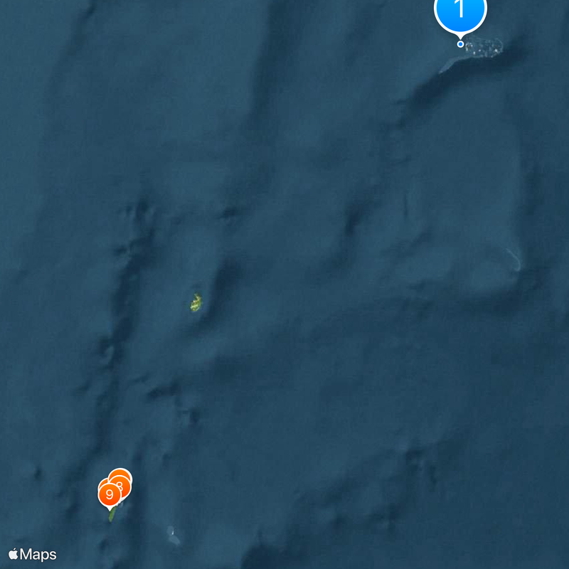
Archipelago of San Andrés, Providencia and Santa Catalina, Caribbean island department in western Caribbean Sea, Colombia
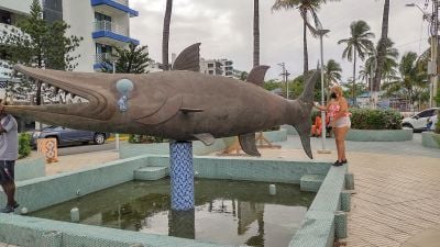
The Archipelago of San Andrés, Providencia and Santa Catalina is an island group in the western Caribbean Sea belonging to Colombia, formed by three inhabited main islands. The landscape shifts between flat coastal strips lined with coconut palms and gentle hills covered in dense tropical vegetation.
English Puritans founded a settlement on Providence Island in 1630 and established plantations before Spanish troops took control in 1641. Ownership shifted several times between England and Spain until Colombia assumed control permanently in the 19th century.
The Raizal community speaks a creole dialect blending English and African roots, heard in everyday conversation across the islands. Their music mixes Caribbean rhythms with religious songs performed during festivals and church services.
The main island is reached by plane, while a ferry connects to the smaller islands and can take several hours when the sea is rough. Those traveling between islands should plan extra time and check weather conditions, which sometimes delay crossings.
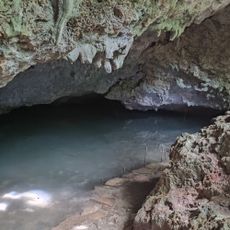
The waters around the islands are part of the Seaflower marine reserve, protecting coral reefs and rare marine life across a wide stretch of the western Caribbean. Divers can see reef formations that developed over centuries and provide habitat for numerous fish species.
The community of curious travelers
AroundUs brings together thousands of curated places, local tips, and hidden gems, enriched daily by 60,000 contributors worldwide.