Soberanía National Park, National park near Panama Canal, Panama.
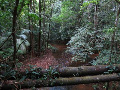
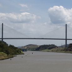
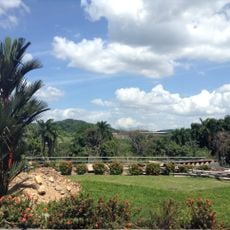
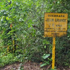
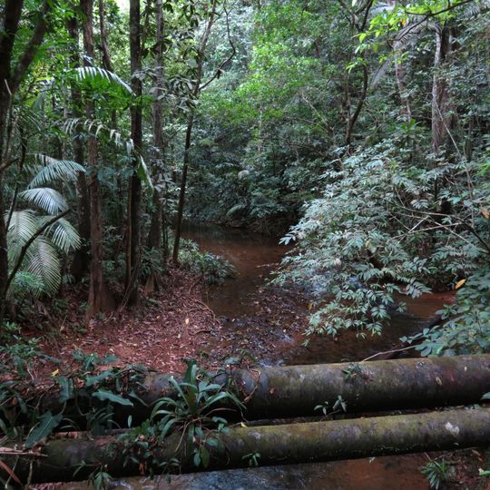
Soberanía National Park stretches along the eastern bank of the Panama Canal across the provinces of Panamá and Colón, covering 19,545 hectares of humid tropical forest. The Chagres River runs through it, and Pipeline Road crosses old-growth and secondary forest for 17.5 km. Fallen yellow blossoms and broad brown leaves cover the shaded ground, and mossy logs lie across a narrow stream of dark, reddish-brown water.
The area served as a major trade corridor in the 16th century when Spanish merchants used the Las Cruces Trail to move gold across the isthmus. This route connected two oceans and demonstrated the strategic importance of the region for commerce between Europe and the Pacific.
Pipeline Road serves as a gathering place for nature researchers and birders who document the park's avian diversity through regular visits and observations. The trail functions as a working field station where ongoing species surveys and wildlife monitoring take place.
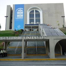
The park can be accessed on foot from several trailheads, with the main entry points reachable by local buses from nearby urban areas. Visitors should prepare for tropical weather, humidity, and varying trail conditions by bringing sturdy footwear and light clothing.
The park's Pipeline Road, 17.5 km long, has hosted the Panama Audubon Society's Christmas bird count for 19 consecutive years, reaching a world record of 525 species counted in a single day in 1996. The threatened crested eagle and red-lored parrots are among the species recorded there.
The community of curious travelers
AroundUs brings together thousands of curated places, local tips, and hidden gems, enriched daily by 94,936 contributors worldwide.