Enable Location

We need your location to show you interesting places around you

Discover nearby places

Find interesting locations and hidden gems around you

Precise directions

Get accurate directions and distances to places

Your location is never shared with other users. It's only used when you tap the location button.

Cuauhtémoc

Log in to your account

Start exploring — it's free

Trusted by 62,127 travelers worldwide

Continue with Google
Continue with Apple
or

We will send you a code to connect

By continuing, you accept our Terms and Conditions and our Privacy Policy

Check your inbox

We've sent a pincode in your inbox. Please enter the code below.

Cuauhtémoc, Central administrative district in Mexico City, Mexico.

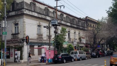
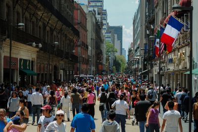
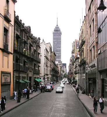
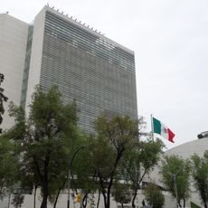
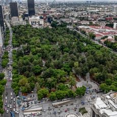
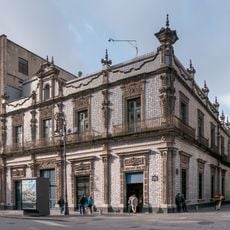
Cuauhtémoc is an administrative district in the center of Mexico City that includes government buildings, commercial areas and residential neighborhoods. The district covers several neighborhoods and forms the administrative and economic heart of the capital.

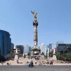
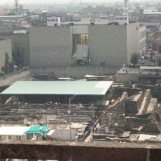
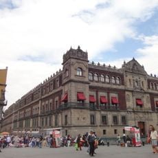
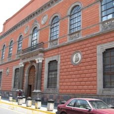
The area matches the old Aztec Tenochtitlan, where Spanish conquerors built their administration after 1521. The current district was officially established in the 20th century and has carried the Aztec ruler's name ever since.

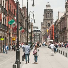
The name honors the last Aztec ruler who resisted Spanish conquest. Today people from across Mexico live here, running shops, markets and restaurants in residential neighborhoods that surround the historic plazas.

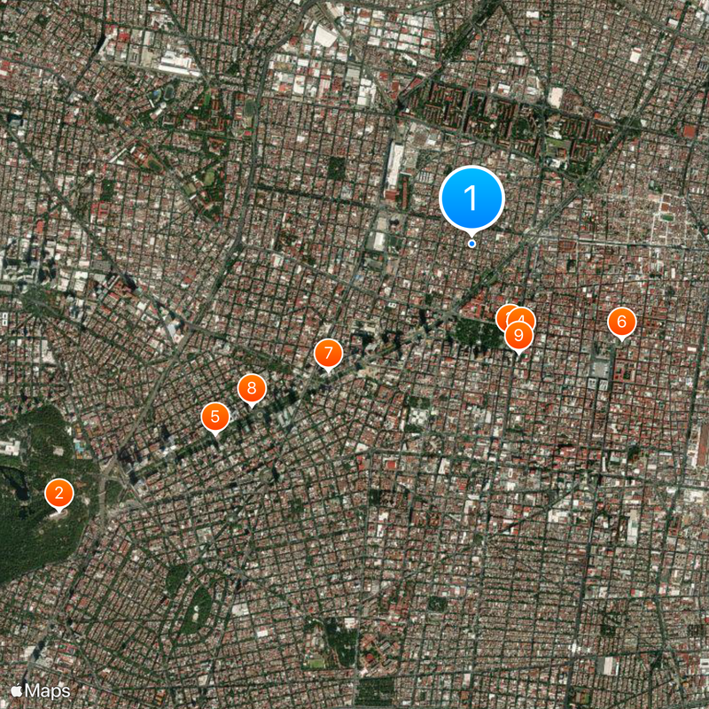
Several metro lines cross the district and connect it with all parts of the city. Most public transport runs until late evening, making it easy for visitors to move around.

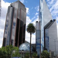
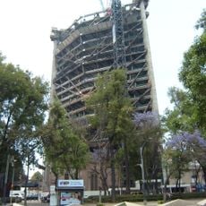
The district produces one third of the capital's total economic output through its dense concentration of businesses and offices. This economic role makes it the most important financial center in the metropolis.

The community of curious travelers

AroundUs brings together thousands of curated places, local tips, and hidden gems, enriched daily by 60,000 contributors worldwide.

Start exploring
Location
Inception
December 29, 1970
Capital city
Colonia Buenavista
Elevation above the sea
2,244 m
Address
Cuauhtémoc, Mexico City, CDMX, Mexico
GPS coordinates
19.44306,-99.14472
Latest update
December 13, 2025 17:52
« Cuauhtémoc - Central administrative district in Mexico City, Mexico » is provided by Around Us (aroundus.com). Images and texts are derived from Wikimedia project under a Creative Commons license. You are allowed to copy, distribute, and modify copies of this page, under the conditions set by the license, as long as this note is clearly visible.

Discover hidden gems everywhere you go!

From secret cafés to breathtaking viewpoints, skip the crowded tourist spots and find places that match your style. Our app makes it easy with voice search, smart filtering, route optimization, and insider tips from travelers worldwide. Download now for the complete mobile experience.

Around Us App Screenshot

A unique approach to discovering new places

Le Figaro

All the places worth exploring

France Info

A tailor-made excursion in just a few clicks

20 Minutes

Around Us
Travel Guide & Maps
Download

Send to your phone

QR Code
1

Open the camera app on your mobile.

2

Point at the QR code with your camera. A notification will appear.

3

Tap the notification to open the link.