Boucher Rapids
Location: Coconino County
GPS coordinates: 36.11639,-112.23000
Latest update: November 21, 2025 10:59
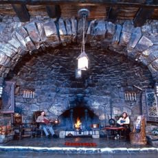
Hermit's Rest
6.3 km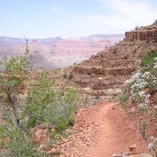
Hermit Trail
6.4 km
Boucher Trail
6.3 km
Dripping Springs Trail
6.8 km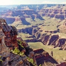
Osiris Temple
5 km
Horus Temple
4.8 km
Waldron Trail
4.4 km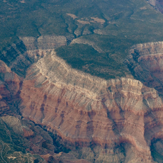
Hermit Canyon
5.6 km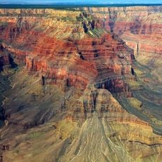
Topaz Canyon
1.3 km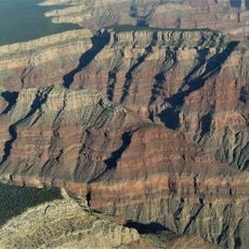
Cocopa Point
3.5 km
Mescalero Point
5.6 km
Hermit Road
6.3 km
Cathedral Stairs
4.8 km
Pima Point
5.6 km
Agate Rapids
5.4 km
Cocopa Point
3.5 km
Columbus Point
3.8 km
Lookout Point
4.9 km
Claude Birdseye Point
6.7 km
Breezy Point
4.7 km
Crystal Rapids
2.7 km
Yuma Point
4.1 km
The Alligator
6.9 km
Mimbreno Point
5.6 km
Pima Point
5.6 km
Pima point
6.1 km
Hermits Rest Viewpoint
6.4 km
Scenic viewpoint
6.8 kmReviews
Visited this place? Tap the stars to rate it and share your experience / photos with the community! Try now! You can cancel it anytime.
Discover hidden gems everywhere you go!
From secret cafés to breathtaking viewpoints, skip the crowded tourist spots and find places that match your style. Our app makes it easy with voice search, smart filtering, route optimization, and insider tips from travelers worldwide. Download now for the complete mobile experience.

A unique approach to discovering new places❞
— Le Figaro
All the places worth exploring❞
— France Info
A tailor-made excursion in just a few clicks❞
— 20 Minutes