Zion – Mount Carmel Highway
Zion – Mount Carmel Highway, highway in Washington and Kane counties in Utah, United States
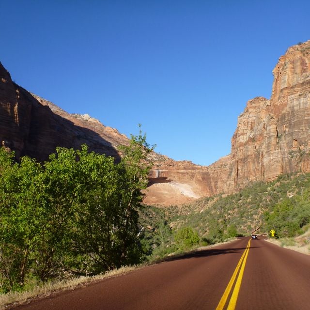
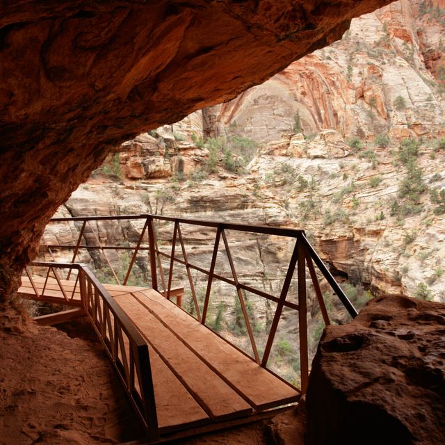
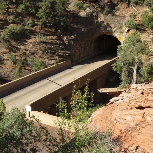
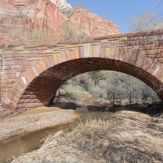
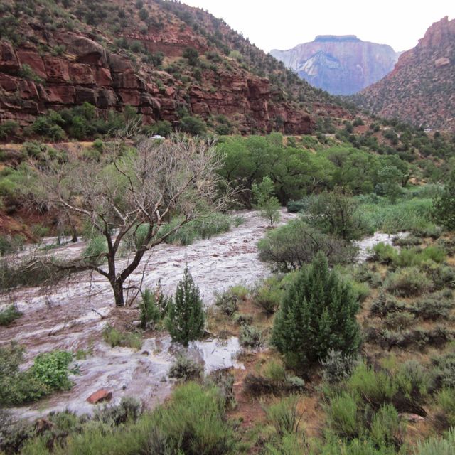
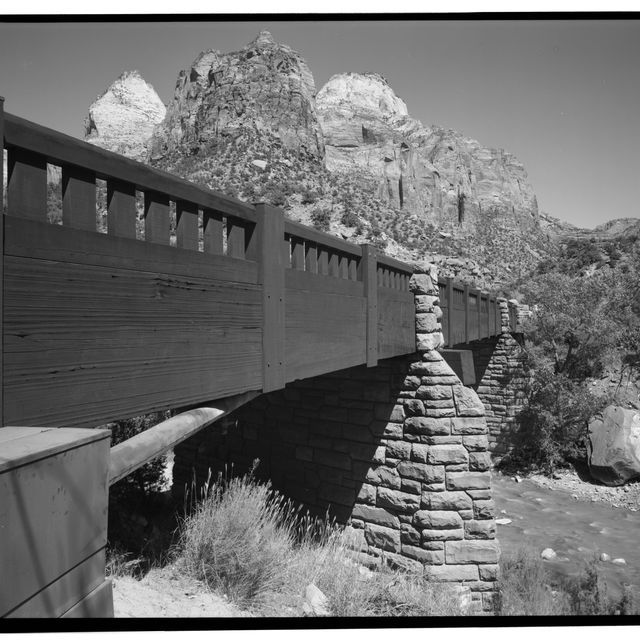
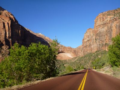
Zion – Mount Carmel Highway is an iconic 25-mile long road located in Washington and Kane counties in southern Utah, United States. This historic highway is listed on the National Register of Historic Places and is also a National Historic Civil Engineering Landmark. Starting from the northeast of Springdale, the highway goes east and passes through Zion National Park. It is here, at the Zion-Mount Carmel Tunnel, that travelers can experience the breathtaking 1.1-mile long tunnel. Upon exiting Zion National Park, the road continues east to the U.S. Route 89 at Mount Carmel Junction. This highway, in particular, became the part of the esteemed ‘loop tour’ involving nearby sites like Bryce Canyon National Park, Cedar Breaks National Monument and Grand Canyon National Park’s North Rim. The Zion – Mount Carmel Highway was surveyed in 1923 by B.J. Finch from the US Bureau of Public Roads, along with Howard C. Means from the Utah state engineer, and John Winder from a local ranch. National Park Service evaluated potential routes, including one that spanned through Parunuweap Canyon, but zeroed in on the Pine Creek route that had the Great Arch Tunnel. Finally, the Bureau of Public Roads took the charge of the detailed design work of the highway and the National Park Service Branch of Plans and Design supervised Thomas Chalmers Vint to take care of elements like bridges, retaining walls, culverts and other features.
Location: Washington County
Location: Kane County
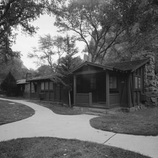
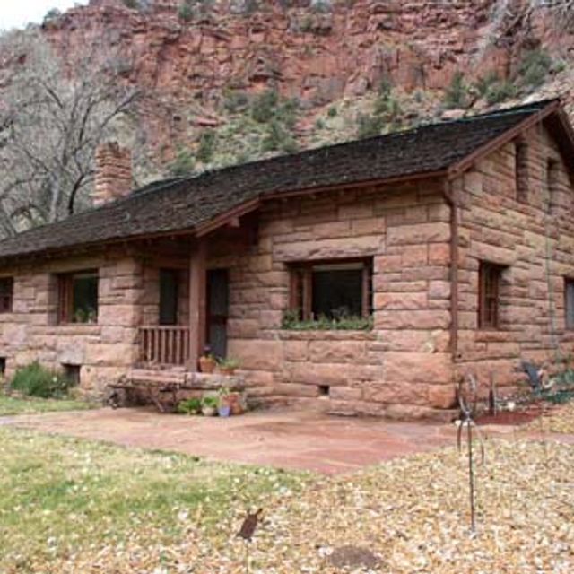
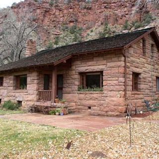
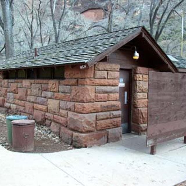
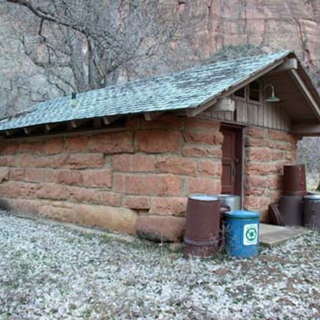
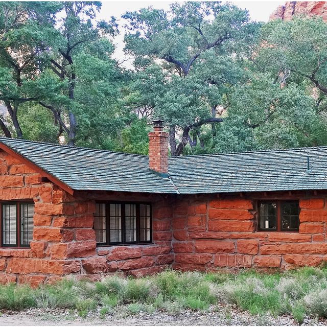
Architectural style: National Park Service rustic
Source: Wikimedia
Filters