Kane County, Administrative division in southern Utah, US
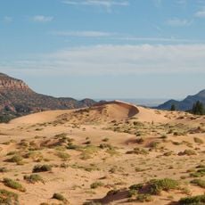
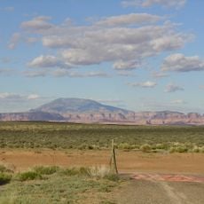
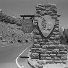
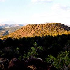
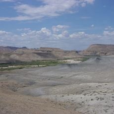
Kane County is an administrative division in southern Utah stretching across a wide terrain with several natural landmarks and geographic features. The county encompasses portions of major national areas and sits within a region known for distinctive geology.
The county was established in 1864 by Utah Territory's legislature and named after a colonel who assisted early Mormon settlers in the region. This founding was part of the initial settlement and development of Utah Territory.
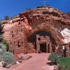
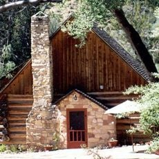
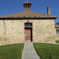
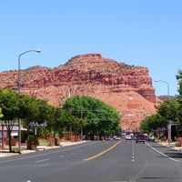
The county's identity is deeply shaped by Mormon heritage, visible in local buildings, community gatherings, and how residents organize their daily life. This religious tradition influences everything from local celebrations to how people interact with the land.
The region is best accessed via local roads connecting the various towns and attractions spread throughout the area. Visitors should expect larger distances between destinations and allow adequate time to explore the territory.
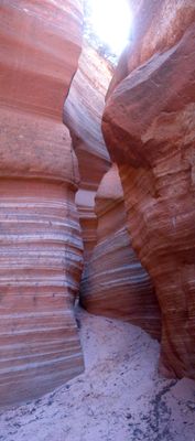
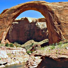
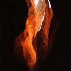
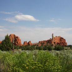
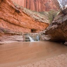
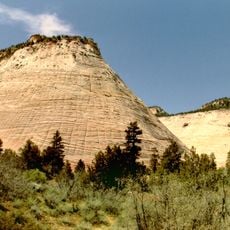
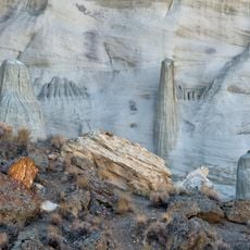
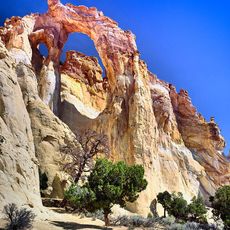
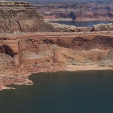
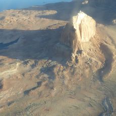
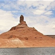
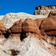
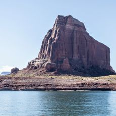
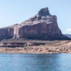
The county contains substantial portions of a national monument featuring striking red rock formations and intricate geological structures formed over millions of years. These landscapes bear witness to intense erosion processes and reveal Earth's layered history.
The community of curious travelers
AroundUs brings together thousands of curated places, local tips, and hidden gems, enriched daily by 60,000 contributors worldwide.