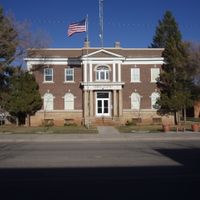
Utah, U.S. state in Mountain West, United States
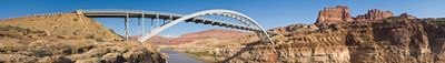
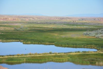
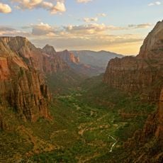
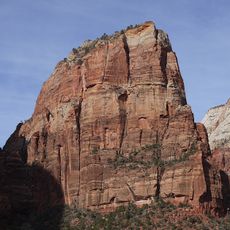
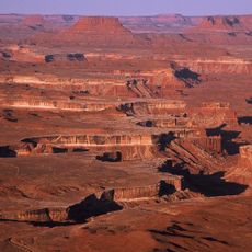
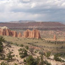
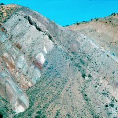
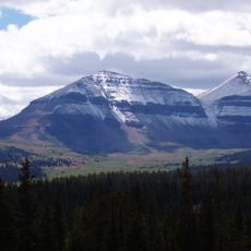
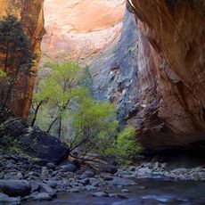
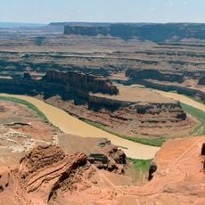
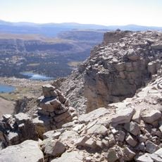
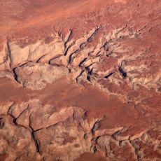
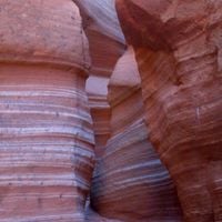
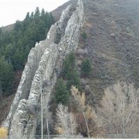
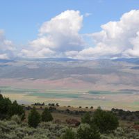
This state in the western part of the country stretches from arid desert basins in the south to forested mountain slopes in the north, covering a territory marked by dramatic elevation changes and varied ecosystems. The terrain alternates between high plateaus carved by canyons, wide valleys dotted with salt flats, and peaks that rise above 13000 feet (4000 meters).
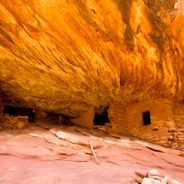
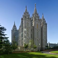
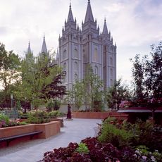
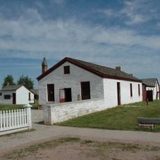
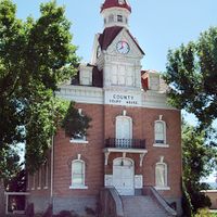
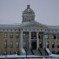
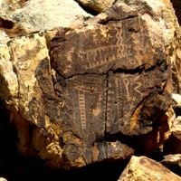
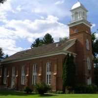
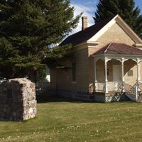
Mormon pioneers established settlements throughout the area beginning in 1847, transforming the landscape through irrigation and communal farming before the territory gained statehood in 1896. Indigenous peoples had lived here for thousands of years before European contact, leaving evidence of their presence in cliff dwellings and ceremonial sites.
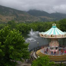
Outdoor recreation shapes daily life across the region, with families gathering at trailheads on weekends and entire communities organizing backcountry expeditions into the mountains. Local festivals often honor Indigenous heritage through dance performances, storytelling and public access to ancient rock art preserved in protected areas.
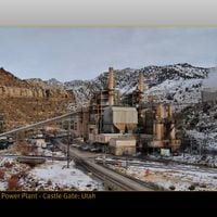
Highway networks link the northern cities to the southern desert areas, though some mountain passes close during winter and conditions can change rapidly at higher elevations. Visitors should prepare for wide temperature swings between day and night and carry extra water when exploring remote canyons or open plateaus.
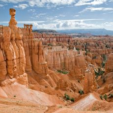
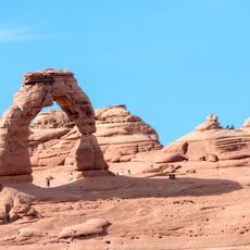
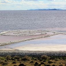
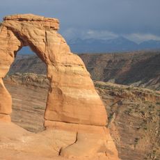
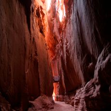
A large inland lake supports buoyant swimming due to extreme salinity, while microscopic algae turn portions of the water pink during certain seasons. Natural stone arches formed over thousands of years stand scattered across southern canyon country, glowing orange under direct sunlight.
The community of curious travelers
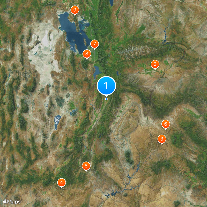
AroundUs brings together thousands of curated places, local tips, and hidden gems, enriched daily by 60,000 contributors worldwide.