Enable Location

We need your location to show you interesting places around you

Discover nearby places

Find interesting locations and hidden gems around you

Precise directions

Get accurate directions and distances to places

Your location is never shared with other users. It's only used when you tap the location button.

Box Elder County

Log in to your account

Start exploring — it's free

Trusted by travelers worldwide

Continue with Google
Continue with Apple
or

We will send you a code to connect

By continuing, you accept our Terms and Conditions and our Privacy Policy

Check your inbox

We've sent a pincode in your inbox. Please enter the code below.

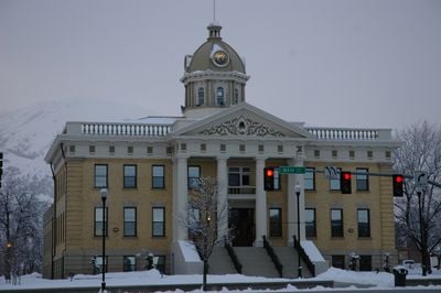
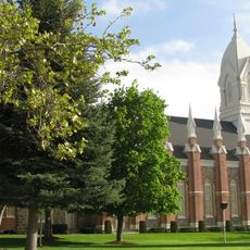
Box Elder County, County administrative division in northern Utah, United States

Description

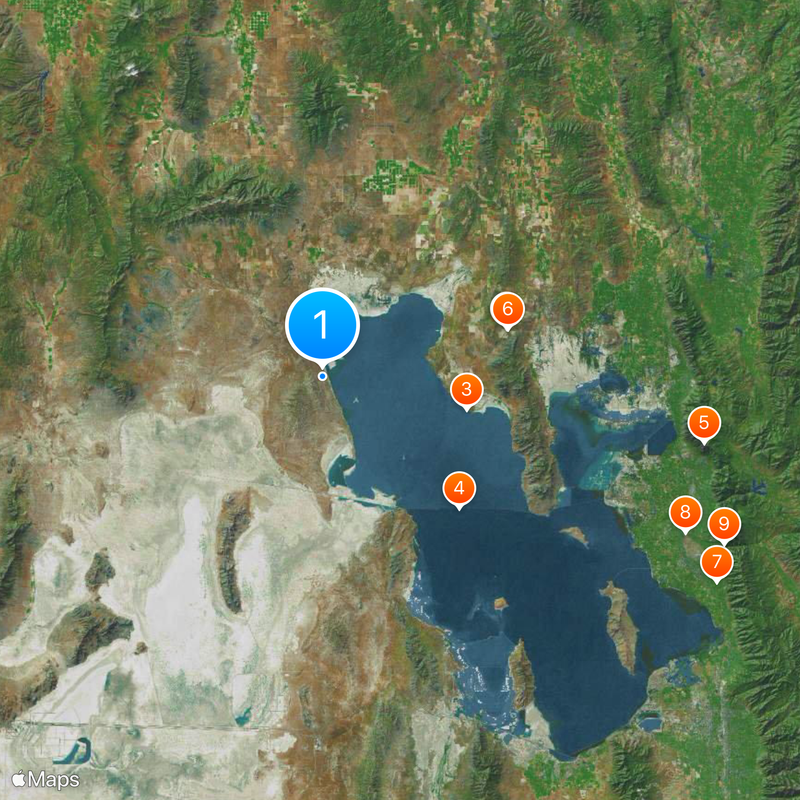
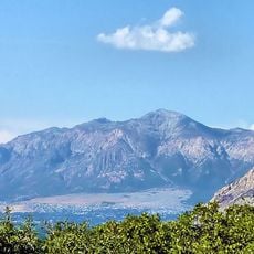
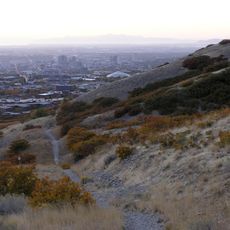
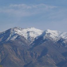
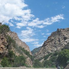
Box Elder County spans across diverse landscapes between the Great Salt Lake Desert and several mountain ranges including the Promontory, Raft River, and Grouse Creek Mountains. Interstate 15 and Interstate 84 cross through the eastern section, linking the region to neighboring states.

History

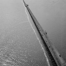
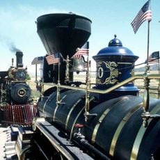
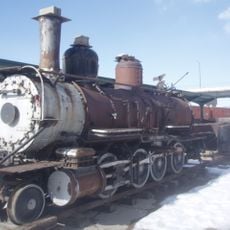
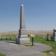
The territory saw the completion of the first transcontinental railroad at Promontory Summit in 1869, marked by the ceremonial Golden Spike. This event connected the eastern and western railroad lines for the first time.

Culture

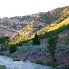
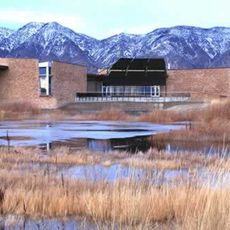
The Bear River National Migratory Bird Refuge draws nature watchers who come to observe seasonal bird populations moving through the area. Visitors can experience the flow of wildlife that shapes much of the region's natural character.

Practical

The area is best explored by car, as the two interstates provide quick access to the different landscapes. Plan for several days to properly visit the mountain ranges, desert areas, and wildlife refuges spread throughout the region.

Did you know?

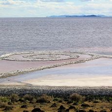
The Spiral Jetty, an earthwork sculpture created by Robert Smithson in 1970, extends from the north shore of the Great Salt Lake as a spiral formation. The artwork submerges and reappears depending on the lake's water level, making it a constantly changing installation.

Location
Inception
1856
Capital city
Brigham City
Shares border with
Cache County, Weber County, Tooele County, Elko County, Cassia County, Oneida County, Davis County
GPS coordinates
41.51000,-113.10000
Latest update
December 20, 2025 15:52

AroundUs brings together thousands of curated places, local tips, and hidden gems, enriched daily by 60,000 contributors worldwide. Discover all places nearby (Utah).

Around this place
United States of America

Golden spike

47.2 km
Spiral Jetty
United States of America

Spiral Jetty

36.8 km
Lucin Cutoff
United States of America

Lucin Cutoff

47.1 km
Ben Lomond Mountain
United States of America

Ben Lomond Mountain

96.5 km
Golden Spike National Historical Park
United States of America

Golden Spike National Historical Park

47.5 km
United States of America

Kay's Cross

110.8 km
Hill Aerospace Museum
United States of America

Hill Aerospace Museum

98.3 km
Weber Canyon
United States of America

Weber Canyon

108.3 km
Bonneville Shoreline Trail
United States of America

Bonneville Shoreline Trail

116.6 km
Bear River Migratory Bird Refuge
United States of America

Bear River Migratory Bird Refuge

85.9 km
Historic 25th Street
United States of America

Historic 25th Street

99.4 km
Bigelow-Ben Lomond Hotel
United States of America

Bigelow-Ben Lomond Hotel

99.8 km
Hogup Cave
United States of America

Hogup Cave

3.2 km
Mount Ogden
United States of America

Mount Ogden

107.5 km
D&RGW 223
United States of America

D&RGW 223

98.9 km
Peery's Egyptian Theater
United States of America

Peery's Egyptian Theater

99.7 km
Box Elder Stake Tabernacle
United States of America

Box Elder Stake Tabernacle

90.5 km
John Moses Browning House
United States of America

John Moses Browning House

100.2 km
Cutler Reservoir
United States of America

Cutler Reservoir

94.8 km
Ogden Canyon
United States of America

Ogden Canyon

106.2 km
Sun Tunnels
United States of America

Sun Tunnels

67.8 km
Martin Harris Gravesite
United States of America

Martin Harris Gravesite

99.9 km
Gustav Becker House
United States of America

Gustav Becker House

101.3 km
Weber Stake Tabernacle
United States of America

Weber Stake Tabernacle

99.4 km
United States of America

Oakridge Country Club

113.9 km
United States of America

Cherry Hill

113.6 km
Devil's Gate-Weber Hydroelectric Power Plant
United States of America

Devil's Gate-Weber Hydroelectric Power Plant

109.7 km
American Can Company of Utah Building Complex
United States of America

American Can Company of Utah Building Complex

99.1 km
Show the full map
Administrative divisions
« Box Elder County - County administrative division in northern Utah, United States » is provided by Around Us (aroundus.com). Images and texts are derived from Wikimedia project under a Creative Commons license. You are allowed to copy, distribute, and modify copies of this page, under the conditions set by the license, as long as this note is clearly visible.

Discover hidden gems everywhere you go!

From secret cafés to breathtaking viewpoints, skip the crowded tourist spots and find places that match your style. Our app makes it easy with voice search, smart filtering, route optimization, and insider tips from travelers worldwide. Download now for the complete mobile experience.

Around Us App Screenshot

A unique approach to discovering new places

Le Figaro

All the places worth exploring

France Info

A tailor-made excursion in just a few clicks

20 Minutes

Around Us
Travel Guide & Maps
Download

Send to your phone

QR Code
1

Open the camera app on your mobile.

2

Point at the QR code with your camera. A notification will appear.

3

Tap the notification to open the link.