San Juan County, Administrative division in southeastern Utah, United States.
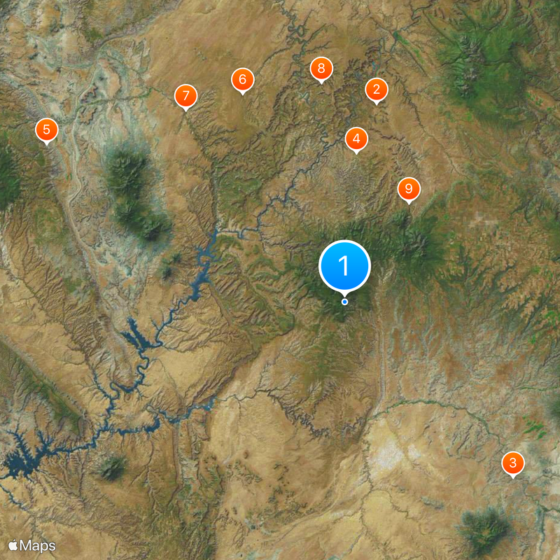
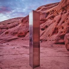
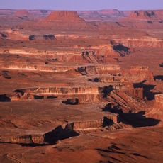
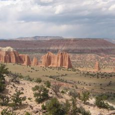
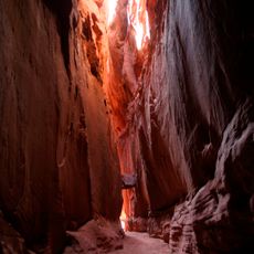
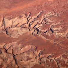
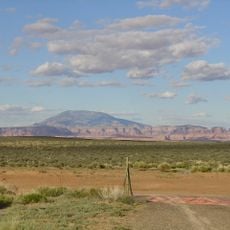
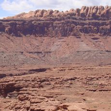
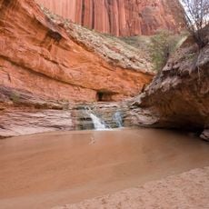
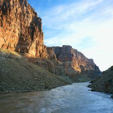
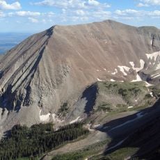
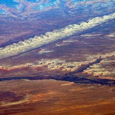
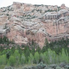
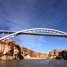
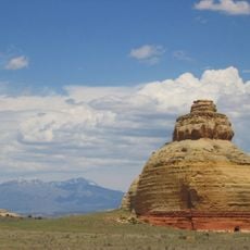
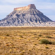
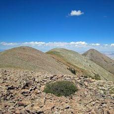
San Juan County is an administrative region in southeastern Utah covering desert plateaus, forested areas, and river valleys shaped by water and time. Its terrain displays layered rock formations, deep canyons, and varied landscapes across the county's expanse.
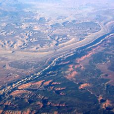
The region became a county in 1880, taking its name from the San Juan River discovered by Spanish explorers in the 1700s. This early connection between European contact and the river shaped settlement patterns that followed.
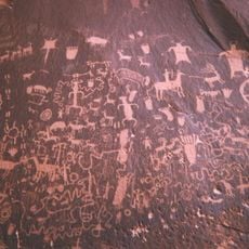
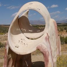
Navajo and Ute peoples have deep roots here, with their artwork, sacred sites, and ceremonies woven throughout the landscape today. Their influence shapes how people experience and understand this region.
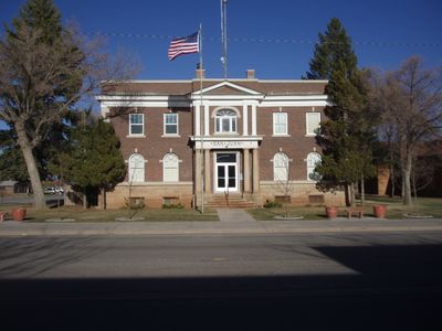
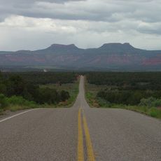
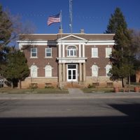
Monticello serves as the main administrative hub and is accessed via U.S. Route 191, which runs north to south through the area. When exploring the region, plan travel to specific natural areas separately as they require different access routes.
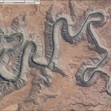
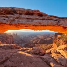
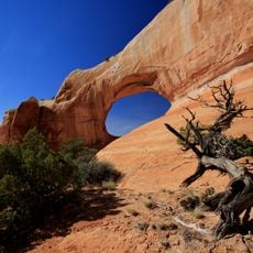
Monument Valley, Canyonlands National Park, and Natural Bridges National Monument occupy parts of this region, creating an unusual clustering of protected natural areas. Few places in the country hold this many significant designated landscapes within a single county.
Location: Utah
Inception: 1880
Capital city: Monticello
Shares border with: Grand County, Mesa County, Montrose County, San Miguel County, Dolores County, Montezuma County, San Juan County, Apache County, Navajo County, Coconino County, Kane County, Garfield County, Wayne County, Emery County
Website: http://sanjuancounty.org
GPS coordinates: 37.63000,-109.81000
Latest update: December 15, 2025 04:05
Utah monolith
80.4 km
Four Corners Monument
97.6 km
Canyonlands National Park
59.9 km
Capitol Reef National Park
135 km
Bluejohn Canyon
92.9 km
Robbers Roost
99.8 km
False Kiva
88.3 km
Newspaper Rock State Historic Monument
47.4 km
Navajo Mountain
114.9 km
Kayenta Formation
72.1 km
Goosenecks State Park
51.7 km
Mesa Arch
84.5 km
Coyote Gulch
105.8 km
Waterpocket Fold
137.7 km
Cataract Canyon
50.7 km
Hayduke trail
112.5 km
Mount Peale
103.4 km
Bears Ears
5 km
Comb Ridge
26.8 km
Recapture Canyon
34.3 km
Dark Canyon Wilderness
18 km
Hite Crossing Bridge
57.3 km
Hole N" The Rock
90.3 km
Church Rock
64.3 km
Factory Butte
132.1 km
Wilson Arch
81.2 km
Mount Ellen
103.1 km
Edge of the Cedars State Park Museum
28.2 kmVisited this place? Tap the stars to rate it and share your experience / photos with the community! Try now! You can cancel it anytime.
Discover hidden gems everywhere you go!
From secret cafés to breathtaking viewpoints, skip the crowded tourist spots and find places that match your style. Our app makes it easy with voice search, smart filtering, route optimization, and insider tips from travelers worldwide. Download now for the complete mobile experience.
A unique approach to discovering new places❞
— Le Figaro
All the places worth exploring❞
— France Info
A tailor-made excursion in just a few clicks❞
— 20 Minutes