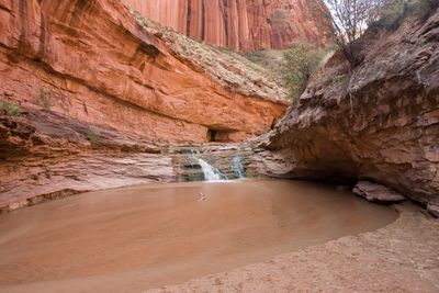
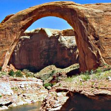
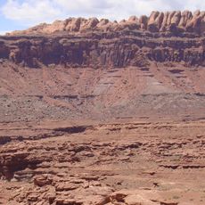
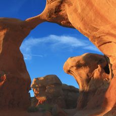
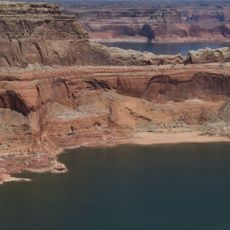
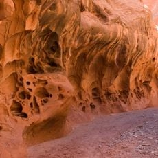
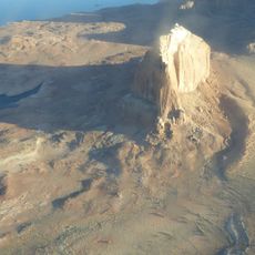
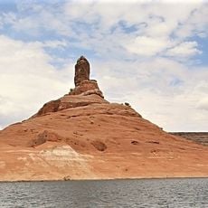
Coyote Gulch, Desert gulch in Escalante region, Utah, US
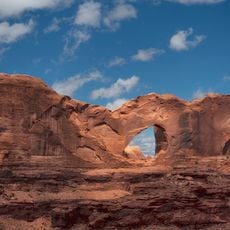
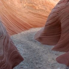
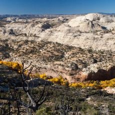
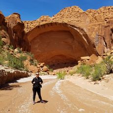
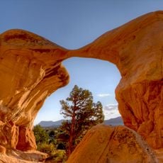
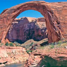
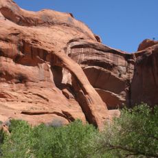
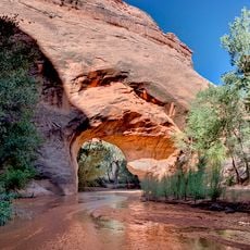
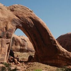
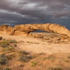
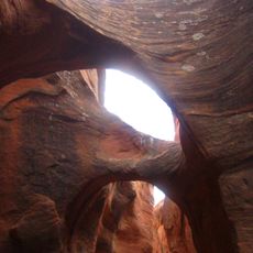
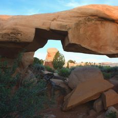
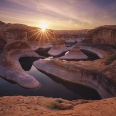
Coyote Gulch is a desert canyon in the Escalante region that winds through red sandstone formations, connecting multiple natural arches and waterfalls. The waterway eventually flows into the Escalante River near Lake Powell.
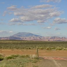
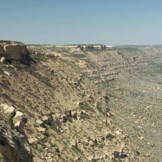
The Escalante region remained one of the last areas to be thoroughly mapped in the continental United States, with geological surveys continuing into the late 1800s. This remote territory was among the final frontiers of American exploration and scientific study.
Indigenous petroglyphs mark the sandstone walls throughout the canyon, showing that people have recognized this water source as special for centuries. The marks remain visible today, connecting modern visitors to the region's earliest inhabitants.
Access to the canyon involves a steep initial descent where about 50 feet of rope becomes helpful for the climb down. Overnight visits require backcountry permits, and visitors should plan carefully for water management and route finding through the wash.
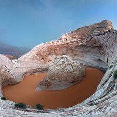
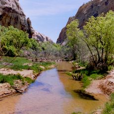
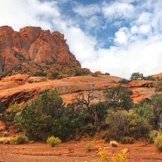
The canyon maintains flowing water year-round, creating an unusual wetland pocket within the surrounding arid landscape. This constant water source supports a variety of plants and wildlife that would otherwise struggle to survive in the dry desert.
Location: Garfield County
Location: Kane County
GPS coordinates: 37.42810,-110.98100
Latest update: December 6, 2025 16:04
Waterfalls draw you in through your senses. You hear the roar of falling water, feel the mist on your skin, and watch light dance across the spray. Many of the most powerful examples are found in places that stay relatively untouched, where reaching them is half the reward. These destinations give...
Glen Canyon
82.7 km
Navajo Mountain
45 km
Kayenta Formation
53.3 km
Devils Garden
42 km
Gunsight Butte
51.5 km
Death Hollow
42.3 km
Gregory Butte
47.1 km
Stevens Arch
660 m
Harris Wash
33.9 km
Calf Creek Canyon
54.1 km
Wolverine Canyon
44.2 km
Cookie Jar Butte
47.2 km
Horse Canyon
41 km
Dominguez Butte
51.5 km
Metate Arch
42.1 km
Cosmic Ashtray
41 km
Rainbow Bridge
39.1 km
Calf Creek
54.6 km
Straight Cliffs
20.5 km
Cliff Arch
2.5 km
Coyote Natural Bridge
4.3 km
Rainbow Bridge Canyon
37.4 km
Broken Bow Arch
11.2 km
Upper Muley Twist Canyon
48.2 km
Sunset Natural Arch
8.3 km
Peek-a-boo Canyon
11.9 km
Mano Arch
42.1 km
Reflection canyon
27.1 kmVisited this place? Tap the stars to rate it and share your experience / photos with the community! Try now! You can cancel it anytime.
Discover hidden gems everywhere you go!
From secret cafés to breathtaking viewpoints, skip the crowded tourist spots and find places that match your style. Our app makes it easy with voice search, smart filtering, route optimization, and insider tips from travelers worldwide. Download now for the complete mobile experience.
A unique approach to discovering new places❞
— Le Figaro
All the places worth exploring❞
— France Info
A tailor-made excursion in just a few clicks❞
— 20 Minutes