Enable Location

We need your location to show you interesting places around you

Discover nearby places

Find interesting locations and hidden gems around you

Precise directions

Get accurate directions and distances to places

Your location is never shared with other users. It's only used when you tap the location button.

Garfield County

Log in to your account

Start exploring — it's free

Trusted by 62,495 travelers worldwide

Continue with Google
Continue with Apple
or

We will send you a code to connect

By continuing, you accept our Terms and Conditions and our Privacy Policy

Check your inbox

We've sent a pincode in your inbox. Please enter the code below.

Garfield County, Administrative division in western Colorado, United States

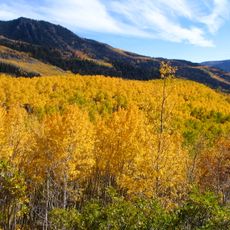
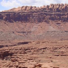
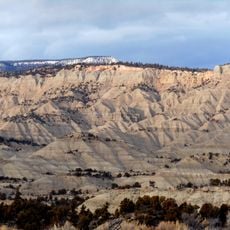
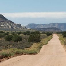
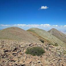
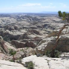
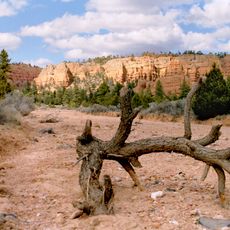
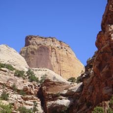
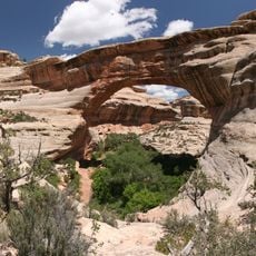
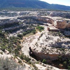
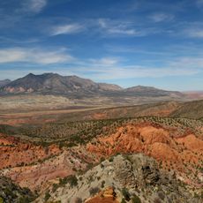
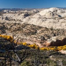
Garfield County is an administrative division in western Colorado that stretches across the Roan Plateau and along the Colorado River. The terrain varies significantly in elevation and encompasses different landscape types, from river valleys to high plateaus.

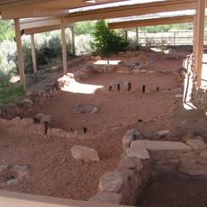
The county was founded in 1883 and named after James A. Garfield, the 20th U.S. President. The area developed through mining and agriculture to become an economic center of western Colorado.

The county fairs showcase local traditions through agricultural exhibitions and rodeos that bring people from across the region together. These gatherings are a central part of community life and reflect the area's rural character.

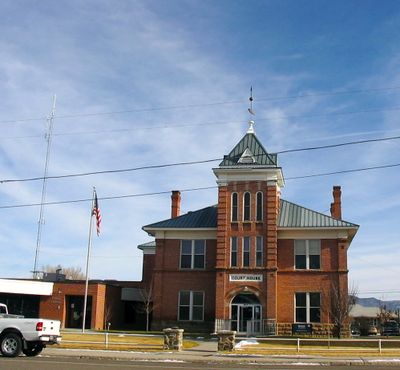
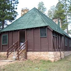
The county administration building in Glenwood Springs is the main location for government services and public records. Visitors should check opening hours in advance and bring identification documents when needed.

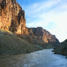
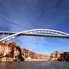
The Colorado River flows through the area and shapes its landscape as well as water availability for settlements and farming. This waterway is crucial to the region's ecological and economic life.

The community of curious travelers

AroundUs brings together thousands of curated places, local tips, and hidden gems, enriched daily by 60,000 contributors worldwide.

Start exploring
GPS coordinates
37.80181,-111.58532
Latest update
December 7, 2025 19:24
Around this place
Show the full map
« Garfield County - Administrative division in western Colorado, United States » is provided by Around Us (aroundus.com). Images and texts are derived from Wikimedia project under a Creative Commons license. You are allowed to copy, distribute, and modify copies of this page, under the conditions set by the license, as long as this note is clearly visible.

Discover hidden gems everywhere you go!

From secret cafés to breathtaking viewpoints, skip the crowded tourist spots and find places that match your style. Our app makes it easy with voice search, smart filtering, route optimization, and insider tips from travelers worldwide. Download now for the complete mobile experience.

Around Us App Screenshot

A unique approach to discovering new places

Le Figaro

All the places worth exploring

France Info

A tailor-made excursion in just a few clicks

20 Minutes

Around Us
Travel Guide & Maps
Download

Send to your phone

QR Code
1

Open the camera app on your mobile.

2

Point at the QR code with your camera. A notification will appear.

3

Tap the notification to open the link.