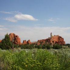
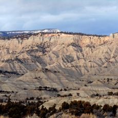
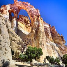
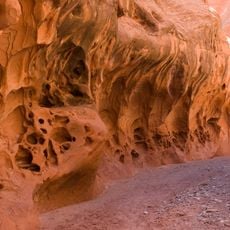
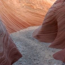
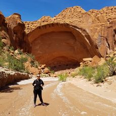
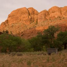
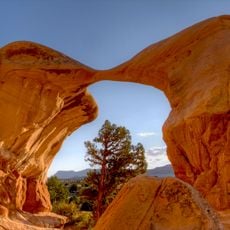
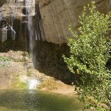
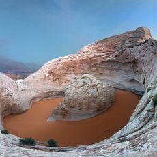
Escalante Petrified Forest State Park, Nature reserve in Escalante, United States
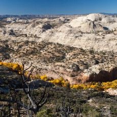
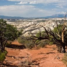
Escalante Petrified Forest State Park is a nature reserve covering about 1,350 acres with scattered petrified wood specimens and ancient logs across a high mesa. The landscape was once a prehistoric floodplain where these remains accumulated and gradually transformed into stone over millions of years.
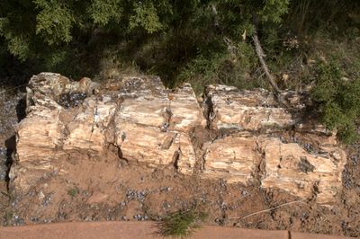
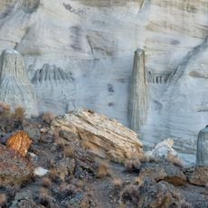
Between 135 and 155 million years ago, large trees were buried in mud during regional floods. Groundwater slowly replaced the organic material with silica, transforming the wood into the stone specimens visible in the park today.
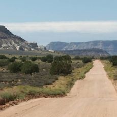
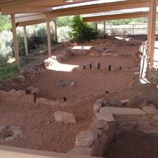
Native peoples including the Ancestral Puebloans and Paiute tribes traveled through and used these lands for generations. The landscape itself carries the memory of these connections, visible in how the terrain has been shaped by both natural forces and human presence over time.
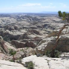
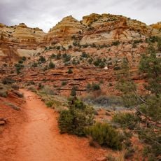
The Petrified Forest Trail is an easy loop walk of about one mile that takes you up the side of the mesa where petrified specimens are abundant. The path is straightforward and allows you to see the fossils up close without requiring special equipment or significant effort.
A notable display features a 50-foot petrified log from the Morrison Formation added to the park in 2014. This specimen allows visitors to study an entire tree structure from roots to crown, offering insight into ancient forests.
The community of curious travelers
AroundUs brings together thousands of curated places, local tips, and hidden gems, enriched daily by 60,000 contributors worldwide.