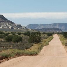
Hell's Backbone Road, Gravel mountain road between Boulder and Escalante, Utah
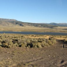
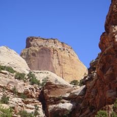
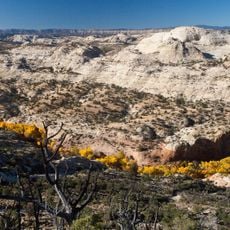
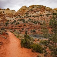
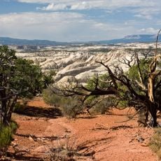
Hell's Backbone Road is a gravel route connecting Boulder and Escalante through the Grand Staircase-Escalante National Monument. The passage climbs to approximately 9,200 feet elevation and traverses narrow ridge sections with sharp drop-offs on either side.
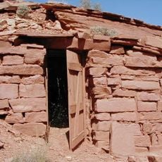
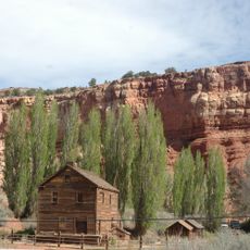
The Civilian Conservation Corps built this mountain passage in the 1930s when Boulder was the last mapped settlement in the contiguous United States. The project emerged from efforts to connect and develop remote rural areas during the economic crisis of that era.
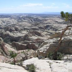
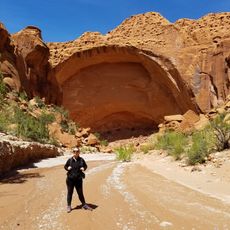
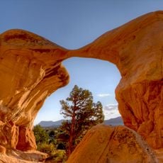
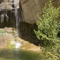
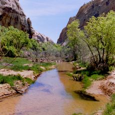
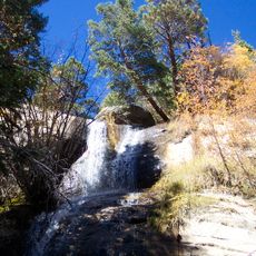
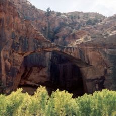
The road serves as a gateway to remote hiking trails in the Box Death Hollow Wilderness Area, where visitors enter Utah's isolated mountain terrain. People use this passage to experience the solitude and raw character of the high country away from developed areas.
This route requires dry conditions and clear weather for safe passage, with winter months typically blocking access due to snow. Travelers should expect rough surfaces and prepare their vehicles accordingly for the unpaved terrain.
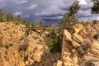
A concrete bridge spans a deep canyon marking the narrowest section where cliffs drop away dramatically on each side. This spot represents both an engineering feat and one of the more exposed stretches along the entire drive.
Location: Utah
GPS coordinates: 37.97080,-111.59900
Latest update: December 6, 2025 17:42
Utah preserves thousands of years of human history alongside some of North America's most varied geological landscapes. The region contains extensive rock art panels and Ancestral Pueblo ruins, including the 13th-century stone structures at Bears Ears National Monument and the 650-plus petroglyphs...
Fishlake National Forest
87.9 km
Dixie National Forest
18.3 km
Kaiparowits Formation
39.3 km
Calf Creek Falls
22.2 km
Hole in the Rock Trail
27.7 km
Escalante Petrified Forest State Park
20 km
Anasazi State Park Museum
16.8 km
Box-Death Hollow Wilderness
9.3 km
Otter Creek Reservoir
43.2 km
Golden Throne
45.6 km
Death Hollow
39.7 km
Calf Creek Canyon
27.2 km
Wolverine Canyon
38 km
Horse Canyon
40.5 km
Hanks' Dugouts
42.8 km
Torrey Log Church-Schoolhouse
39.8 km
Civilian Conservation Corps Powder Magazine
45.6 km
Hans Peter Nielson Gristmill
38.3 km
Charles W. and Leah Lee House
39.7 km
Metate Arch
45.8 km
Upper Calf Creek Falls
19.4 km
Cosmic Ashtray
40.6 km
Lower Calf Creek Falls
22.3 km
Lower Calf Creek Falls Trail
25.4 km
Calf Creek
26.9 km
Single Tree Falls
31.8 km
Escalante Natural Bridge
25.9 km
McGath Point Bench
17.9 kmVisited this place? Tap the stars to rate it and share your experience / photos with the community! Try now! You can cancel it anytime.
Discover hidden gems everywhere you go!
From secret cafés to breathtaking viewpoints, skip the crowded tourist spots and find places that match your style. Our app makes it easy with voice search, smart filtering, route optimization, and insider tips from travelers worldwide. Download now for the complete mobile experience.
A unique approach to discovering new places❞
— Le Figaro
All the places worth exploring❞
— France Info
A tailor-made excursion in just a few clicks❞
— 20 Minutes