Enable Location

We need your location to show you interesting places around you

Discover nearby places

Find interesting locations and hidden gems around you

Precise directions

Get accurate directions and distances to places

Your location is never shared with other users. It's only used when you tap the location button.

Hole in the Rock Trail

Log in to your account

Join the adventure

Create your free account and start exploring (like 60k+ others)

We will send you a code to connect

or
Continue with Google
Continue with Apple
By continuing, you accept our Terms and Conditions and our Privacy Policy

Check your inbox

We've sent a pincode in your inbox. Please enter the code below.

Hole in the Rock Trail, Historic pioneer trail in southeastern Utah, United States

Description

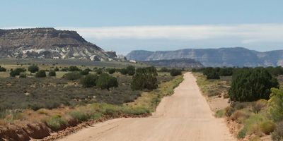
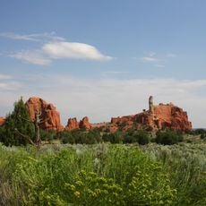
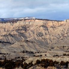
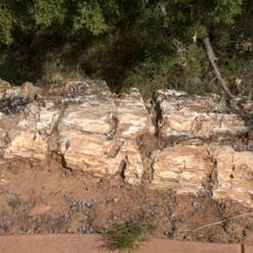
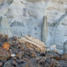
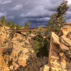
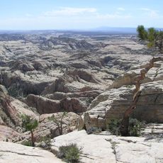
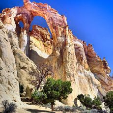
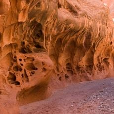
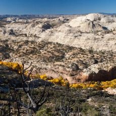
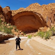
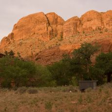
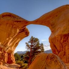
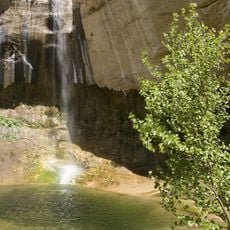
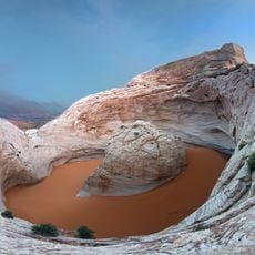
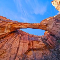
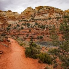
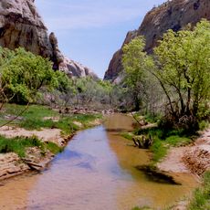
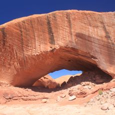
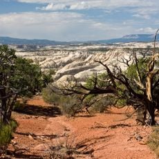
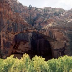
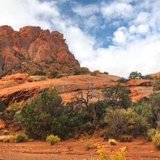
Hole in the Rock Trail is a historic passage that runs from Escalante to Bluff, winding through canyons and crossing the Colorado River while passing through varied geological formations across three counties. The route takes visitors through steep terrain, rock formations, and desert landscape shaped by water and time.

History

Mormon pioneers carved this route in 1879 over six months, cutting through steep cliffs to reach and establish new settlements in southeastern Utah. This construction effort marked a turning point in opening up remote areas of the region to settlement.

Culture

The trail reflects the perseverance of Mormon settlers who pushed into remote corners of southeastern Utah to build communities. Walking it today, you experience the same landscape that tested their resolve and shaped the region's settlement patterns.

Practical

The trail is maintained by the Bureau of Land Management with no entrance fee, and markers point out areas of interest along the route. Plan for variable terrain and changing conditions, as the canyon environment can be demanding in certain seasons.

Did you know?

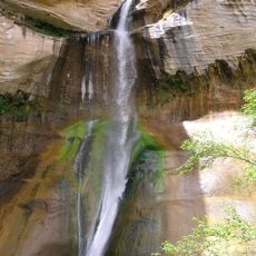
Portions of the original trail now lie submerged beneath Lake Powell's waters, while remaining sections serve both hikers and boaters traveling the canyon system. This combination of drowned and preserved pathways creates a layered history that few other routes in the region share.

Location
Location
Location
GPS coordinates
37.72750,-111.53139
Latest update
December 8, 2025 20:02

AroundUs brings together thousands of curated places, local tips, and hidden gems, enriched daily by 60,000 contributors worldwide. Discover all places nearby (Garfield County).

Around this place
Show the full map
« Hole in the Rock Trail - Historic pioneer trail in southeastern Utah, United States » is provided by Around Us (aroundus.com). Images and texts are derived from Wikimedia project under a Creative Commons license. You are allowed to copy, distribute, and modify copies of this page, under the conditions set by the license, as long as this note is clearly visible.

Discover hidden gems everywhere you go!

From secret cafés to breathtaking viewpoints, skip the crowded tourist spots and find places that match your style. Our app makes it easy with voice search, smart filtering, route optimization, and insider tips from travelers worldwide. Download now for the complete mobile experience.

Around Us App Screenshot

A unique approach to discovering new places

Le Figaro

All the places worth exploring

France Info

A tailor-made excursion in just a few clicks

20 Minutes

Around Us
Travel Guide & Maps
Download

Send to your phone

QR Code
1

Open the camera app on your mobile.

2

Point at the QR code with your camera. A notification will appear.

3

Tap the notification to open the link.