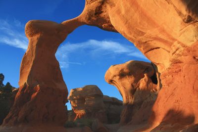
Devils Garden, Rock formation in Grand Staircase-Escalante National Monument, Utah, US.
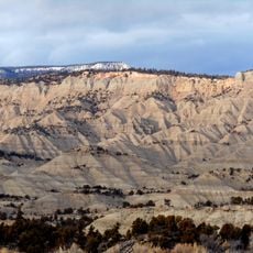
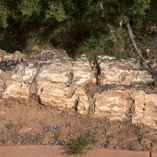
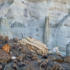
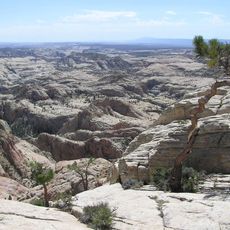
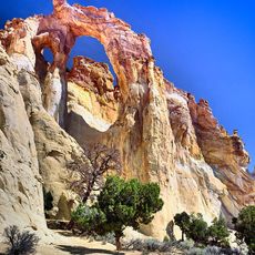
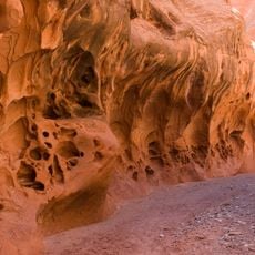
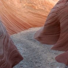
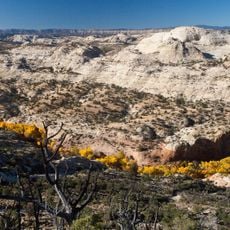
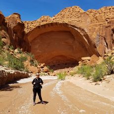
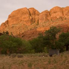
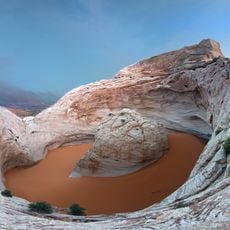
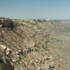
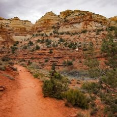
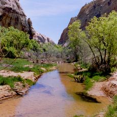
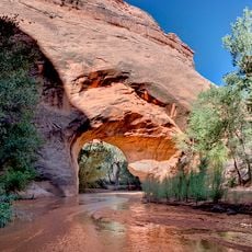
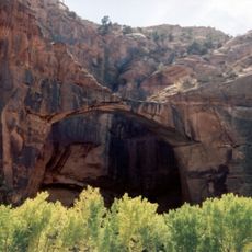
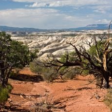
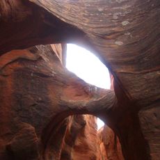
Devils Garden is a rock formation area within Grand Staircase-Escalante National Monument featuring red sandstone cliffs, natural stone arches, and tall columnar rock shapes. The landscape spreads across hundreds of acres at a high elevation and displays various types of erosional features sculpted over millions of years.
The area received protected status in 1979 when the Bureau of Land Management designated it as an outstanding natural area. This designation was made to safeguard the remarkable geological formations and preserve them for the future.
The name refers to the dramatic appearance of the red rock formations, which have drawn hikers and nature enthusiasts for generations. People come here to walk among the unusual shapes and experience the quiet power of stone carved by natural forces.
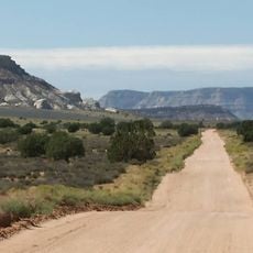
Access is via Hole-in-the-Rock Road, an unpaved route that requires time to drive and leads to the monument area. Visitors should prepare for hot, dry conditions and trails that cross uneven ground.
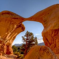
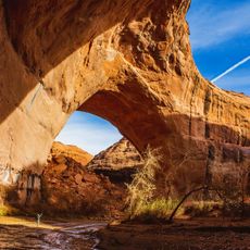
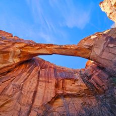
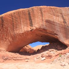
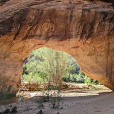
Two named stone arches within the site showcase distinctive examples of how natural bridges form through millions of years of erosion. These features demonstrate the slow but relentless work of water and wind shaping hard rock into fascinating forms.
The community of curious travelers
AroundUs brings together thousands of curated places, local tips, and hidden gems, enriched daily by 60,000 contributors worldwide.