Lower Calf Creek Falls

Log in to your account

AroundUs is a community-driven map of interesting places, built by curious explorers like you. It grows with every review, story, and photo you share.
Connect to save your favorite spots, contribute locations, and create personalized routes.
Continue with Google
Continue with Apple
Continue with X
Continue with Facebook
Continue with email
By continuing, you accept our Terms and Conditions and our Privacy Policy
Create an account

Lower Calf Creek Falls

Add to collection
Map
Suggest a change
Share

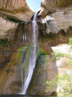
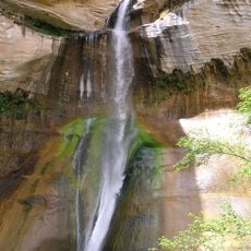
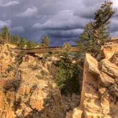
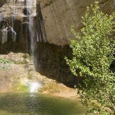
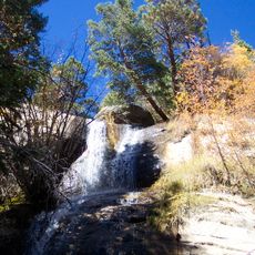
Lower Calf Creek Falls, Waterfall in Garfield County, Utah.

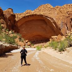
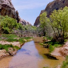
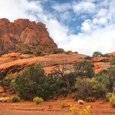
Lower Calf Creek Falls is a waterfall in a desert canyon surrounded by red sandstone cliffs that drops into a deep pool below. The waterfall creates a small green oasis with vegetation and shade in the otherwise dry landscape.

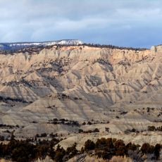
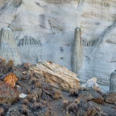
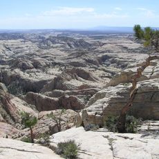
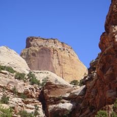
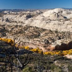
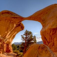
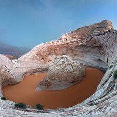
The waterfall formed over millions of years as water gradually carved through layers of sandstone on the Colorado Plateau. This slow erosion shaped the canyon landscape we see today.

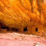
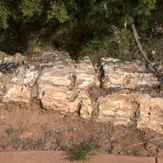
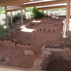
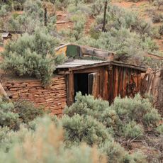
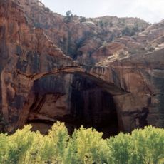
Native American pictographs and stone structures are visible along the trail, left by the Fremont people who lived in this region for centuries. These marks show how people adapted to life in the canyon and used its resources.

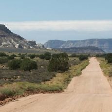
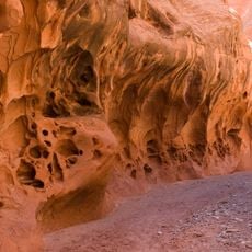
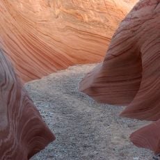
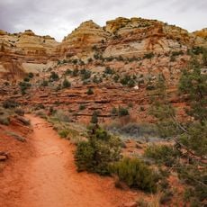
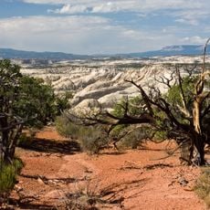
The trail is sandy with some uneven ground and takes about three hours to complete round trip. Bring plenty of water and wear good hiking shoes, as the path can be dusty and occasionally slippery.

The water flows constantly year-round, creating a small ecosystem that supports plants rarely found elsewhere in this desert region. This green zone in the middle of dry land acts like an oasis for wildlife and plants.

Location: Garfield County

Elevation above the sea: 5,545 ft

GPS coordinates: 37.82913,-111.41992

Latest update: December 6, 2025 19:06

Photos
Natural monuments in Utah: archaeological sites, rock formations, thermal springs

Utah preserves thousands of years of human history alongside some of North America's most varied geological landscapes. The region contains extensive rock art panels and Ancestral Pueblo ruins, including the 13th-century stone structures at Bears Ears National Monument and the 650-plus petroglyphs...

Reviews

Visited this place? Tap the stars to rate it and share your experience / photos with the community! Try now! You can cancel it anytime.

« Lower Calf Creek Falls - Waterfall in Garfield County, Utah » is provided by Around Us (aroundus.com). Images and texts are derived from Wikimedia project under a Creative Commons license. You are allowed to copy, distribute, and modify copies of this page, under the conditions set by the license, as long as this note is clearly visible.

Discover hidden gems everywhere you go!

From secret cafés to breathtaking viewpoints, skip the crowded tourist spots and find places that match your style. Our app makes it easy with voice search, smart filtering, route optimization, and insider tips from travelers worldwide. Download now for the complete mobile experience.

Around Us App Screenshot

A unique approach to discovering new places

Le Figaro

All the places worth exploring

France Info

A tailor-made excursion in just a few clicks

20 Minutes