Box-Death Hollow Wilderness, Wilderness area in Garfield County, Utah, US.
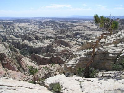
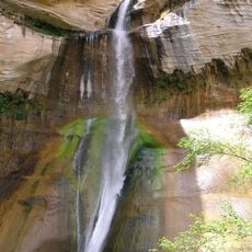
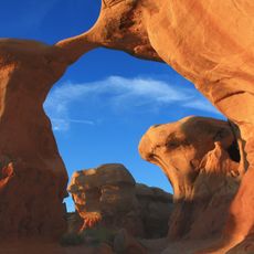
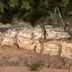
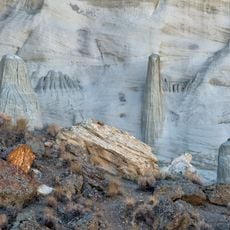
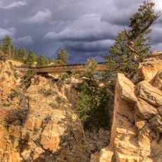
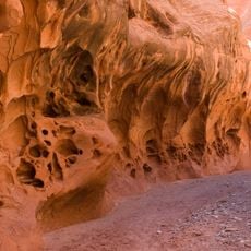
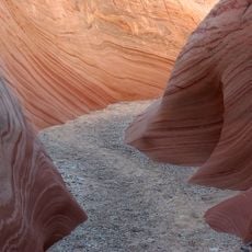
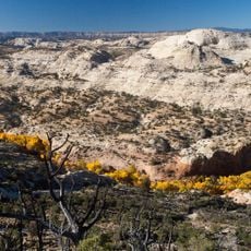
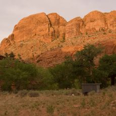
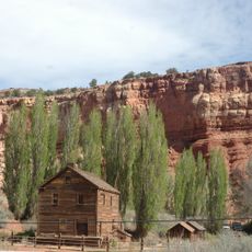
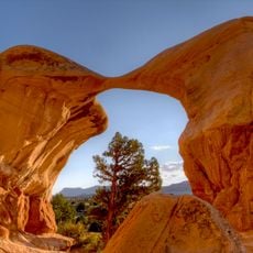
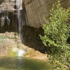
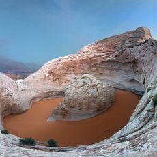
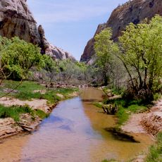
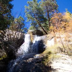
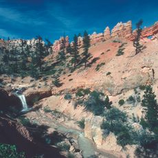
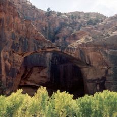
Box-Death Hollow is a protected wilderness area in Utah containing about 26,000 acres of sandstone terrain where two tributaries flow between vertical gray-orange walls. The landscape features deep canyons carved by water, with soaring rock faces that shape the experience throughout the area.
Congress designated this area as a protected wilderness on September 18, 1984, through the Utah Wilderness Act. This legal protection secured the landscape for future generations and represented a major commitment to conservation in the state.
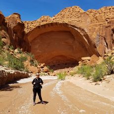
The name comes from historical incidents where livestock herds perished attempting to cross the steep canyon walls in this remote area. This tragic past remains connected to how locals and visitors understand and talk about the place today.
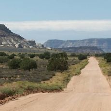
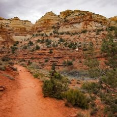
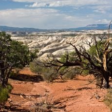
A marked trail about 9 miles long traverses through the canyon and provides an established route for visitors. Exploration beyond this trail demands advanced navigation skills and familiarity with unmarked drainage routes.
Three bird species listed as sensitive by Utah wildlife officials nest and live in this area: Lewis's woodpecker, western bluebird, and mountain bluebird. These birds rely on the canyon environment for survival and breeding.
The community of curious travelers
AroundUs brings together thousands of curated places, local tips, and hidden gems, enriched daily by 60,000 contributors worldwide.