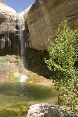
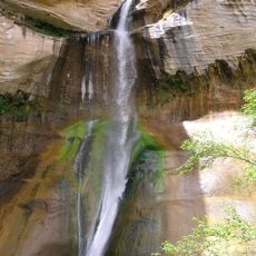
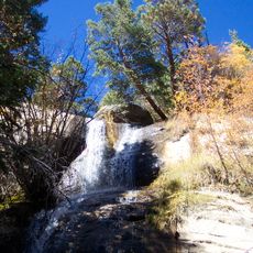
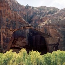
Upper Calf Creek Falls, waterfall on Calf Creek in Garfield County, Utah, United States
Description
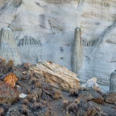
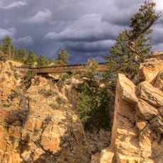
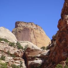
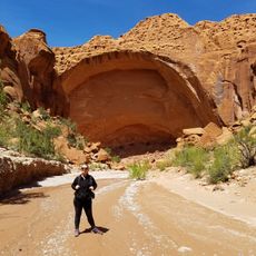
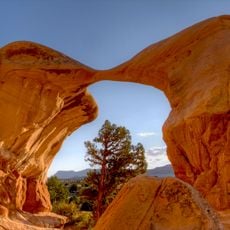
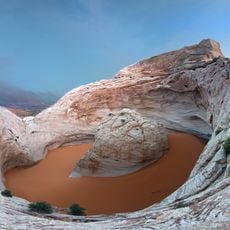
Upper Calf Creek Falls is a waterfall in Grand Staircase-Escalante National Monument in Utah that drops into a natural pool surrounded by red sandstone walls. The water creates a green zone with trees and plants that stands out against the dry desert landscape around it.
History
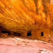
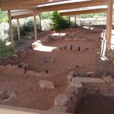
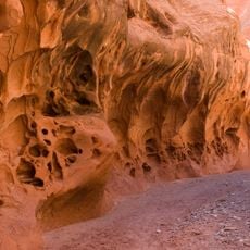
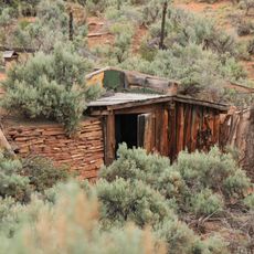
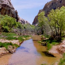
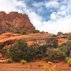
In the late 1800s, early settlers used the natural formations around Calf Creek as shelter areas for young cattle during ranching. The valley floor provided important water access in this otherwise dry region.
Practical
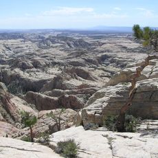
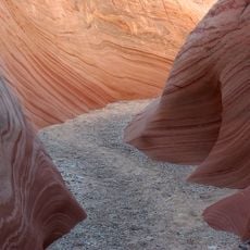
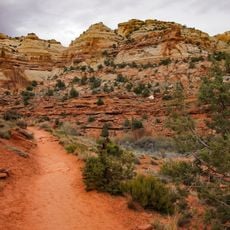
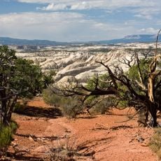
Visiting requires sturdy hiking boots and plenty of water since the terrain is uneven and demanding. The best time to walk is early morning or late afternoon when temperatures are cooler.
Did you know?
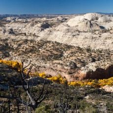
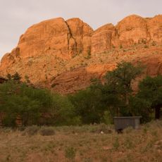
The waterfall flows all year round, creating a small habitat where plants and animals thrive that would not otherwise survive in the desert. This constant water source makes the spot a green refuge in the surrounding dry landscape.
AroundUs brings together thousands of curated places, local tips, and hidden gems, enriched daily by 60,000 contributors worldwide. Discover all places nearby (Garfield County).
Utah preserves thousands of years of human history alongside some of North America's most varied geological landscapes. The region contains extensive rock art panels and Ancestral Pueblo ruins, including the 13th-century stone structures at Bears Ears National Monument and the 650-plus petroglyphs...
Fishlake National Forest
105.5 km
Dixie National Forest
29.4 km
Kaiparowits Formation
32.9 km
Calf Creek Falls
3.1 km
Devils Garden
30.3 km
Hole in the Rock Trail
16.5 km
Escalante Petrified Forest State Park
17.5 km
Anasazi State Park Museum
6.3 km
Wahweap Formation
45.9 km
Hell's Backbone Road
19.4 km
Box-Death Hollow Wilderness
18 km
Golden Throne
46.1 km
Death Hollow
20.3 km
Harris Wash
28.3 km
Calf Creek Canyon
8.5 km
Wolverine Canyon
18.7 km
Horse Canyon
21.1 km
Hanks' Dugouts
41.9 km
Metate Arch
29.9 km
Cosmic Ashtray
21.8 km
Lower Calf Creek Falls
3.1 km
Lower Calf Creek Falls Trail
6.8 km
Calf Creek
8.9 km
Single Tree Falls
35.3 km
Escalante Natural Bridge
9.2 km
McGath Point Bench
3.2 km
Upper Muley Twist Canyon
34.8 km
Mano Arch
29.9 kmDiscover hidden gems everywhere you go!
From secret cafés to breathtaking viewpoints, skip the crowded tourist spots and find places that match your style. Our app makes it easy with voice search, smart filtering, route optimization, and insider tips from travelers worldwide. Download now for the complete mobile experience.
A unique approach to discovering new places❞
— Le Figaro
All the places worth exploring❞
— France Info
A tailor-made excursion in just a few clicks❞
— 20 Minutes