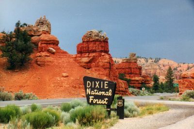
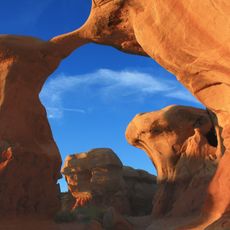
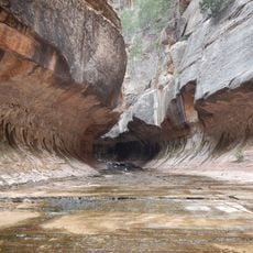
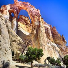
Dixie National Forest, National forest with red sandstone formations in Utah, United States.
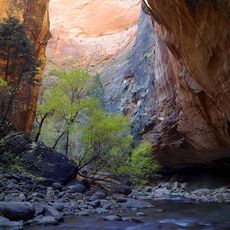
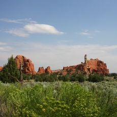
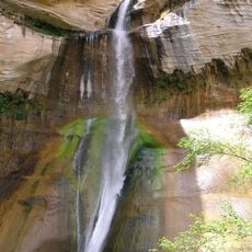
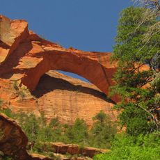
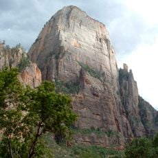
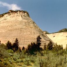
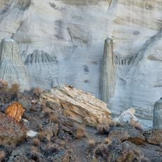
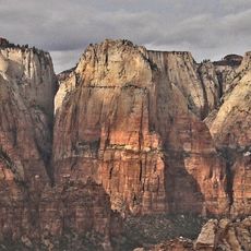
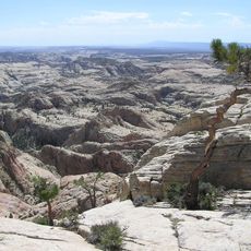
Dixie National Forest is a forest preserve across southern Utah with pine woodlands, red rock canyons, and elevations ranging from about 2,800 to 11,300 feet. The landscape blends mountain forest with dramatic sandstone formations colored deep red and orange.
The forest was protected by the Forest Service in 1906 and named after the term Dixie, which Mormon settlers used for their region. The name preserves the connection to the early settlers who developed the area.
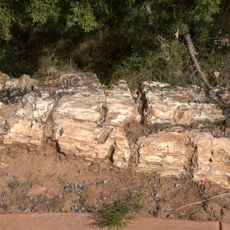
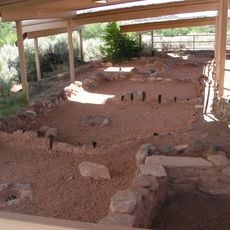
The forest holds archaeological sites where visitors can see traces of Native American settlements spanning thousands of years. Walking through these areas offers a sense of how people adapted to and lived within this landscape over long periods.
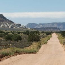
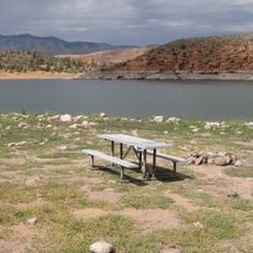
The area has multiple campgrounds and visitor centers in Cedar City, Escalante, Pine Valley, and Powell offering information for outdoor activities. Visitors should know that elevation changes are significant and weather varies greatly depending on location.
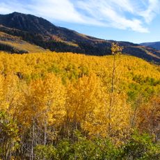
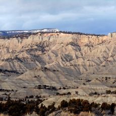
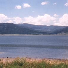
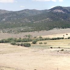
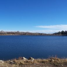
Boulder Mountain within this forest holds hundreds of small lakes at elevations between 10,000 and 11,000 feet, creating a rare high-altitude plateau ecosystem. These water bodies at such elevation are uncommon and make this mountain ridge particularly interesting for hikers.
The community of curious travelers
AroundUs brings together thousands of curated places, local tips, and hidden gems, enriched daily by 60,000 contributors worldwide.