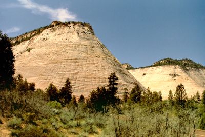
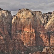
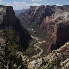
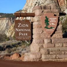
Checkerboard Mesa, Sandstone mesa in Zion National Park, United States.
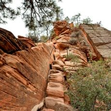
Checkerboard Mesa is a sandstone formation in Zion National Park that displays a striking grid-like surface pattern carved into white Navajo sandstone at about 2027 meters elevation. The mesa's face shows alternating horizontal and vertical grooves that have developed through natural geological processes over millions of years.
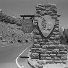
The formation received its official name in 1935 through the U.S. Board on Geographic Names following a proposal from the park's superintendent at that time. This naming marked recognition of the site's distinctive geological features within the broader landscape of the region.
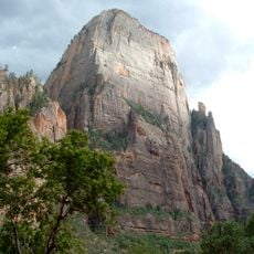
The formation serves as a testament to the geological processes that shaped the American Southwest, representing millions of years of sedimentary rock evolution.
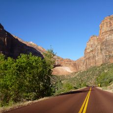
You can reach the mesa via the Zion-Mount Carmel Highway, where parking areas along the road make it easy to stop and view the formation. The site works well for photography and geological observation from vehicle level or short walks from the parking areas.
The striking checkerboard pattern results from two overlapping natural processes working together on the rock face. Temperature fluctuations created the vertical lines while ancient cross-bedded sand dunes left the horizontal grooves.
The community of curious travelers
AroundUs brings together thousands of curated places, local tips, and hidden gems, enriched daily by 60,000 contributors worldwide.