Pink Cliffs, Limestone cliffs in southwestern Utah, United States
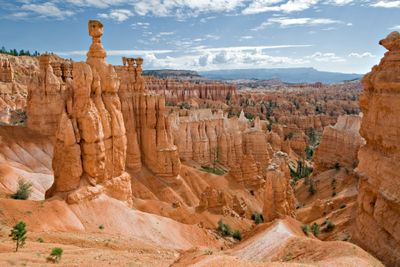
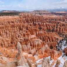
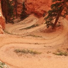
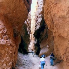
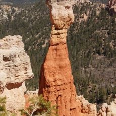
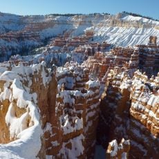
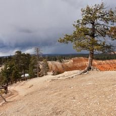
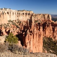
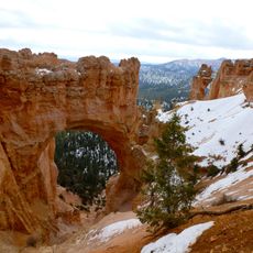
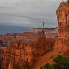
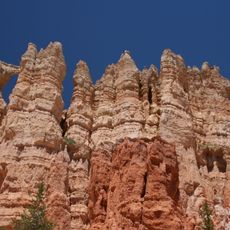
Pink Cliffs are a series of rose and red limestone formations stretching across three counties in southwestern Utah, appearing at two distinct elevation levels. The upper walls display steep, towering faces, while the lower plateau shows gently eroded ridges and pinnacles shaped by water and wind.
Geologist Clarence Dutton named these formations in the 1870s as part of the Grand Staircase, a sequence of cliffs extending from Utah toward the Grand Canyon. The layered rocks tell the story of an ancient sea that once covered this region, depositing sediments that eventually hardened into these visible stone formations.
The Paiute and Shoshone peoples historically inhabited this high plateau region, traveling through the canyons and valleys for hunting and gathering. The landscape remains embedded with these connections through place names and traditional routes that visitors can still trace today.
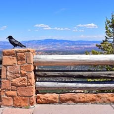
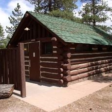
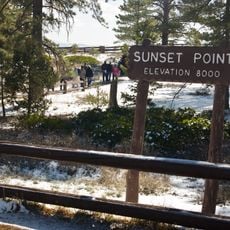
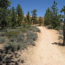
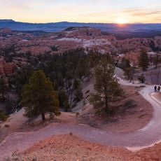
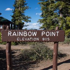
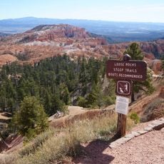
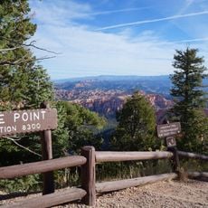
These formations are best explored through designated trails and viewpoints at Bryce Canyon National Park and Cedar Breaks National Monument, where access roads and parking areas are clearly marked. The high elevation means thinner air, so taking time to walk slowly helps visitors acclimate and enjoy the experience more fully.
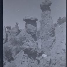
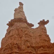
Rather than forming a single continuous wall, these cliffs consist of separate limestone units created at different times with distinct erosion patterns. Each formation displays its own color variations ranging from pale pink to deep red, making the landscape a complex patchwork rather than a uniform ridge.
The community of curious travelers
AroundUs brings together thousands of curated places, local tips, and hidden gems, enriched daily by 60,000 contributors worldwide.