Chest opened
+${chestReward.xp} XP
Explorer
NOUVEAU ×${chestReward.collectible.quantity}
tapez pour fermer

See the monuments around you in AR Open chests in the app

Around Us is built for your phone — point your camera at the streets and discover the monuments and places around you in augmented reality. Around Us is built for your phone — chests unlock when you walk, explore and capture nearby places.

Enable Location

We need your location to show you interesting places around you

Discover nearby places

Find interesting locations and hidden gems around you

Precise directions

Get accurate directions and distances to places

Your location is never shared with other users. It's only used when you tap the location button.

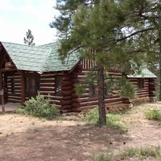
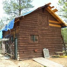
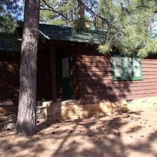
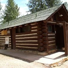
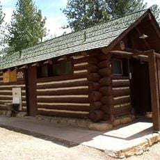
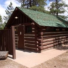
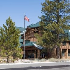
Bryce Canyon National Park Scenic Trails Historic District

Log in to your account

Start exploring — it's free

Trusted by 85,645 travelers worldwide

Continue with Google
Continue with Apple
or

We will send you a code to connect

By continuing, you accept our Terms and Conditions and our Privacy Policy

Check your inbox

We've sent a pincode in your inbox. Please enter the code below.

Bryce Canyon National Park Scenic Trails Historic District
Discussion Reviews 1 Photos
1.9k Popularity

Bryce Canyon National Park Scenic Trails Historic District, Trail system in Garfield County, US

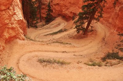
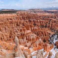
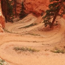
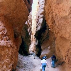
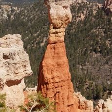
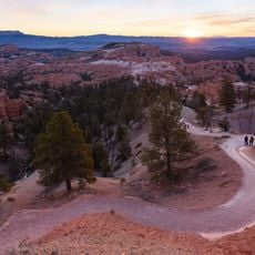
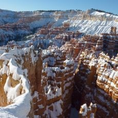
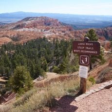
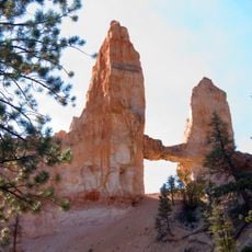
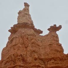
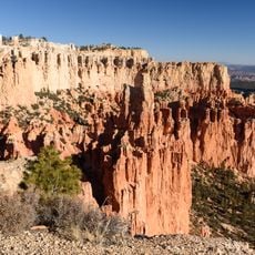
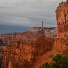
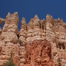
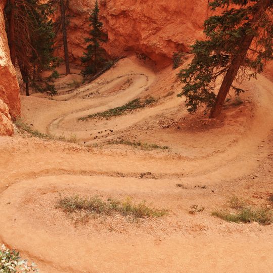
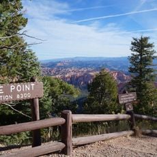
Bryce Canyon National Park Scenic Trails Historic District is a network of five interconnected walking paths that traverse red rock formations and canyon landscapes. The routes lead past distinctive tall rock spires called hoodoos and offer several options to match different fitness levels.

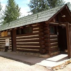
The trails were constructed between 1917 and 1935 by Civilian Conservation Corps workers during the Great Depression era. These routes created lasting access through the park that remains in use today.

The National Register of Historic Places recognized this trail network in 1995 for its contribution to public recreation and natural resource preservation.

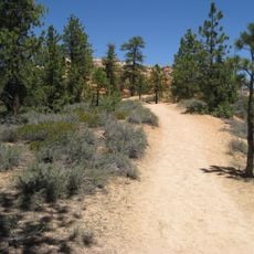
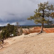
The paths vary in length and difficulty, ranging from short walks to demanding full-day hikes. Visitors should prepare for changing weather, steep sections, and varying elevations along the routes.

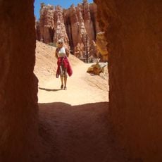
Two tunnels cut through the Queen's Garden path and show how early builders engineered access through the landscape. These underground sections connect open walking areas into continuous routes without detours.

The community of curious travelers

AroundUs brings together thousands of curated places, local tips, and hidden gems, enriched daily by 60,000 contributors worldwide.
Start exploring
Location
GPS coordinates
37.61767,-112.16303
Latest update
August 30, 2026 22:26
Around this place
Bryce Canyon
United States of America

Bryce Canyon

1.1 mi
Bryce Canyon Lodge Historic District
United States of America

Bryce Canyon Lodge Historic District

0.6 mi
Utah Parks Company Service Station
United States of America

Utah Parks Company Service Station

0.8 mi
Old Administration Building
United States of America

Old Administration Building

1 mi
Horse Barn
United States of America

Horse Barn

1.2 mi
Old National Park Service Housing Historic District
United States of America

Old National Park Service Housing Historic District

0.9 mi
Bryce Canyon campground comfort stations
United States of America

Bryce Canyon campground comfort stations

1.2 mi
Loop C Comfort Station
United States of America

Loop C Comfort Station

1.3 mi
Loop D Comfort Station
United States of America

Loop D Comfort Station

1.2 mi
Bryce Canyon Visitor Center
United States of America

Bryce Canyon Visitor Center

1.6 mi
Peekaboo Loop Trail
United States of America

Peekaboo Loop Trail

0.4 mi
Navajo Loop Trail
United States of America

Navajo Loop Trail

180 ft
North Campground
United States of America

North Campground

1.2 mi
Sunset Point Overlook
United States of America

Sunset Point Overlook

0.4 mi
Queens Garden Trail
United States of America

Queens Garden Trail

0.5 mi
Thor's Hammer
United States of America

Thor's Hammer

0.3 mi
Rim Trail
United States of America

Rim Trail

0.8 mi
Sunrise Point
United States of America

Sunrise Point

0.8 mi
Mather Plaque in Bryce Canyon National Park
United States of America

Mather Plaque in Bryce Canyon National Park

1.6 mi
Silent City
United States of America

Silent City

0.3 mi
Tower Bridge
United States of America

Tower Bridge

1.4 mi
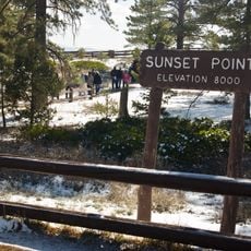
Sunset Point
United States of America

Sunset Point

0.4 mi
Inspiration Point Overlook
United States of America

Inspiration Point Overlook

0.4 mi
Queen Victoria
United States of America

Queen Victoria

0.5 mi
Paria View Overlook
United States of America

Paria View Overlook

1.5 mi
Bryce Point Overlook
United States of America

Bryce Point Overlook

1 mi
The Sentinel
United States of America

The Sentinel

0.2 mi
Wall of Windows
United States of America

Wall of Windows

0.7 mi
Show the full map
Reviews
Share your experience

No review yet

Discussions
Start a discussion...

No discussion yet

« Bryce Canyon National Park Scenic Trails Historic District - Trail system in Garfield County, US » is provided by Around Us (aroundus.com). Images and texts are derived from Wikimedia project under a Creative Commons license. You are allowed to copy, distribute, and modify copies of this page, under the conditions set by the license, as long as this note is clearly visible.

Discover hidden gems everywhere you go!

From secret cafés to breathtaking viewpoints, skip the crowded tourist spots and find places that match your style. Our app makes it easy with voice search, smart filtering, route optimization, and insider tips from travelers worldwide. Download now for the complete mobile experience.
Around Us App Screenshot

A unique approach to discovering new places

Le Figaro

All the places worth exploring

France Info

A tailor-made excursion in just a few clicks

20 Minutes

Around Us
Travel Guide & Maps
Download

Send to your phone

QR Code
1

Open the camera app on your mobile.

2

Point at the QR code with your camera. A notification will appear.

3

Tap the notification to open the link.