Iron County, Administrative division in southwestern Utah, United States
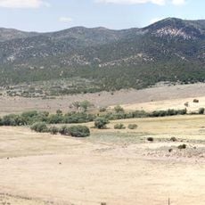
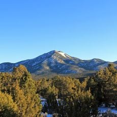
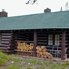
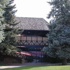
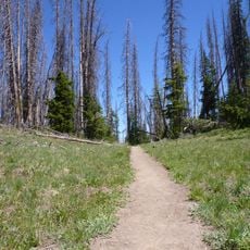
Iron County is an administrative division in southwestern Utah that encompasses diverse landscapes across its territory. The region combines mountains, forests, and desert areas, with several towns serving as community centers.
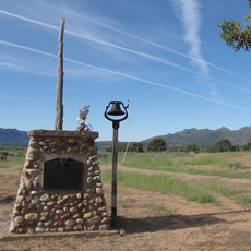
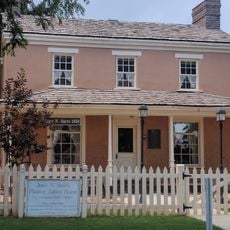
The name originates from iron ore discoveries in the 1850s that prompted initial settlement and mining efforts. This early resource extraction shaped how the region and its communities developed over time.
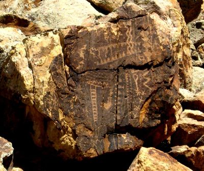
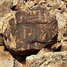
The Shoshone and Southern Paiute peoples have inhabited this land for generations, and their presence remains woven into the region's identity. Communities here maintain connections to these traditions through local stories and cultural sites.
Interstate 15 runs through the area and connects major towns to national parks and ski areas. The terrain varies in elevation across different zones, so weather conditions can change quickly depending on where you are.
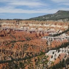
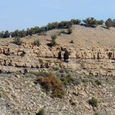
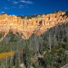
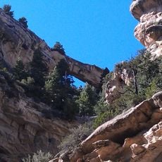
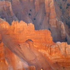
Cedar Breaks displays striking limestone formations that resemble natural amphitheaters carved into a high plateau. These geological features formed through erosion over countless years and create a dramatic contrast with surrounding forest areas.
The community of curious travelers
AroundUs brings together thousands of curated places, local tips, and hidden gems, enriched daily by 60,000 contributors worldwide.