Enable Location

We need your location to show you interesting places around you

Discover nearby places

Find interesting locations and hidden gems around you

Precise directions

Get accurate directions and distances to places

Your location is never shared with other users. It's only used when you tap the location button.

Parowan

Log in to your account

Start exploring — it's free

Trusted by 64,449 travelers worldwide

Continue with Google
Continue with Apple
or

We will send you a code to connect

By continuing, you accept our Terms and Conditions and our Privacy Policy

Check your inbox

We've sent a pincode in your inbox. Please enter the code below.

Discussion Reviews 1 Photos
18.7k Popularity

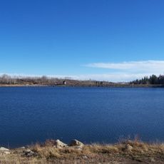
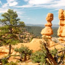
Parowan, city in and county seat of Iron County, Utah, United States

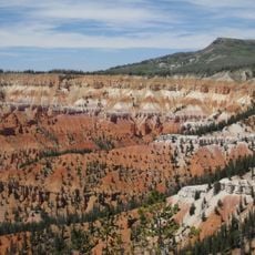
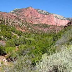
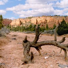
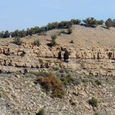
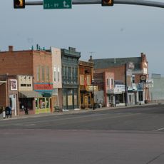
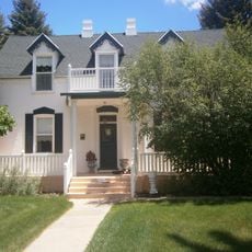
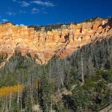
Parowan is the county seat of Iron County in southern Utah, sitting at the foot of the Markagunt Plateau. The town is laid out on a simple grid, with wide streets, low buildings, and open land stretching toward the surrounding red rock terrain.

Parowan was founded in 1851 by a group of Mormon pioneers sent south from Salt Lake City to establish a base for iron production. It grew into a hub from which other settlements across southern Utah were later founded.

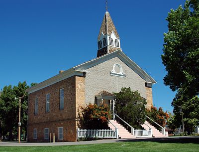
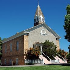
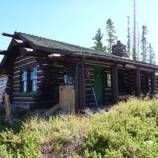
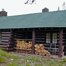
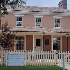
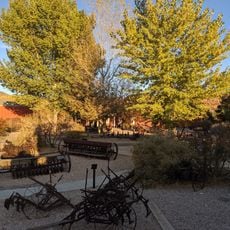
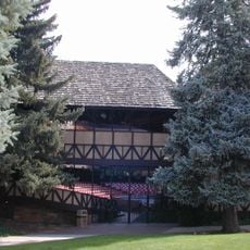
Parowan is proudly called the "Mother Town of Southern Utah" by locals, a name tied to its role as the first lasting settlement in the region. The Old Rock Church still stands in the town center and is cared for by the community as a reminder of the early settler period.

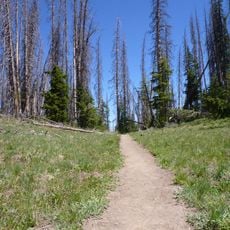
The town sits directly off Interstate 15, making it easy to reach whether you are driving north or south through Utah. Most of what there is to see in and around the area can be covered in a few hours on foot or with short drives.

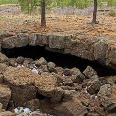
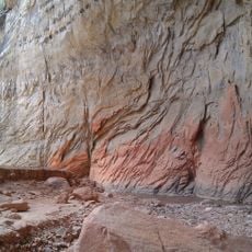
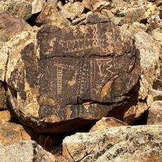
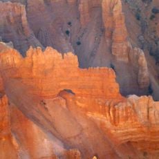
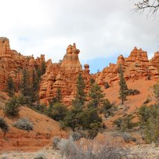
Near Parowan, the Parowan Gap is a narrow canyon whose walls are covered with over 1,500 carved symbols left by people who lived here long before European settlers arrived. Researchers still debate the meaning of many of these carvings, and the site remains open for visitors to walk through and observe them directly.

The community of curious travelers

AroundUs brings together thousands of curated places, local tips, and hidden gems, enriched daily by 60,000 contributors worldwide.

Start exploring
Location
Inception
1851
Elevation above the sea
1,834 m
GPS coordinates
37.84111,-112.83111
Latest update
March 3, 2026 08:23
Around this place
Panguitch Lake
United States of America

Panguitch Lake

21.7 km
Eccles Coliseum
United States of America

Eccles Coliseum

28.4 km
Mammoth Cave
United States of America

Mammoth Cave

37.2 km
Kolob Reservoir
United States of America

Kolob Reservoir

49.4 km
Brian Head
United States of America

Brian Head

17.8 km
Ashdown Gorge Wilderness
United States of America

Ashdown Gorge Wilderness

22.5 km
Horse Ranch Mountain
United States of America

Horse Ranch Mountain

49.7 km
Red Canyon
United States of America

Red Canyon

46.3 km
Parowan Meetinghouse
United States of America

Parowan Meetinghouse

24 m
Naturita Formation
United States of America

Naturita Formation

27.5 km
Parowan Gap Petroglyphs

Parowan Gap Petroglyphs

15.5 km
Cedar Breaks National Monument Visitor Center
United States of America

Cedar Breaks National Monument Visitor Center

25.4 km
Cedar Breaks National Monument Caretaker's Cabin
United States of America

Cedar Breaks National Monument Caretaker's Cabin

25.8 km
Panguitch Historic District
United States of America

Panguitch Historic District

34.8 km
Jesse N. Smith House
United States of America

Jesse N. Smith House

341 m
Frontier Homestead State Park Museum
United States of America

Frontier Homestead State Park Museum

26.5 km
William and Julia Lyman House
United States of America

William and Julia Lyman House

455 m
Elliot Willden House
United States of America

Elliot Willden House

50.3 km
Rollins-Eyre House
United States of America

Rollins-Eyre House

42.3 km
Southern Utah Museum of Art
United States of America

Southern Utah Museum of Art

27.6 km
Red Canyon Arch
United States of America

Red Canyon Arch

48.2 km
Kanarra Creek Canyon
United States of America

Kanarra Creek Canyon

44.1 km
Adams Memorial Shakespearean Theatre
United States of America

Adams Memorial Shakespearean Theatre

27.8 km
Alpine Pond Trail
United States of America

Alpine Pond Trail

22.9 km
Arch Canyon
United States of America

Arch Canyon

24.1 km
Casto Canyon
United States of America

Casto Canyon

44.4 km
Cedar Canyon
United States of America

Cedar Canyon

26.7 km
Losee Canyon
United States of America

Losee Canyon

44.4 km
Show the full map
Reviews
Share your experience

No review yet

Discussions
Start a discussion...

No discussion yet

« Parowan - city in and county seat of Iron County, Utah, United States » is provided by Around Us (aroundus.com). Images and texts are derived from Wikimedia project under a Creative Commons license. You are allowed to copy, distribute, and modify copies of this page, under the conditions set by the license, as long as this note is clearly visible.

Discover hidden gems everywhere you go!

From secret cafés to breathtaking viewpoints, skip the crowded tourist spots and find places that match your style. Our app makes it easy with voice search, smart filtering, route optimization, and insider tips from travelers worldwide. Download now for the complete mobile experience.

Around Us App Screenshot

A unique approach to discovering new places

Le Figaro

All the places worth exploring

France Info

A tailor-made excursion in just a few clicks

20 Minutes

Around Us
Travel Guide & Maps
Download

Send to your phone

QR Code
1

Open the camera app on your mobile.

2

Point at the QR code with your camera. A notification will appear.

3

Tap the notification to open the link.