Kodachrome Basin State Park, Nature reserve in Kane County, Utah.
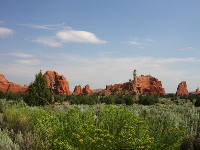
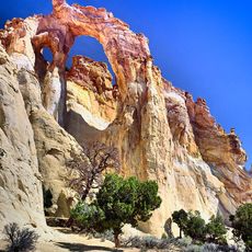
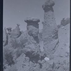
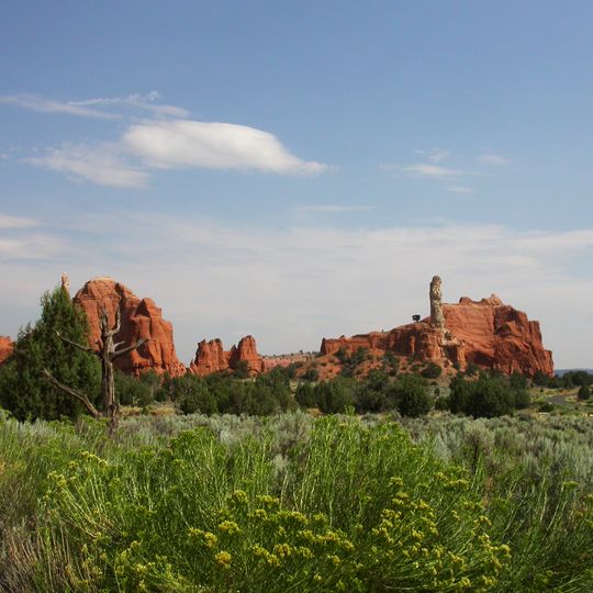
Kodachrome Basin State Park is a Utah state park in Kane County, 12 miles south of Utah Route 12 and 20 miles southeast of Bryce Canyon National Park. Its basin holds 67 sandstone pipes, or clastic dikes, from 2 to 52 metres long, rising from red and white rock layers. Photograph 1 shows a broad rounded red mass with vertical erosion grooves, smaller pointed outcrops, and a long red ridge carrying a tall narrow pillar; photograph 2 shows a tan-grey column with a rounded cap above stacked blocky red rock with deep crevices.
Explorers working with the National Geographic Society gave this place its name in 1948, drawing inspiration from the vivid colors of Kodachrome film. The area was later established as a protected park to preserve its distinctive rock formations.
The park's name comes from Kodachrome film: National Geographic Society explorers photographed the basin in 1948, and their article in the September 1949 issue called it Kodachrome Flat for the film's colour rendition. Fearing trouble with Kodak, the park was named Chimney Rock State Park in 1962, then renamed Kodachrome Basin a few years later with Kodak's permission.
The park has a campground with sites suitable for visitors with trailers and RVs of various sizes. The best times to visit are spring and fall, when temperatures are comfortable and hiking feels more enjoyable.
The park holds 67 sand pipes measuring 2 to 52 metres long. Some geologists trace the columns' three concentric vertical rings to distinct sedimentary layers below, while others argue the source sediment is Jurassic and could not have liquefied for intrusion.
The community of curious travelers
AroundUs brings together thousands of curated places, local tips, and hidden gems, enriched daily by 93,607 contributors worldwide.