Mount Hillers, Mountain summit in Garfield County, Utah, US.
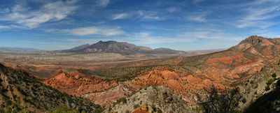
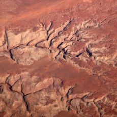
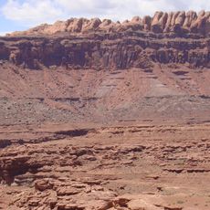
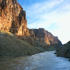
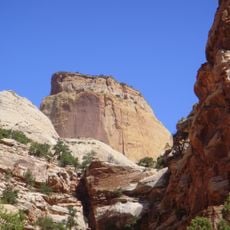
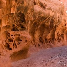
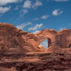
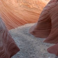
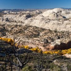
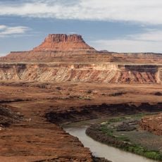
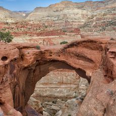
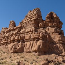
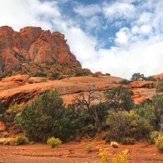
Mount Hillers rises to approximately 10,741 feet within the Henry Mountains and displays exposed sandstone formations with varied geological structures. The exposed rock landscape defines the appearance of this summit.
The mountain was named by Almon Harris Thompson after John Karl Hillers, a government photographer who documented the Colorado River region. This naming honored his contributions to mapping this remote area.
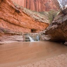
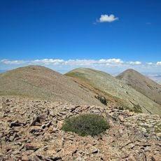
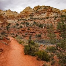
The mountain is part of the Henry Mountains, where different elevations support distinct plant communities ranging from desert vegetation in lower areas to juniper and pine forests higher up.
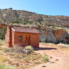
The summit is accessible via Highway 95, which provides entry to the area from southern towns. Starr Springs Campground offers facilities near the base of the mountains.
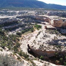
A wildfire in 2003 affected roughly 34,000 acres across the Henry Mountains and left visible marks on the north and northwest faces of the mountain. Today, the landscape shows patches where forests once grew, making the fire's impact clearly visible.
The community of curious travelers
AroundUs brings together thousands of curated places, local tips, and hidden gems, enriched daily by 60,000 contributors worldwide.