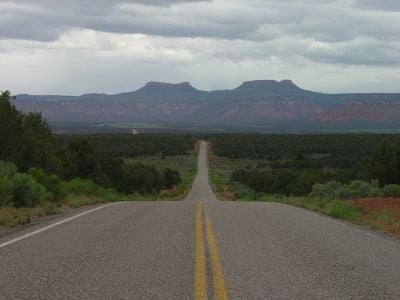
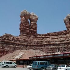
Bears Ears, Sacred landform in San Juan County, Utah.
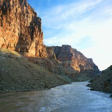
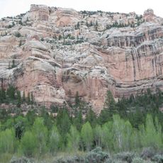
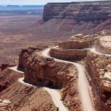
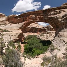
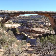
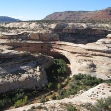
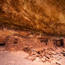
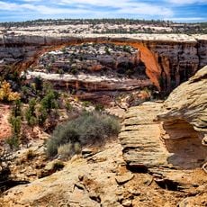
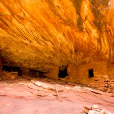
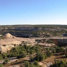
Bears Ears are two distinctive rock formations that rise prominently from the red desert landscape in southeastern Utah. The terrain throughout the area features deep canyons, cliff dwellings, and various archaeological sites scattered across the land.
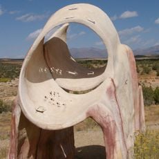
People have inhabited this area for thousands of years, with archaeological evidence showing settlements and activities from distant times. Over centuries, different groups used the land for hunting, gathering, and ceremonial purposes, leaving behind rock art and structures.
The name comes from the two rocky peaks that rise above the desert and resemble ears when viewed from certain angles. Indigenous peoples have gathered here for thousands of years, and the area remains important to their communities today.
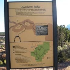
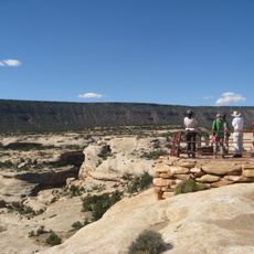
The area is large and somewhat remote, so visitors should bring plenty of water and wear good hiking shoes for the journey. Several trails exist with different difficulty levels, ranging from easy walks to challenging climbs over rough terrain.
What stands out is that the land is managed through a partnership involving multiple Indigenous nations working together. This collaborative approach shows how different communities can share authority over protecting and caring for shared ancestral lands.
The community of curious travelers
AroundUs brings together thousands of curated places, local tips, and hidden gems, enriched daily by 60,000 contributors worldwide.