Dark Canyon Wilderness, Protected wilderness area in southeastern Utah, United States.
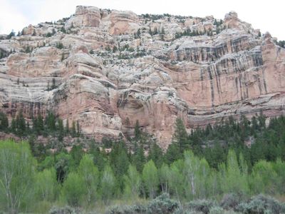
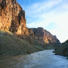
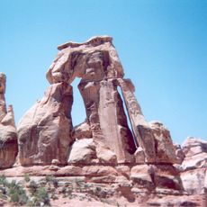
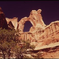
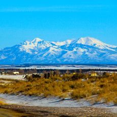
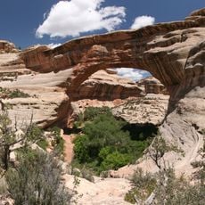
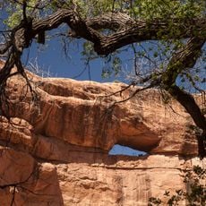
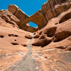
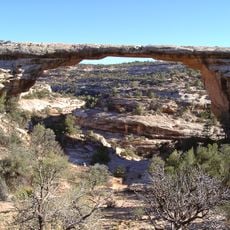
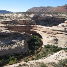
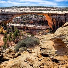
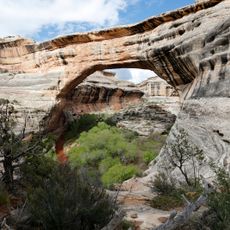
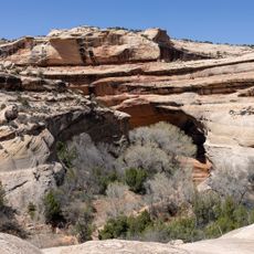
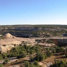
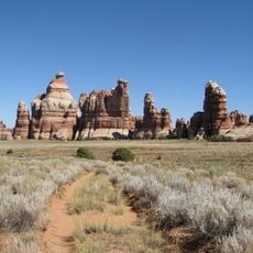
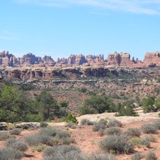
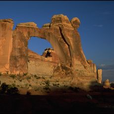
Dark Canyon Wilderness is a protected wilderness area in southeastern Utah featuring diverse terrain that ranges from desert near the Colorado River to forested mountainsides of the Abajo Mountains. The landscape contains deep canyons with steep walls, seasonal water sources from springs and streams, and multiple ecosystems across its elevations.
The area received federal protection in 1984 as a designated wilderness, preserving thousands of acres within the Manti-La Sal National Forest. This designation came as part of broader efforts to safeguard undeveloped lands in the region.
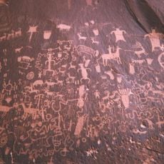
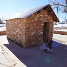
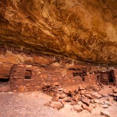
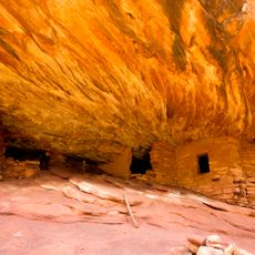
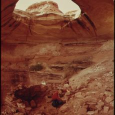
The canyons hold traces of Ancestral Puebloan settlements built into rock walls, showing how people adapted to and lived within this rugged landscape for generations. Walking through reveals signs of their presence woven into the terrain.
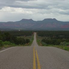
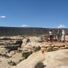
Bring at least one gallon of water per person daily, as natural water sources from springs and streams can be unreliable throughout the area. Weather can shift rapidly, especially at higher elevations, so proper gear and preparation are essential before setting out.
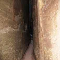
The canyon walls are so narrow and high in places that direct sunlight only reaches the bottom for a few hours each day. This permanent shadow across parts of the terrain gives the area its distinctive name.
The community of curious travelers
AroundUs brings together thousands of curated places, local tips, and hidden gems, enriched daily by 60,000 contributors worldwide.