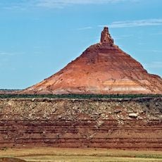
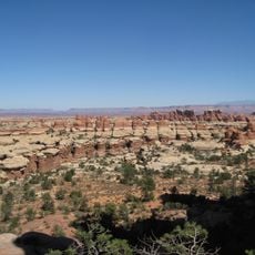
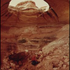
Abajo Peak, Mountain summit in San Juan County, United States.
Abajo Peak is the highest point of the Abajo Mountains in southeast Utah, standing at 3,465 meters inside the Manti-La Sal National Forest. Its summit lies 11 kilometers southwest of Monticello and 37 kilometers west of the Colorado border, and several communication towers stand on top.
Abajo Peak lies in the Abajo Mountains, whose name comes from the Spanish word for "low", given by early Spanish explorers. The range rises above the surrounding plateau country of San Juan County. The summit is 7 miles southwest of Monticello and 23 miles west of the Colorado border, within the Manti-La Sal National Forest.
The peak serves as a research location for scientists studying high-elevation environments and documenting the behavior of local wildlife species.
Reaching the top requires sturdy footwear and careful preparation for changing weather, especially during winter months. The best time to hike here is from early summer through early fall when conditions are most manageable.
From the summit, the Four Corners Monument can be seen where Utah, Arizona, New Mexico and Colorado meet, roughly 30 km east of the peak near the Colorado border. The communication towers stand beside this view.
The community of curious travelers
AroundUs brings together thousands of curated places, local tips, and hidden gems, enriched daily by 94,433 contributors worldwide.