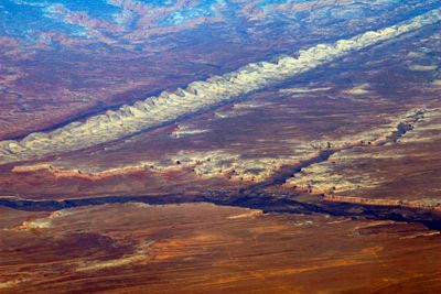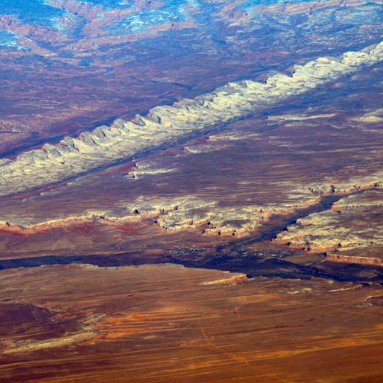
Comb Ridge, Sandstone monocline in San Juan County, United States.
Comb Ridge is a north-to-south monocline nearly 80 miles long in southeastern Utah and northeastern Arizona. Its northern end merges with the Abajo Mountains about eleven miles west of Blanding, and it runs south for 45 km (28 mi) to the San Juan River. South of the river it turns southwest and continues 67 km (42 mi) to Laguna Creek, 9 km east of Kayenta. Pale Navajo Sandstone crests stand above banded slopes meeting red earth.
Traces of Ancestral Puebloan culture lie along the southern part of the ridge where it follows Chinle Wash. The Macomb expedition of 1869 and the Hayden expedition of 1874–1876 were the first to publish maps and descriptions of the feature. The ridge and adjacent Butler Wash received their current names in 1884 from P. Holmann.
The ridge's Navajo name, Tséyíkʼáán, refers to the rock formations themselves. Traces of Ancestral Puebloan culture lie along the southern part of the ridge where it follows Chinle Wash, and numerous cliff dwellings stand along its length. The ridge and adjacent Butler Wash received their current names in 1884 from P. Holmann.
The ridge runs north–south for nearly 80 miles, from the Abajo Mountains west of Blanding down to the San Juan River and on to Laguna Creek east of Kayenta. U.S. Highway 191 crosses it at Butler Wash, where a paved side road leads to trailheads. Parts of the ridge in Utah lie within Bears Ears National Monument, so check current land-management rules before entering side canyons.
Comb Ridge was designated a National Natural Landmark in 1976 for being the only North American site with tritylodont fossils. Tritylodonts are not dinosaurs but an extinct group of mammal-like reptiles, and the ridge's Jurassic-age strata hold them. Parts of the ridge in Utah lie within Bears Ears National Monument.
The community of curious travelers
AroundUs brings together thousands of curated places, local tips, and hidden gems, enriched daily by 93,196 contributors worldwide.