The Needles, Protected area section in San Juan County, United States.
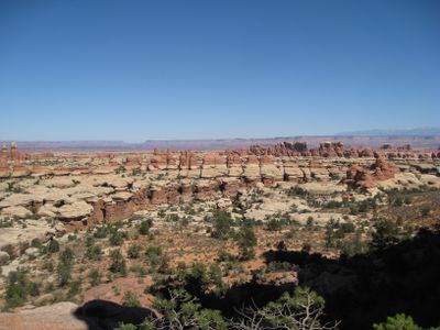
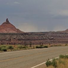
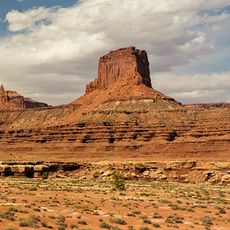
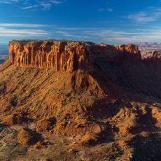
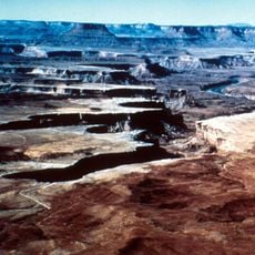
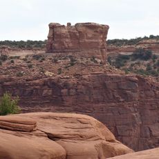
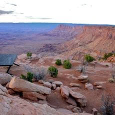
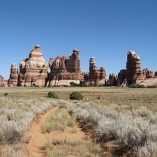
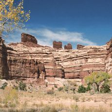
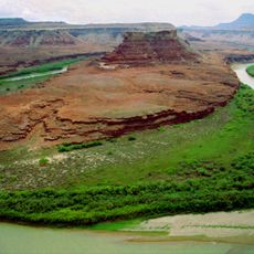
The Needles is a protected district in southeastern Utah featuring towering sandstone spires and layered rock formations across an expansive area. The landscape includes deep canyons, open desert sections, and colorful stone layers accessed through roads, trails, and established camping areas.
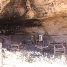
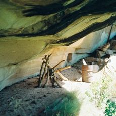
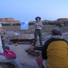
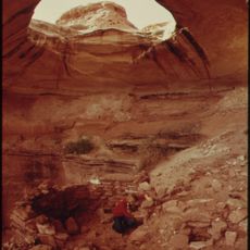
The region served as home to Native American peoples for thousands of years, who left behind rock carvings and settlement remains. These early inhabitants left traces of their presence that remain visible throughout the landscape today.
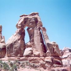
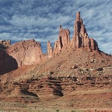
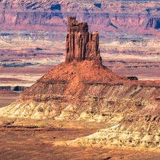
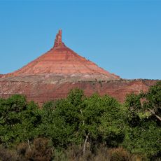
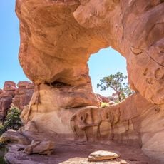
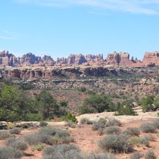
The area takes its name from the red and white striped sandstone spires that dominate the desert landscape. Visitors walking through immediately recognize why locals chose this simple, direct name for the region.
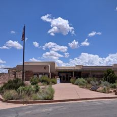
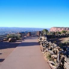
The area is accessible by paved roads leading to trailheads, campsites, and visitor facilities throughout the region. Plan time to explore different sections, as the landscape covers a broad area with varied terrain.
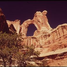
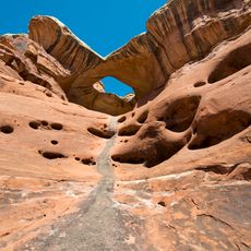
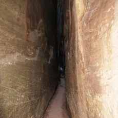
Geological forces over millions of years carved deep canyons and an intricate network of paths between the rock spires. These hidden passages cut through the terrain at unexpected angles, offering constantly shifting views of the landscape.
The community of curious travelers
AroundUs brings together thousands of curated places, local tips, and hidden gems, enriched daily by 60,000 contributors worldwide.