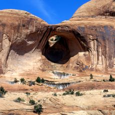
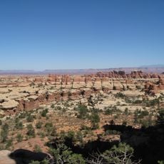
Chest opened
+${chestReward.xp} XP
Explorer
NOUVEAU ×${chestReward.collectible.quantity}
tapez pour fermer

See the monuments around you in AR Open chests in the app

Around Us is built for your phone — point your camera at the streets and discover the monuments and places around you in augmented reality. Around Us is built for your phone — chests unlock when you walk, explore and capture nearby places.

•

Enable Location

We need your location to show you interesting places around you

Discover nearby places

Find interesting locations and hidden gems around you

Precise directions

Get accurate directions and distances to places

Your location is never shared with other users. It's only used when you tap the location button.

Airport Tower

Log in to your account

Start exploring — it's free

Trusted by 95,283 travelers worldwide

Continue with Google
Continue with Apple
or

We will send you a code to connect

By continuing, you accept our Terms and Conditions and our Privacy Policy

Check your inbox

We've sent a pincode in your inbox. Please enter the code below.

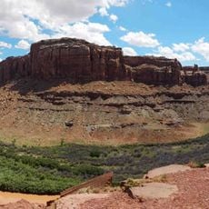
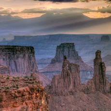
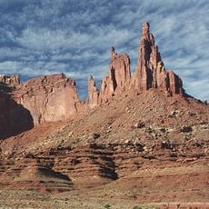
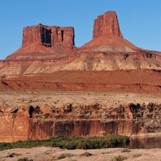
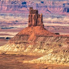
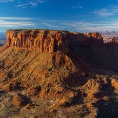
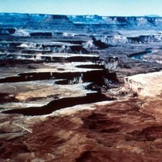
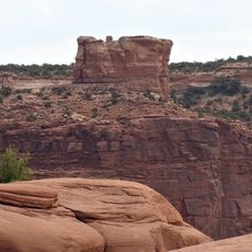
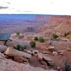
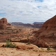
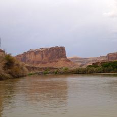
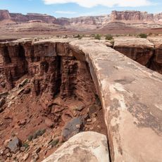
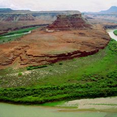
Airport Tower, Sandstone butte in Canyonlands National Park, Utah.

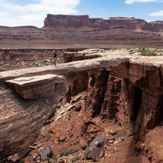
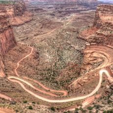
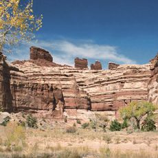
Airport Tower is a 700-foot-tall (210 m) sandstone butte in the Island in the Sky District of Canyonlands National Park, San Juan County, Utah. It stands 1.64 miles east of Washer Woman and is composed of Wingate Sandstone, the remains of wind-borne sand dunes deposited about 200 million years ago in the Late Triassic. The top rises 1,400 feet above the White Rim Road in less than one mile.

The name Airport Tower was officially adopted in 1986 by the U.S. Board on Geographic Names, because the butte resembles an airport control tower. The first ascent came in July 1994, when Galen Howell, Sonja Paspal and Steve Swanke climbed the Wind Shear route (5.11, A1, five pitches). Bret Ruckman and Marco Corncchione made the first free ascent in 1998 via the same line at 5.12a/b.

The first climbing expedition to reach the summit occurred in July 1994 when Galen Howell, Sonja Paspal, and Steve Swanke completed the Wind Shear route.

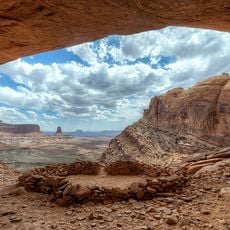
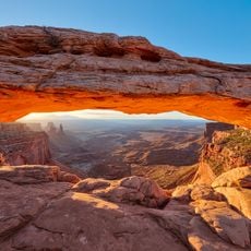
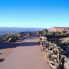
The tower is best viewed from the White Rim Road, where it stands out clearly against the sky. Those interested in a closer look can hike to Mesa Arch for a more detailed perspective of the formation.

The second ascent, in September 1995, was made by Mike Baker and Leslie Henderson via Sky Pilot (IV 5.9 A3). The butte's name, adopted in 1986, comes from its resemblance to an airport control tower. Rain falling on the summit drains southeast through Buck and Lathrop Canyons to the Colorado River.

The community of curious travelers

AroundUs brings together thousands of curated places, local tips, and hidden gems, enriched daily by 95,283 contributors worldwide.

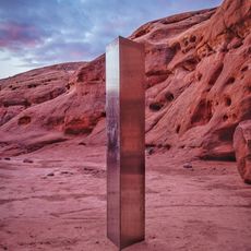
Start exploring
GPS coordinates
38.39317,-109.80811
Latest update
November 4, 2026 02:01
Reviews
Share your experience

No review yet

Discussions
Start a discussion...

No discussion yet

« Airport Tower - Sandstone butte in Canyonlands National Park, Utah » is provided by Around Us (aroundus.com). Images and texts are derived from Wikimedia project under a Creative Commons license. You are allowed to copy, distribute, and modify copies of this page, under the conditions set by the license, as long as this note is clearly visible.

Discover hidden gems everywhere you go!

From secret cafés to breathtaking viewpoints, skip the crowded tourist spots and find places that match your style. Our app makes it easy with voice search, smart filtering, route optimization, and insider tips from travelers worldwide. Download now for the complete mobile experience.
Around Us App Screenshot
❝

A unique approach to discovering new places❞

— Le Figaro

❝

All the places worth exploring❞

— France Info

❝

A tailor-made excursion in just a few clicks❞

— 20 Minutes

Around Us
Travel Guide & Maps
Download

Send to your phone

QR Code
1

Open the camera app on your mobile.

2

Point at the QR code with your camera. A notification will appear.

3

Tap the notification to open the link.