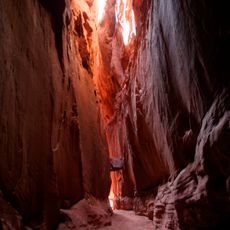
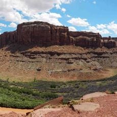
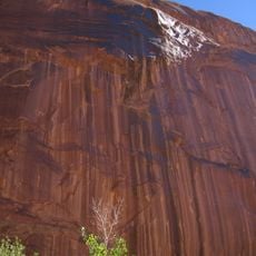
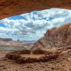
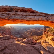
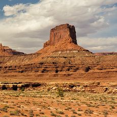
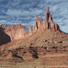
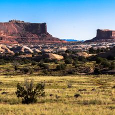
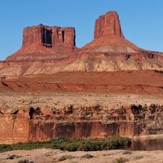
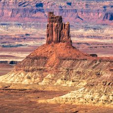
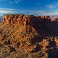
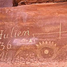
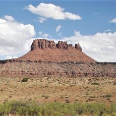
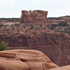
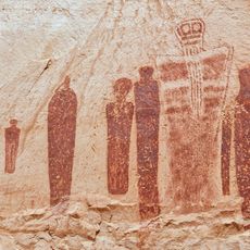
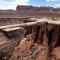
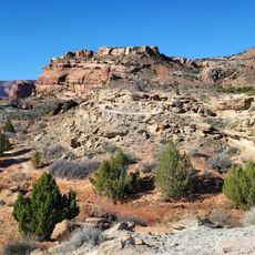
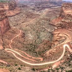
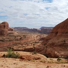
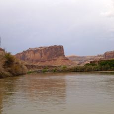
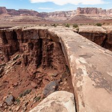
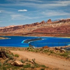
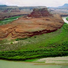
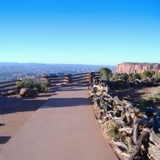
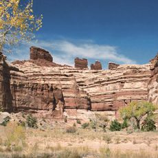
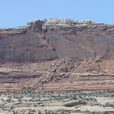
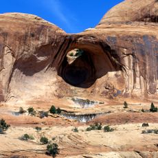
Canyon Lands, Physiographic section in Arizona, Colorado, New Mexico, and Utah, US.
Canyon Lands is a physiographic section of the Colorado Plateau in southeastern Utah and northeastern Arizona. It is dominated by canyons cut by the Colorado, Green, and San Juan rivers, with four large upwarps separated by structural basins. Laccolithic mountains such as the Henry and La Sal ranges form structural domes, and Monument Valley's rock spires rise hundreds of feet.
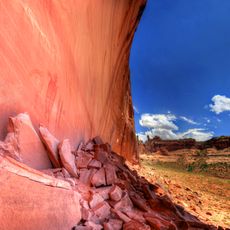
The Canyon Lands take their name from the deep canyons cut by the Colorado, Green and San Juan rivers. In the Mesa Verde cuesta on the eastern margin, recesses in the canyon walls hold the ruins of ancient cliff dwellings. The San Rafael Swell, a northeast-trending upwarp about 75 miles long and 30 miles wide, exposes rocks from Pennsylvanian through Cretaceous age.
The region contains the largest concentration of National Park Service units outside Washington D.C., including nine national parks and eighteen national monuments.
The Canyon Lands span southeastern Utah and northeastern Arizona, with the San Rafael Swell in Emery County, Utah, as the largest single feature, about 75 miles long and 30 miles wide. The San Juan River enters from the east through a deep meandering gorge, and the Muddy, San Rafael and Price rivers cross the Swell eastward. Plan routes around these drainages, since canyon rims and river crossings set the access.
The San Rafael Swell is a northeast-trending upwarp about 75 miles long and 30 miles wide in Emery County, Utah, part of a larger double-plunging anticline. Its steeply tilted flanks expose resistant sandstone beds as hogbacks that locals call "reefs". Three perennial rivers, the Muddy, San Rafael and Price, cross it eastward into the Green and Colorado systems.
The community of curious travelers
AroundUs brings together thousands of curated places, local tips, and hidden gems, enriched daily by 94,035 contributors worldwide.