Colorado, Western state in the Mountain region, United States
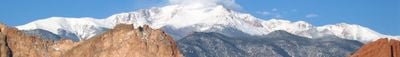
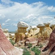
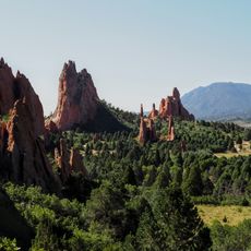
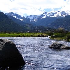
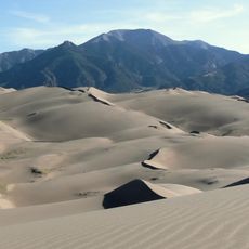
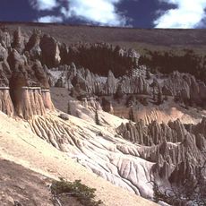
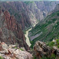
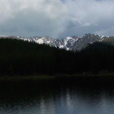
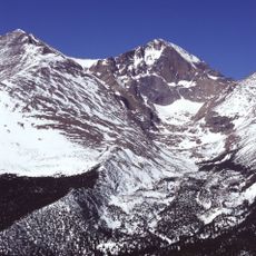
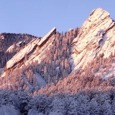
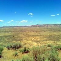
Colorado is a state in the Mountain region of the United States and covers roughly 104,000 square miles of mountains, forests, high plains, mesas, canyons, plateaus, rivers, and desert land at an average elevation around 6800 feet (2073 meters). The terrain connects different natural zones that shape how the landscape looks and how people move through it.
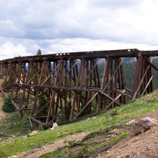
The region shifted when the Pike's Peak Gold Rush drew thousands of prospectors between 1858 and 1862, prompting statehood in 1876. That period reshaped settlement patterns and infrastructure across the territory.
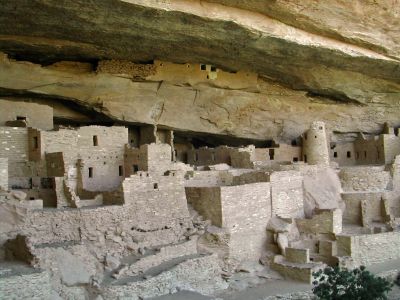
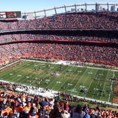
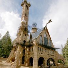
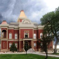
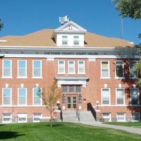
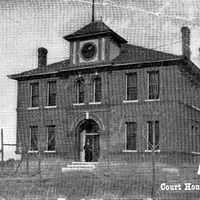
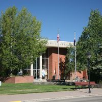
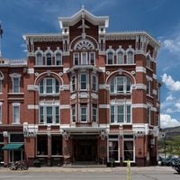
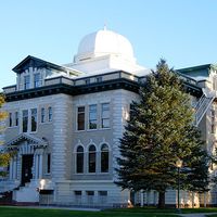
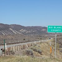
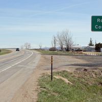
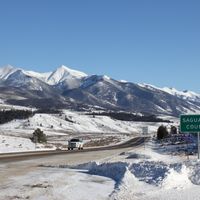
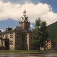
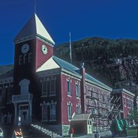
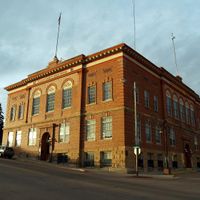
The state's cultural life mixes Native American traditions, Spanish colonial customs, and more recent waves of settlement into everyday experience. You see this blend in local markets, restaurant menus, and regional festivals that take place across its 64 counties.
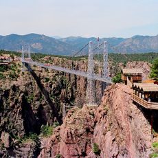
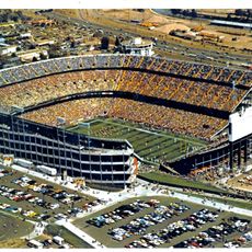
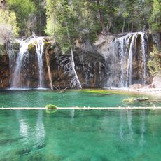
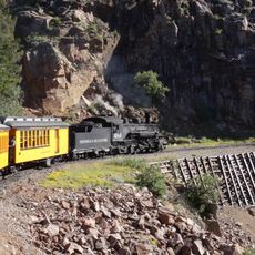
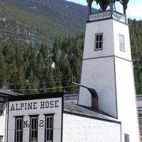
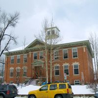
The state includes 42 state parks, 4 national parks, 8 national monuments, and 11 national forests that stay open for outdoor activities and exploration throughout the year. Different elevations and climate zones let visitors experience everything from hiking to winter sports depending on the season.
The Continental Divide runs through the state and sends rivers eastward toward the Atlantic and westward via the Colorado River toward the Pacific. This invisible line separates the two largest watersheds in North America right through the middle of the territory.
The community of curious travelers
AroundUs brings together thousands of curated places, local tips, and hidden gems, enriched daily by 60,000 contributors worldwide.