Routt County

Log in to your account

AroundUs is a community-driven map of interesting places, built by curious explorers like you. It grows with every review, story, and photo you share.
Connect to save your favorite spots, contribute locations, and create personalized routes.
Continue with Google
Continue with Apple
Continue with X
Continue with Facebook
Continue with email
By continuing, you accept our Terms and Conditions and our Privacy Policy
Create an account
Add to collection
Map
Suggest a change
Share

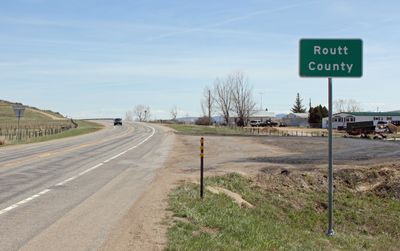
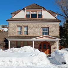
Routt County, County administration center in Colorado, United States

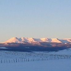
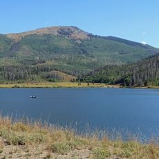
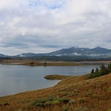
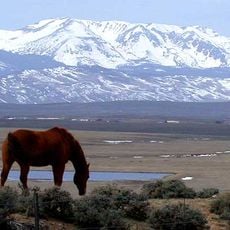
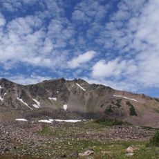
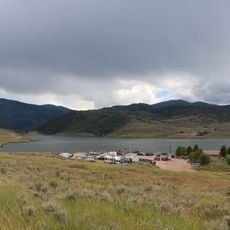
Routt County spreads across the northwestern corner of Colorado, encompassing forested ridges, mountain valleys, and open grasslands. Steamboat Springs serves as the main settlement, while smaller towns dot the landscape alongside ranches and rural communities.

The county was established in the late 1800s when miners and settlers moved into the region seeking opportunities. Its governance framework developed like many western counties, with commissioners appointed to oversee local affairs and district management.

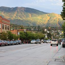
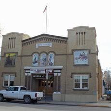
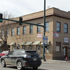
Steamboat Springs anchors the county and takes its name from a natural hot spring that once resembled a steamboat whistle. The smaller communities of Hayden, Oak Creek, and Yampa each shape local traditions and host gatherings that reflect the region's character.

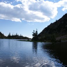
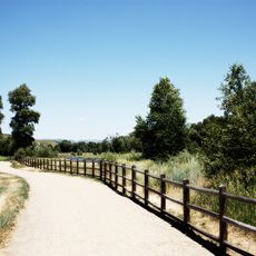
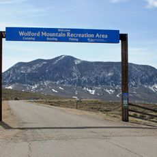
The Yampa Valley Regional Airport near Hayden offers commercial and charter flights connecting visitors to regional destinations. Road networks throughout the area provide access to natural areas, small towns, and scenic overlooks scattered across the landscape.

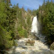
The hot springs near Steamboat Springs have drawn visitors for generations and shape the town's character. These natural features became the foundation for the region's appeal as a destination for relaxation and outdoor pursuits.

Location: Colorado

Inception: January 29, 1877

Capital city: Steamboat Springs

Shares border with: Carbon County, Jackson County, Grand County, Eagle County, Garfield County, Rio Blanco County, Moffat County

Website: http://co.routt.co.us

GPS coordinates: 40.48000,-106.99000

Latest update: December 7, 2025 10:08

Photos
Around this place
Fish Creek Falls
United States of America

Fish Creek Falls

18.5 km
Flat Top Mountain
United States of America

Flat Top Mountain

52.4 km
Laramie Formation
United States of America

Laramie Formation

60.6 km
United States of America

Gore Canyon

68.2 km
Flat Tops Wilderness Area
United States of America

Flat Tops Wilderness Area

62.8 km
Pearl Lake State Park
United States of America

Pearl Lake State Park

35.2 km
Mount Werner
United States of America

Mount Werner

21.3 km
Steamboat Lake State Park
United States of America

Steamboat Lake State Park

36.7 km
Stagecoach State Park
United States of America

Stagecoach State Park

23.9 km
Mount Zirkel Wilderness
United States of America

Mount Zirkel Wilderness

38.9 km
Yampa River State Park
United States of America

Yampa River State Park

27.4 km
Arapaho National Wildlife Refuge
United States of America

Arapaho National Wildlife Refuge

62.6 km
Mount Zirkel
United States of America

Mount Zirkel

48 km
Wolford Mountain Reservoir
United States of America

Wolford Mountain Reservoir

63.7 km
Crawford House
United States of America

Crawford House

13 km
Elkhead State Park
United States of America

Elkhead State Park

34.4 km
Stagecoach Dam
United States of America

Stagecoach Dam

25.5 km
Elkhead Reservoir
United States of America

Elkhead Reservoir

34.3 km
Waterwheel
United States of America

Waterwheel

68.3 km
Christian Science Society
United States of America

Christian Science Society

13.4 km
Museum of Northwest Colorado
United States of America

Museum of Northwest Colorado

47.4 km
Chamber of Commerce Building (Steamboat Springs, Colorado)
United States of America

Chamber of Commerce Building (Steamboat Springs, Colorado)

12.8 km
First National Bank Building
United States of America

First National Bank Building

13.2 km
Vanatta Apartments
United States of America

Vanatta Apartments

47.3 km
First National Bank Building
United States of America

First National Bank Building

47.3 km
Hayden Rooming House
United States of America

Hayden Rooming House

22.8 km
Chief Theatre
United States of America

Chief Theatre

13.1 km
Hahns Peak Lookout
United States of America

Hahns Peak Lookout

40.7 km
Show the full map
Reviews

Visited this place? Tap the stars to rate it and share your experience / photos with the community! Try now! You can cancel it anytime.

« Routt County - County administration center in Colorado, United States » is provided by Around Us (aroundus.com). Images and texts are derived from Wikimedia project under a Creative Commons license. You are allowed to copy, distribute, and modify copies of this page, under the conditions set by the license, as long as this note is clearly visible.

Discover hidden gems everywhere you go!

From secret cafés to breathtaking viewpoints, skip the crowded tourist spots and find places that match your style. Our app makes it easy with voice search, smart filtering, route optimization, and insider tips from travelers worldwide. Download now for the complete mobile experience.

Around Us App Screenshot

A unique approach to discovering new places

Le Figaro

All the places worth exploring

France Info

A tailor-made excursion in just a few clicks

20 Minutes