Mount Zirkel Wilderness, Wilderness area in northwestern Colorado, United States.
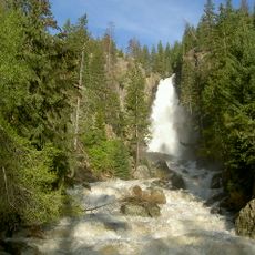
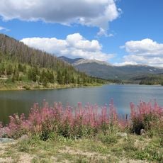
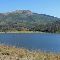
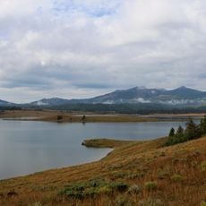
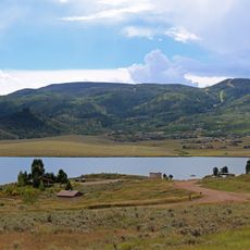
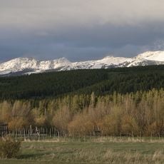
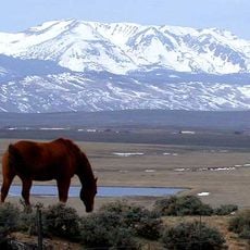
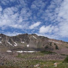
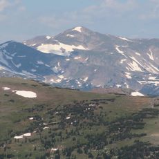
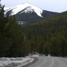
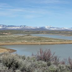
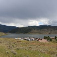
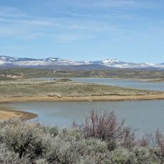
Mount Zirkel Wilderness is a protected area in Routt National Forest in northwestern Colorado, featuring alpine lakes, dense forests, and mountain peaks above 12,000 feet (3,600 m). A broad network of trails and backcountry campsites runs throughout the terrain.
The area was protected in 1964 as part of the National Wilderness Preservation System and later expanded through Colorado Wilderness Acts. These additions brought more of the surrounding land under permanent protection from development.
The wilderness takes its name from Mount Zirkel, the range's highest summit at 12,182 feet, which honours the German geologist Ferdinand Zirkel. In some areas the bedrock is metamorphic schist studded with large garnet crystals, a detail rock collectors watch for along the trails.
All mechanized equipment, including drones, is prohibited in the wilderness. The Continental Divide Trail runs for about 40 miles through or near the area, and roughly 150 miles of trails connect the boundaries to the highest peaks. Buffalo Pass, at the southern edge, holds Colorado's record snow depth, over 200 inches in early May 2011.
On October 25, 1997, a hurricane-force wind blew down 13,000 acres (5,300 ha) of old-growth forest on the western slope of the Continental Divide, the worst blowdown recorded in the Rocky Mountain region. Spruce beetles then spread from the fallen trees to standing ones in 2000 and 2001, killing many trees.
The community of curious travelers
AroundUs brings together thousands of curated places, local tips, and hidden gems, enriched daily by 93,984 contributors worldwide.