State Forest State Park

Log in to your account

AroundUs is a community-driven map of interesting places, built by curious explorers like you. It grows with every review, story, and photo you share.
Connect to save your favorite spots, contribute locations, and create personalized routes.
Continue with Google
Continue with Apple
Continue with X
Continue with Facebook
Continue with email
By continuing, you accept our Terms and Conditions and our Privacy Policy
Create an account
Add to collection
Map
Suggest a change
Share

State Forest State Park, State park in Jackson County, Colorado, US.

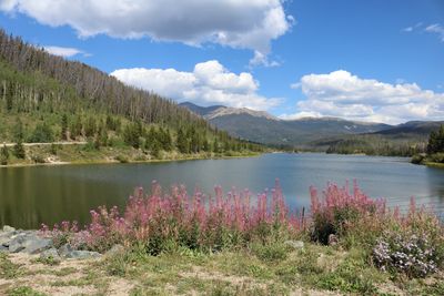
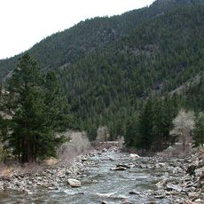
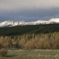
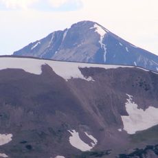
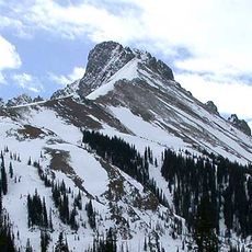
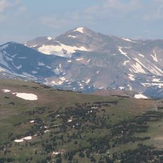
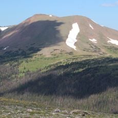
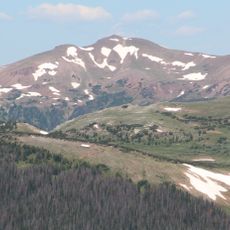
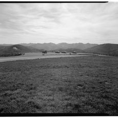
State Forest State Park is a protected landscape covering roughly 71,000 acres across Jackson County with alpine lakes, mountain ridges, dense evergreen forests, and a network of trails. The park accommodates year-round activities from hiking and boating to hunting and snow sports.

The park was established in 1970, marking a major step in expanding Colorado's network of public wilderness areas for recreation and resource protection. This decision opened a large natural landscape to public access while maintaining conservation standards.

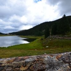
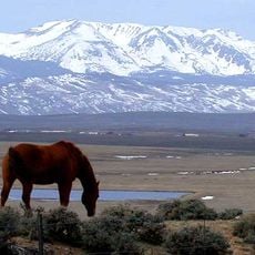
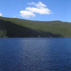
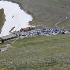
The North Michigan Reservoir serves as a central gathering point where visitors engage in fishing, camping, and wildlife observation throughout the year. The area draws people who value connection with nature and the chance to observe wild animals in their habitat.

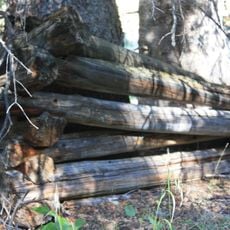
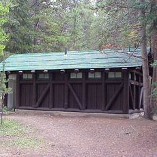
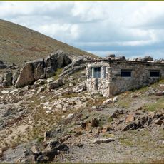
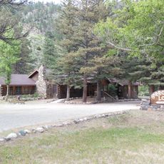
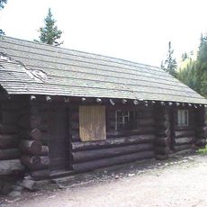
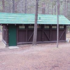
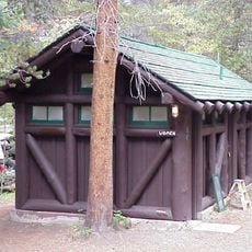
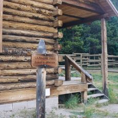
The park features 158 designated campsites, 15 rental cabins and yurts, with dedicated areas for ATVing, hiking, boating, hunting, and winter sports. This range of facilities makes it easy to find accommodation and activities suited to your interests regardless of the season.

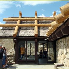
The Moose Visitor Center sits in what wildlife specialists recognize as Colorado's premier location for observing moose in the wild. The park offers a rare chance to watch these massive animals moving through their native forest habitat.

Location: Colorado

Inception: 1970

Operator: Colorado Parks & Wildlife

Website: https://cpw.state.co.us/placestogo/Parks/stateforest

GPS coordinates: 40.51140,-106.01000

Latest update: December 9, 2025 18:43

Photos
Around this place
Poudre Canyon
United States of America

Poudre Canyon

38.7 km
Grand Ditch
United States of America

Grand Ditch

14.7 km
Alpine Visitor Center
United States of America

Alpine Visitor Center

23 km
Lulu City
United States of America

Lulu City

15.6 km
Milner Pass
United States of America

Milner Pass

19.7 km
Rawah Wilderness
United States of America

Rawah Wilderness

28.8 km
Mount Richthofen
United States of America

Mount Richthofen

10.8 km
Nokhu Crags
United States of America

Nokhu Crags

10.3 km
Arapaho National Wildlife Refuge
United States of America

Arapaho National Wildlife Refuge

25.6 km
Clark Peak
United States of America

Clark Peak

12.6 km
Specimen Mountain
United States of America

Specimen Mountain

18.6 km
Iron Mountain
United States of America

Iron Mountain

13.4 km
United States of America

Braddock Peak

8.9 km
Fall River Pump House and Catchment Basin
United States of America

Fall River Pump House and Catchment Basin

23.7 km
Timberline Cabin
United States of America

Timberline Cabin

23.9 km
Timber Creek Campground Comfort Stations
United States of America

Timber Creek Campground Comfort Stations

19.8 km
Fall River Pass Ranger Station
United States of America

Fall River Pass Ranger Station

23 km
Arrowhead Lodge
United States of America

Arrowhead Lodge

38.1 km
Comanche Reservoir
United States of America

Comanche Reservoir

31.5 km
Milner Pass Road Camp Mess Hall and House
United States of America

Milner Pass Road Camp Mess Hall and House

19.5 km
Timber Creek Campground Comfort Station No. 245
United States of America

Timber Creek Campground Comfort Station No. 245

19.9 km
Timber Creek Campground Comfort Station No. 246
United States of America

Timber Creek Campground Comfort Station No. 246

19.9 km
Fall River Pass Historic District
United States of America

Fall River Pass Historic District

23 km
Alpine Ridge Trail
United States of America

Alpine Ridge Trail

23.1 km
La Poudre Pass Ranger Station
United States of America

La Poudre Pass Ranger Station

16.1 km
Park Theater
United States of America

Park Theater

33.5 km
Gore Range Overlook
United States of America

Gore Range Overlook

22.3 km
Alpine Visitor Center Viewpoint
United States of America

Alpine Visitor Center Viewpoint

23 km
Show the full map
Reviews

Visited this place? Tap the stars to rate it and share your experience / photos with the community! Try now! You can cancel it anytime.

« State Forest State Park - State park in Jackson County, Colorado, US » is provided by Around Us (aroundus.com). Images and texts are derived from Wikimedia project under a Creative Commons license. You are allowed to copy, distribute, and modify copies of this page, under the conditions set by the license, as long as this note is clearly visible.

Discover hidden gems everywhere you go!

From secret cafés to breathtaking viewpoints, skip the crowded tourist spots and find places that match your style. Our app makes it easy with voice search, smart filtering, route optimization, and insider tips from travelers worldwide. Download now for the complete mobile experience.

Around Us App Screenshot

A unique approach to discovering new places

Le Figaro

All the places worth exploring

France Info

A tailor-made excursion in just a few clicks

20 Minutes