Rawah Wilderness, Wilderness area in northern Colorado, US
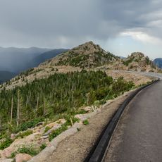
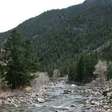
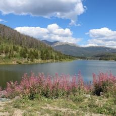
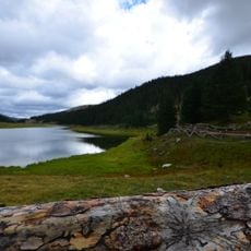
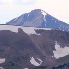
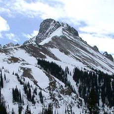
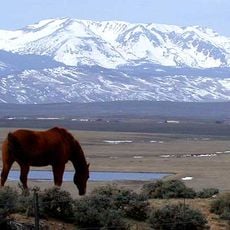
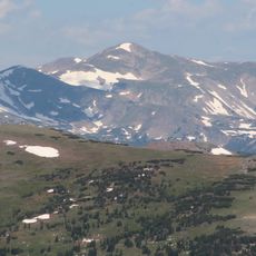
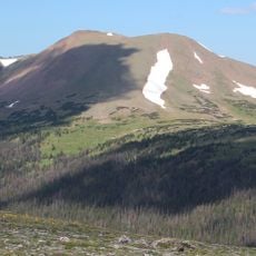
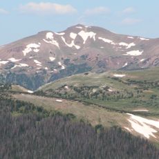
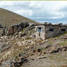
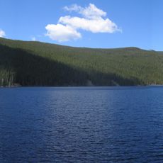
Rawah Wilderness is a protected area within the Roosevelt and Routt National Forests featuring jagged peaks and alpine valleys. The landscape is shaped by U-shaped valleys carved by glaciers, which now hold numerous mountain lakes and dense conifer forests.
The Rawah Wilderness is administered by the USDA Forest Service as part of the Canyon Lakes Ranger District of Roosevelt National Forest, near the Wyoming border, with a southern portion in Routt National Forest. Under the 1964 Wilderness Act, federal land retaining primeval character and without permanent improvements or human habitation is protected and managed to preserve its natural conditions. All mechanized equipment, including drones, is prohibited.
The name Rawah derives from the Rawah Range, the mountain chain crossing much of the area, and the wilderness takes its name from these mountains. The land lies in the Canyon Lakes Ranger District of Roosevelt National Forest and in Routt National Forest to the south. Visitors today see a landscape managed as federal wilderness, with no permanent improvements or human habitation.
The Rawah Wilderness spans elevations from 8,400 to 13,000 feet (2,600 to 4,000 meters) across the Medicine Bow Mountains and Rawah Range. Its 85 miles (137 km) of trails cross high passes where snow can linger; winter lows average 5 °F (−15 °C) and summer highs 77 °F (25 °C). All mechanized equipment, including drones, is prohibited.
The wilderness holds 25 named lakes, from 5 to 39 acres (2 to 16 hectares) each, and 85 miles (137 km) of trails. All mechanized equipment, drones included, is banned, so anglers and hikers reach the water on foot or horseback.
The community of curious travelers
AroundUs brings together thousands of curated places, local tips, and hidden gems, enriched daily by 95,354 contributors worldwide.